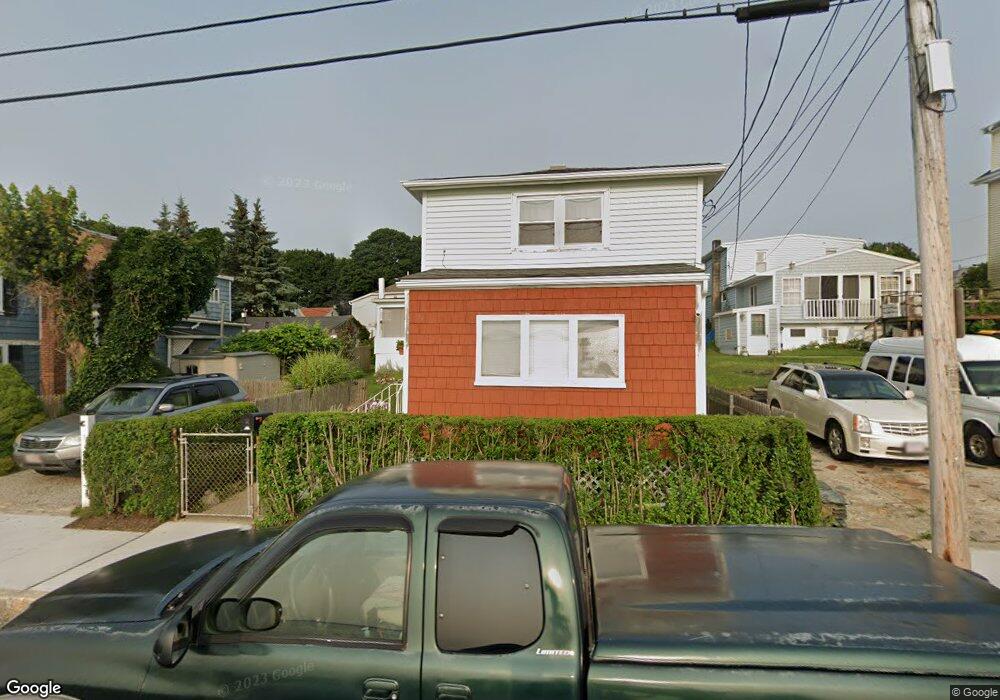
142 Atlantic Blvd Fall River, MA 02724
Sandy Beach NeighborhoodEstimated Value: $542,000 - $565,000
About This Home
This home is located at 142 Atlantic Blvd, Fall River, MA 02724 and is currently estimated at $555,777. 142 Atlantic Blvd is a home located in Bristol County with nearby schools including Henry Lord Community School, B M C Durfee High School, and Argosy Collegiate Charter School.
Ownership History
We collect this data history from publicly available records. To have your information removed, we recommend requesting removal directly through your county’s website.
Purchase Details
Home Values in the Area
Average Home Value in this Area
Purchase History
We collect this data history from publicly available records. To have your information removed, we recommend requesting removal directly through your county’s website.
| Date | Buyer | Sale Price | Title Company |
|---|---|---|---|
| $121,250 | -- |
Mortgage History
We collect this data history from publicly available records. To have your information removed, we recommend requesting removal directly through your county’s website.
| Date | Status | Borrower | Loan Amount |
|---|---|---|---|
| Open | $163,000 | ||
| Closed | $140,000 |
Tax History
We collect this data history from publicly available records. To have your information removed, we recommend requesting removal directly through your county’s website.
| Year | Tax Paid | Tax Assessment Tax Assessment Total Assessment is a certain percentage of the fair market value that is determined by local assessors to be the total taxable value of land and additions on the property. | Land | Improvement |
|---|---|---|---|---|
| 2025 | $5,755 | $502,600 | $150,000 | $352,600 |
| 2024 | $5,387 | $468,800 | $147,100 | $321,700 |
| 2023 | $5,368 | $437,500 | $132,500 | $305,000 |
| 2022 | $4,738 | $375,400 | $125,000 | $250,400 |
| 2021 | $4,417 | $319,400 | $119,400 | $200,000 |
| 2020 | $4,381 | $303,200 | $114,000 | $189,200 |
| 2019 | $4,355 | $298,700 | $119,100 | $179,600 |
| 2018 | $4,101 | $280,500 | $120,000 | $160,500 |
| 2017 | $3,899 | $278,500 | $120,000 | $158,500 |
| 2016 | $3,731 | $273,700 | $123,700 | $150,000 |
| 2015 | $3,806 | $291,000 | $123,700 | $167,300 |
| 2014 | $3,661 | $291,000 | $123,700 | $167,300 |
Map
- 39 Assonet St
- 29 Assonet St
- 49 Assonet St
- 26 Mount Hope Ave
- 16 Mount Hope Ave
- 36 Mount Hope Ave
- 134 Atlantic Blvd
- 44 Assonet St
- 158 Atlantic Blvd
- 34 Assonet St
- 54 Assonet St
- 8 Mount Hope Ave
- 116 Atlantic Blvd
- 15 Kempton St
- 7 Kempton St
- 19 Mount Hope Ave
- 19 Mount Hope Ave Unit 2
- 102 Atlantic Blvd
- 31 Moody St
- 41 Moody St
Ask me questions while you tour the home.