142 Barnes Rd Stonington, CT 06378
Estimated Value: $1,303,000 - $2,083,000
4
Beds
5
Baths
5,415
Sq Ft
$315/Sq Ft
Est. Value
About This Home
This home is located at 142 Barnes Rd, Stonington, CT 06378 and is currently estimated at $1,707,144, approximately $315 per square foot. 142 Barnes Rd is a home located in New London County with nearby schools including Stonington Middle School, Stonington High School, and Pine Point School.
Ownership History
Date
Name
Owned For
Owner Type
Purchase Details
Closed on
Sep 25, 2013
Sold by
Lamb Janice M and Lamb Hervie
Bought by
Lamb Janice M
Current Estimated Value
Home Financials for this Owner
Home Financials are based on the most recent Mortgage that was taken out on this home.
Original Mortgage
$309,900
Outstanding Balance
$157,216
Interest Rate
4.42%
Mortgage Type
New Conventional
Estimated Equity
$1,549,928
Purchase Details
Closed on
Jun 3, 2004
Sold by
Wright Christine
Bought by
Lamb Janice and Lamb Hervie
Create a Home Valuation Report for This Property
The Home Valuation Report is an in-depth analysis detailing your home's value as well as a comparison with similar homes in the area
Home Values in the Area
Average Home Value in this Area
Purchase History
| Date | Buyer | Sale Price | Title Company |
|---|---|---|---|
| Lamb Janice M | -- | -- | |
| Lamb Janice M | -- | -- | |
| Lamb Janice | $275,000 | -- | |
| Lamb Janice | $275,000 | -- |
Source: Public Records
Mortgage History
| Date | Status | Borrower | Loan Amount |
|---|---|---|---|
| Open | Lamb Janice | $309,900 | |
| Closed | Lamb Janice | $309,900 | |
| Previous Owner | Lamb Janice | $325,300 |
Source: Public Records
Tax History Compared to Growth
Tax History
| Year | Tax Paid | Tax Assessment Tax Assessment Total Assessment is a certain percentage of the fair market value that is determined by local assessors to be the total taxable value of land and additions on the property. | Land | Improvement |
|---|---|---|---|---|
| 2025 | $21,877 | $1,142,400 | $188,900 | $953,500 |
| 2024 | $20,940 | $1,142,400 | $188,900 | $953,500 |
| 2023 | $20,746 | $1,142,400 | $188,900 | $953,500 |
| 2022 | $19,112 | $780,400 | $155,700 | $624,700 |
| 2021 | $19,268 | $780,400 | $155,700 | $624,700 |
| 2020 | $18,862 | $780,400 | $155,700 | $624,700 |
| 2019 | $18,218 | $748,800 | $155,700 | $593,100 |
| 2018 | $17,604 | $748,800 | $155,700 | $593,100 |
| 2017 | $15,385 | $644,800 | $155,700 | $489,100 |
| 2016 | $14,869 | $644,800 | $155,700 | $489,100 |
| 2015 | $14,231 | $644,800 | $155,700 | $489,100 |
| 2014 | $13,657 | $644,800 | $155,700 | $489,100 |
Source: Public Records
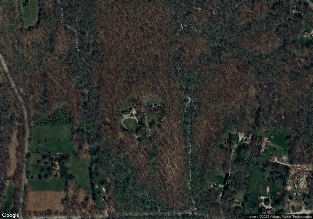
Map
Nearby Homes
- 770 Pequot Trail
- 977 Pequot Trail
- 28 Palmer Neck Rd
- 93A S Broad St
- 254 Wheeler Rd
- 106 S Anguilla Rd
- 168 S Anguilla Rd
- 2 Coveside Ln Unit 2
- 45 Quanaduck Rd
- 1 Millan Terrace
- 4 Quanaduck Cove Ct
- 16 Juniper Ln
- 264 Taugwonk Rd
- 214 S Broad St
- 66 Collins Rd
- 455 Stonington Rd
- 174 Montauk Ave
- 301 Montauk Ave
- 59 Montauk Ave
- 259 N Main St