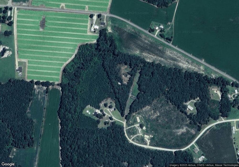
142 Bennett Farm Ln Goldsboro, NC 27530
Estimated Value: $220,000 - $279,000
4
Beds
2
Baths
2,280
Sq Ft
$108/Sq Ft
Est. Value
About This Home
This home is located at 142 Bennett Farm Ln, Goldsboro, NC 27530 and is currently estimated at $245,667, approximately $107 per square foot. 142 Bennett Farm Ln is a home located in Wayne County with nearby schools including Grantham School, Grantham Middle School, and Southern Wayne High School.
Ownership History
Date
Name
Owned For
Owner Type
Purchase Details
Closed on
Nov 8, 2011
Sold by
Maniscalco Joanmarie
Bought by
Maniscalco Robert Joseph
Current Estimated Value
Home Financials for this Owner
Home Financials are based on the most recent Mortgage that was taken out on this home.
Original Mortgage
$154,530
Outstanding Balance
$105,578
Interest Rate
4.06%
Mortgage Type
FHA
Estimated Equity
$140,089
Purchase Details
Closed on
Feb 1, 1990
Purchase Details
Closed on
Apr 1, 1986
Create a Home Valuation Report for This Property
The Home Valuation Report is an in-depth analysis detailing your home's value as well as a comparison with similar homes in the area
Home Values in the Area
Average Home Value in this Area
Purchase History
| Date | Buyer | Sale Price | Title Company |
|---|---|---|---|
| Maniscalco Robert Joseph | $38,000 | None Available | |
| -- | $20,000 | -- | |
| -- | $15,000 | -- |
Source: Public Records
Mortgage History
| Date | Status | Borrower | Loan Amount |
|---|---|---|---|
| Open | Maniscalco Robert Joseph | $154,530 |
Source: Public Records
Tax History Compared to Growth
Tax History
| Year | Tax Paid | Tax Assessment Tax Assessment Total Assessment is a certain percentage of the fair market value that is determined by local assessors to be the total taxable value of land and additions on the property. | Land | Improvement |
|---|---|---|---|---|
| 2025 | $2,133 | $292,940 | $62,740 | $230,200 |
| 2024 | $1,602 | $186,130 | $43,750 | $142,380 |
| 2023 | $1,556 | $186,130 | $43,750 | $142,380 |
| 2022 | $1,556 | $186,130 | $43,750 | $142,380 |
| 2021 | $1,490 | $186,130 | $43,750 | $142,380 |
| 2020 | $1,409 | $186,130 | $43,750 | $142,380 |
| 2018 | $1,596 | $199,450 | $36,190 | $163,260 |
| 2017 | $1,596 | $199,450 | $36,190 | $163,260 |
| 2016 | $1,596 | $199,450 | $36,190 | $163,260 |
| 2015 | $1,599 | $199,450 | $36,190 | $163,260 |
| 2014 | $1,602 | $199,450 | $36,190 | $163,260 |
Source: Public Records
Map
Nearby Homes
- 325 Paul Hare Rd
- 363 Paul Hare Rd
- 283 Paul Hare Rd
- 383 Paul Hare Rd
- 385 Paul Hare Rd
- 275 Paul Hare Rd
- 3701 Us Highway 13 S
- 4190 Us Highway 13 S
- 336 Selah Church Rd
- 667-B Loop
- 2763 US Highway 13 S
- 0 Corbett Hill Rd
- 204 Mill Creek Rd
- 214 Mill Creek Rd
- 1740 Dobbersville Rd
- 254 Falling Creek
- 2719 Oberry Rd
- 109 Red Maple Place
- 107 Red Maple Place
- 203 Grand Oaks Dr
- 110 Bennett Farm Ln
- 131 Bennett Farm Ln
- 342 Paul Hare Rd
- 121 Bennett Farm Ln
- 399 Paul Hare Rd
- 237 Paul Hare Rd
- 211 Paul Hare Rd
- 195 Paul Hare Rd
- 175 Paul Hare Rd
- 175 Paul Hare Rd
- 155 Paul Hare Rd
- 153 Paul Hare Rd
- 131 Paul Hare Rd
- 3616 Us Highway 13 S
- 145 Paul Hare Rd
- 397 Bennett Rd
- 3684 Us Highway 13 S
- 3634 Us Highway 13 S
- 3698 Us Highway 13 S
- 3658 Us Highway 13 S
