142 Big Fir Rd Stevenson, WA 98648
Estimated Value: $623,381 - $1,019,000
3
Beds
2
Baths
2,580
Sq Ft
$305/Sq Ft
Est. Value
About This Home
This home is located at 142 Big Fir Rd, Stevenson, WA 98648 and is currently estimated at $786,845, approximately $304 per square foot. 142 Big Fir Rd is a home located in Skamania County with nearby schools including Skamania Elementary School.
Ownership History
Date
Name
Owned For
Owner Type
Purchase Details
Closed on
Jun 5, 2006
Sold by
Jones Justin and Jones Jessica
Bought by
Burgess Jason M and Burgess Adrienne Brashear
Current Estimated Value
Home Financials for this Owner
Home Financials are based on the most recent Mortgage that was taken out on this home.
Original Mortgage
$40,000
Outstanding Balance
$23,504
Interest Rate
6.56%
Mortgage Type
New Conventional
Estimated Equity
$763,341
Create a Home Valuation Report for This Property
The Home Valuation Report is an in-depth analysis detailing your home's value as well as a comparison with similar homes in the area
Home Values in the Area
Average Home Value in this Area
Purchase History
| Date | Buyer | Sale Price | Title Company |
|---|---|---|---|
| Burgess Jason M | $424,967 | Skamania County Title |
Source: Public Records
Mortgage History
| Date | Status | Borrower | Loan Amount |
|---|---|---|---|
| Open | Burgess Jason M | $40,000 |
Source: Public Records
Tax History Compared to Growth
Tax History
| Year | Tax Paid | Tax Assessment Tax Assessment Total Assessment is a certain percentage of the fair market value that is determined by local assessors to be the total taxable value of land and additions on the property. | Land | Improvement |
|---|---|---|---|---|
| 2025 | $4,049 | $498,000 | $202,000 | $296,000 |
| 2024 | $3,848 | $461,100 | $182,000 | $279,100 |
| 2023 | $3,568 | $410,200 | $162,000 | $248,200 |
| 2022 | $3,663 | $374,500 | $152,000 | $222,500 |
| 2021 | $3,528 | $348,000 | $142,000 | $206,000 |
| 2020 | $3,545 | $348,000 | $142,000 | $206,000 |
| 2019 | $3,080 | $313,400 | $139,700 | $173,700 |
| 2018 | $3,147 | $305,700 | $139,700 | $166,000 |
| 2017 | $2,770 | $286,000 | $133,000 | $153,000 |
| 2015 | $2,885 | $286,000 | $133,000 | $153,000 |
| 2013 | -- | $286,000 | $133,000 | $153,000 |
Source: Public Records
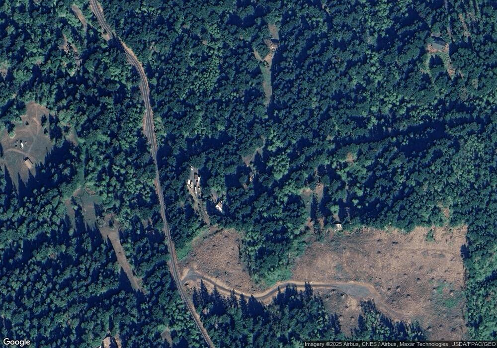
Map
Nearby Homes
- 402 Skelton Rd
- 1 Duncan Creek Rd
- 1922 Duncan Creek Rd
- 122 Winter Creek Rd
- 319 Hamilton St
- 106 Pahatu St
- 201 Farwest St
- 315 Hamilton
- 3004 Windsong Dr
- 32 Cbd Mall St
- 93 E Cascade Dr
- 818 Celilo Rd
- 2020 Greenleaf Dr
- 1013 Lakeside Ct
- 1781 Mabee Mines Rd Unit 2
- 1671 Mabee Mines Rd Unit 3
- 919 Lakeside Way
- 281 Prindle Rd
- 192 Karousel Ln Unit 1-3
- 192 Karousel Ln Unit 1
- 902 Woodard Creek Rd
- 91 Big Fir Rd
- 801 Woodard Creek Rd
- 182 Elk Run Rd
- 12 Little Fir Rd
- 322 Elk Run Rd
- 0 Tucker Rd
- 421 Elk Run Rd
- 0 Woodard Creek Rd Unit 5019405
- 0 Woodard Creek Rd Unit 3 17527258
- 0 Woodard Creek Rd Unit 18429383
- 0 Woodard Creek Rd Unit Lt200 12312779
- 0 Woodard Creek Rd
- 111 Tucker Rd
- 1202 Woodard Creek Rd
- 92 High Point Rd
- 62 Tucker Rd
- 62 Tucker Rd
- 92 Highpoint Rd
- 632 Woodard Creek Rd