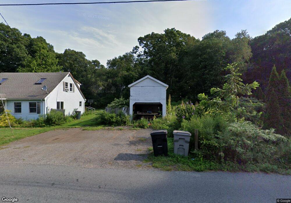
142 Bokum Rd Old Saybrook, CT 06475
Estimated Value: $493,000 - $589,000
3
Beds
2
Baths
1,470
Sq Ft
$363/Sq Ft
Est. Value
About This Home
This home is located at 142 Bokum Rd, Old Saybrook, CT 06475 and is currently estimated at $534,028, approximately $363 per square foot. 142 Bokum Rd is a home located in Middlesex County with nearby schools including Kathleen E. Goodwin School, Old Saybrook Middle School, and Old Saybrook Senior High School.
Ownership History
Date
Name
Owned For
Owner Type
Purchase Details
Closed on
Jan 30, 1998
Sold by
Gometz Ralph
Bought by
Mcgeorge William B
Current Estimated Value
Purchase Details
Closed on
Jul 14, 1988
Sold by
Wilcox Pauline M
Bought by
Dean Allan
Home Financials for this Owner
Home Financials are based on the most recent Mortgage that was taken out on this home.
Original Mortgage
$84,900
Interest Rate
10.57%
Create a Home Valuation Report for This Property
The Home Valuation Report is an in-depth analysis detailing your home's value as well as a comparison with similar homes in the area
Home Values in the Area
Average Home Value in this Area
Purchase History
| Date | Buyer | Sale Price | Title Company |
|---|---|---|---|
| Mcgeorge William B | $192,273 | -- | |
| Dean Allan | $85,000 | -- |
Source: Public Records
Mortgage History
| Date | Status | Borrower | Loan Amount |
|---|---|---|---|
| Closed | Dean Allan | $58,000 | |
| Closed | Dean Allan | $62,101 | |
| Previous Owner | Dean Allan | $68,800 | |
| Previous Owner | Dean Allan | $84,900 |
Source: Public Records
Tax History Compared to Growth
Tax History
| Year | Tax Paid | Tax Assessment Tax Assessment Total Assessment is a certain percentage of the fair market value that is determined by local assessors to be the total taxable value of land and additions on the property. | Land | Improvement |
|---|---|---|---|---|
| 2025 | $3,680 | $237,400 | $53,300 | $184,100 |
| 2024 | $3,608 | $237,400 | $53,300 | $184,100 |
| 2023 | $3,321 | $162,400 | $49,300 | $113,100 |
| 2022 | $3,261 | $162,400 | $49,300 | $113,100 |
| 2021 | $3,258 | $162,500 | $49,400 | $113,100 |
| 2020 | $3,258 | $162,500 | $49,400 | $113,100 |
| 2019 | $3,209 | $162,500 | $49,400 | $113,100 |
| 2018 | $2,928 | $149,400 | $53,600 | $95,800 |
| 2017 | $2,937 | $149,400 | $53,600 | $95,800 |
| 2016 | $2,877 | $149,400 | $53,600 | $95,800 |
| 2015 | $2,810 | $149,400 | $53,600 | $95,800 |
| 2014 | $2,764 | $149,400 | $53,600 | $95,800 |
Source: Public Records
Map
Nearby Homes
- 179 Bokum Rd
- 12 Nutmeg Ln
- 9 Turnstone Rd
- 160 Saybrook Rd
- 20 Hemlock Dr
- 62-14,15,16 Middlesex Turnpike
- 13 Hemlock Dr
- 18 Benson Ln
- 11 Trolley Crossing
- 396 Middlesex Turnpike
- 25 Essex Glen Dr
- 227 Essex Rd
- 117 Ayers Point Rd
- 40-A Ayers Point Rd
- 41 Watrous Point Rd
- 96 Ayers Point Rd
- 4 Bank Ln
- 32 Main St
- 95 Main St
- 91 Main St