142 Brand Rd Morgantown, WV 26501
Estimated Value: $447,000 - $516,000
3
Beds
5
Baths
3,824
Sq Ft
$127/Sq Ft
Est. Value
About This Home
This home is located at 142 Brand Rd, Morgantown, WV 26501 and is currently estimated at $484,490, approximately $126 per square foot. 142 Brand Rd is a home located in Monongalia County with nearby schools including Mylan Park Elementary School, Westwood Middle School, and University High School.
Ownership History
Date
Name
Owned For
Owner Type
Purchase Details
Closed on
Nov 18, 2011
Sold by
Kapnicky Paul N
Bought by
Evanto Christopher L and Evanto Julie D
Current Estimated Value
Home Financials for this Owner
Home Financials are based on the most recent Mortgage that was taken out on this home.
Original Mortgage
$53,000
Outstanding Balance
$36,256
Interest Rate
4.01%
Mortgage Type
Unknown
Estimated Equity
$448,234
Create a Home Valuation Report for This Property
The Home Valuation Report is an in-depth analysis detailing your home's value as well as a comparison with similar homes in the area
Home Values in the Area
Average Home Value in this Area
Purchase History
| Date | Buyer | Sale Price | Title Company |
|---|---|---|---|
| Evanto Christopher L | $415,000 | None Available |
Source: Public Records
Mortgage History
| Date | Status | Borrower | Loan Amount |
|---|---|---|---|
| Open | Evanto Christopher L | $53,000 | |
| Open | Evanto Christopher L | $315,000 |
Source: Public Records
Tax History Compared to Growth
Tax History
| Year | Tax Paid | Tax Assessment Tax Assessment Total Assessment is a certain percentage of the fair market value that is determined by local assessors to be the total taxable value of land and additions on the property. | Land | Improvement |
|---|---|---|---|---|
| 2024 | $2,033 | $192,360 | $19,080 | $173,280 |
| 2023 | $2,050 | $192,360 | $19,080 | $173,280 |
| 2022 | $1,939 | $189,240 | $19,080 | $170,160 |
| 2021 | $1,969 | $191,220 | $19,080 | $172,140 |
| 2020 | $1,998 | $193,200 | $19,080 | $174,120 |
| 2019 | $2,013 | $193,200 | $19,080 | $174,120 |
| 2018 | $2,041 | $195,240 | $19,080 | $176,160 |
| 2017 | $2,041 | $194,280 | $18,120 | $176,160 |
| 2016 | $2,146 | $202,980 | $8,580 | $194,400 |
| 2015 | $2,067 | $204,420 | $7,860 | $196,560 |
| 2014 | $1,963 | $203,580 | $7,560 | $196,020 |
Source: Public Records
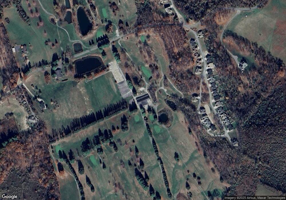
Map
Nearby Homes
- 103 Mountain Ln
- 116 Iris Ln
- 102 Iris Ln
- 114 Iris Ln
- 108 Iris Ln
- 455 Wades Run Rd
- Parcel C Guston Run Rd
- Parcel B Guston Run Rd
- Parcel A Guston Run Rd
- 15 Smith Rd
- 304 Engineering Dr
- Lot 1 Whispering Run
- 3543 Lazzelle Union Rd
- 595 Wades Run and Bowlby Rd
- Lot 3 Whispering Run
- 72 Robinson Run Rd
- tbd Walnut Hill Rd
- 8 Drake Rd
- 21 Ramp Hollow Rd
- 917 Bunker Ct