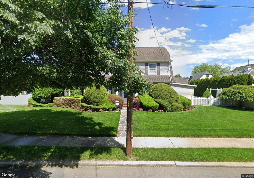
142 Buckingham Rd West Hempstead, NY 11552
Estimated Value: $834,284 - $913,000
--
Bed
2
Baths
2,138
Sq Ft
$409/Sq Ft
Est. Value
About This Home
This home is located at 142 Buckingham Rd, West Hempstead, NY 11552 and is currently estimated at $873,642, approximately $408 per square foot. 142 Buckingham Rd is a home located in Nassau County with nearby schools including Chestnut Street School, West Hempstead Secondary School, and Crescent School.
Ownership History
Date
Name
Owned For
Owner Type
Purchase Details
Closed on
Nov 3, 1995
Sold by
Liotta John and Liotta Kathleen
Bought by
Goldman Bruce and Goldman Diane
Current Estimated Value
Home Financials for this Owner
Home Financials are based on the most recent Mortgage that was taken out on this home.
Original Mortgage
$191,250
Outstanding Balance
$2,680
Interest Rate
7.62%
Estimated Equity
$870,962
Create a Home Valuation Report for This Property
The Home Valuation Report is an in-depth analysis detailing your home's value as well as a comparison with similar homes in the area
Home Values in the Area
Average Home Value in this Area
Purchase History
| Date | Buyer | Sale Price | Title Company |
|---|---|---|---|
| Goldman Bruce | $225,000 | -- |
Source: Public Records
Mortgage History
| Date | Status | Borrower | Loan Amount |
|---|---|---|---|
| Open | Goldman Bruce | $191,250 |
Source: Public Records
Tax History Compared to Growth
Tax History
| Year | Tax Paid | Tax Assessment Tax Assessment Total Assessment is a certain percentage of the fair market value that is determined by local assessors to be the total taxable value of land and additions on the property. | Land | Improvement |
|---|---|---|---|---|
| 2025 | $15,605 | $577 | $300 | $277 |
| 2024 | $4,943 | $581 | $314 | $267 |
| 2023 | $15,430 | $616 | $333 | $283 |
| 2022 | $15,430 | $606 | $327 | $279 |
| 2021 | $19,754 | $612 | $330 | $282 |
| 2020 | $15,043 | $769 | $498 | $271 |
| 2019 | $13,999 | $769 | $467 | $302 |
| 2018 | $11,900 | $820 | $0 | $0 |
| 2017 | $7,850 | $866 | $498 | $368 |
| 2016 | $12,051 | $866 | $498 | $368 |
| 2015 | $3,917 | $866 | $498 | $368 |
| 2014 | $3,917 | $866 | $498 | $368 |
| 2013 | $3,663 | $866 | $498 | $368 |
Source: Public Records
Map
Nearby Homes
- 47 Stratford Rd
- 50 Mayfair Ave
- 252 Lexington Ave
- 253 William St
- 170 Ivy St
- 39 Hilbert St
- 197 Ivy St
- 301 Concord Ave
- 181 Oak St
- 179 Fairlawn Ave
- 30 Cathedral Ave Unit 4A
- 2 Sunset Ln
- 22 Mulford Place Unit 2D
- 22 Mulford Place Unit 6C
- 35 Mulford Place
- 60 Long Dr
- 144 Hilton Ave
- 87 Elton St
- 26 Sycamore St
- 82 Hilton Ave
- 97 Chatham Place
- 106 Trinity Place
- 104 Chatham Place
- 100 Trinity Place
- 92 Trinity Place
- 135 Buckingham Rd
- 151 Buckingham Rd
- 120 Trinity Place
- 160 Buckingham Rd
- 157 Buckingham Rd
- 94 Chatham Place
- 105 Trinity Place
- 161 Buckingham Rd
- 81 Chatham Place
- 84 Chatham Place
- 166 Buckingham Rd
- 86 Trinity Place
- 127 Marlborough Rd
- 31 Trinity Place