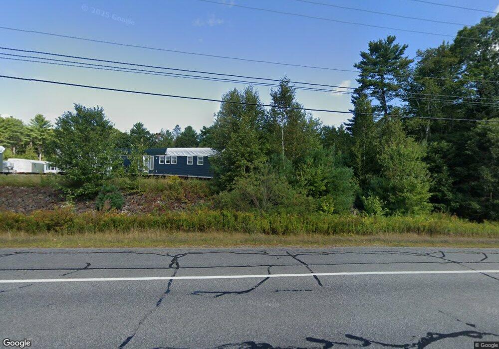
142 Camden Rd Warren, ME 04864
Estimated Value: $426,000 - $649,000
3
Beds
2
Baths
2,432
Sq Ft
$206/Sq Ft
Est. Value
About This Home
This home is located at 142 Camden Rd, Warren, ME 04864 and is currently estimated at $501,697, approximately $206 per square foot. 142 Camden Rd is a home with nearby schools including Medomak Valley High School.
Ownership History
Date
Name
Owned For
Owner Type
Purchase Details
Closed on
Oct 28, 2011
Sold by
Boggs Leland E and Boggs Jill
Bought by
Boggs Jacob C and Boggs Kayla J
Current Estimated Value
Home Financials for this Owner
Home Financials are based on the most recent Mortgage that was taken out on this home.
Original Mortgage
$147,600
Interest Rate
4.11%
Mortgage Type
Purchase Money Mortgage
Purchase Details
Closed on
Jul 20, 2010
Sold by
Boggs Leland E and Boggs Jill
Bought by
Boggs Jacob C and Boggs Kayla
Create a Home Valuation Report for This Property
The Home Valuation Report is an in-depth analysis detailing your home's value as well as a comparison with similar homes in the area
Home Values in the Area
Average Home Value in this Area
Purchase History
| Date | Buyer | Sale Price | Title Company |
|---|---|---|---|
| Boggs Jacob C | -- | -- | |
| Boggs Jacob C | -- | -- |
Source: Public Records
Mortgage History
| Date | Status | Borrower | Loan Amount |
|---|---|---|---|
| Closed | Boggs Jacob C | $147,600 |
Source: Public Records
Tax History Compared to Growth
Tax History
| Year | Tax Paid | Tax Assessment Tax Assessment Total Assessment is a certain percentage of the fair market value that is determined by local assessors to be the total taxable value of land and additions on the property. | Land | Improvement |
|---|---|---|---|---|
| 2024 | $4,658 | $328,000 | $75,500 | $252,500 |
| 2023 | $4,559 | $328,000 | $75,500 | $252,500 |
| 2022 | $3,176 | $158,800 | $47,200 | $111,600 |
| 2021 | $3,017 | $158,800 | $47,200 | $111,600 |
| 2020 | $3,081 | $158,800 | $47,200 | $111,600 |
| 2019 | $3,033 | $158,800 | $47,200 | $111,600 |
| 2018 | $2,906 | $158,800 | $47,200 | $111,600 |
| 2017 | $2,535 | $147,400 | $47,200 | $100,200 |
| 2016 | $2,388 | $147,400 | $47,200 | $100,200 |
| 2015 | $2,358 | $147,400 | $47,200 | $100,200 |
| 2014 | $2,373 | $147,400 | $47,200 | $100,200 |
| 2013 | $2,344 | $147,400 | $47,200 | $100,200 |
Source: Public Records
Map
Nearby Homes
- 11 Sunnyfield Ln
- 38 Conary Ln
- 627 Western Rd
- 40 Pine Ridge Dr
- Lot 22 S Shore Dr
- 22 Loon Loop
- 71 Bunny Trail
- 32 Fox Den Ln
- 883 N Pond Rd
- Lot #7 #16 Blue Bird Ln
- 986 Finntown Rd
- 21 Boggs Farm Ln
- 445 Manktown Rd
- 46 Cedar Dr
- 1599 Oyster River Rd
- 000 Atlantic Highway Map 4 Lot 24
- 447 Goshen Rd
- 380 Wottons Mill Rd
- 360 Cushing Rd
- 2115 Union Rd