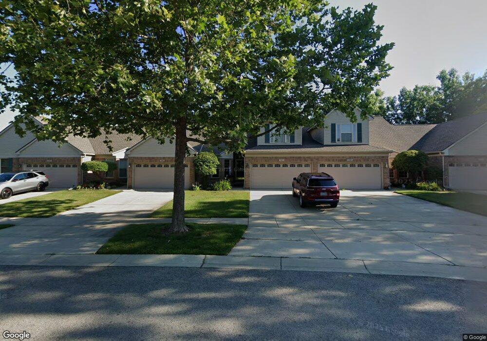
142 Carson Dr Unit 117 Westland, MI 48185
Estimated Value: $269,000 - $333,000
3
Beds
2
Baths
1,832
Sq Ft
$159/Sq Ft
Est. Value
About This Home
This home is located at 142 Carson Dr Unit 117, Westland, MI 48185 and is currently estimated at $291,246, approximately $158 per square foot. 142 Carson Dr Unit 117 is a home located in Wayne County with nearby schools including P.D. Graham Elementary School, Adlai Stevenson Middle School, and John Glenn High School.
Ownership History
Date
Name
Owned For
Owner Type
Purchase Details
Closed on
Mar 24, 2025
Sold by
Murphy Debra
Bought by
Murphy Debra and Mcqueen Micah
Current Estimated Value
Purchase Details
Closed on
Jul 18, 2003
Sold by
Galaxy Builders Inc
Bought by
Murphy Debra
Purchase Details
Closed on
Mar 12, 2003
Sold by
Brookfield Village Llc
Bought by
Galaxy Builders Inc
Create a Home Valuation Report for This Property
The Home Valuation Report is an in-depth analysis detailing your home's value as well as a comparison with similar homes in the area
Home Values in the Area
Average Home Value in this Area
Purchase History
| Date | Buyer | Sale Price | Title Company |
|---|---|---|---|
| Murphy Debra | -- | None Listed On Document | |
| Murphy Debra | $212,225 | -- | |
| Galaxy Builders Inc | $32,911 | -- |
Source: Public Records
Tax History
| Year | Tax Paid | Tax Assessment Tax Assessment Total Assessment is a certain percentage of the fair market value that is determined by local assessors to be the total taxable value of land and additions on the property. | Land | Improvement |
|---|---|---|---|---|
| 2025 | $4,151 | $128,700 | $0 | $0 |
| 2024 | $4,021 | $120,200 | $0 | $0 |
| 2023 | $3,837 | $108,400 | $0 | $0 |
| 2022 | $3,105 | $98,400 | $0 | $0 |
| 2021 | $3,027 | $94,400 | $0 | $0 |
| 2020 | $2,992 | $90,300 | $0 | $0 |
| 2019 | $2,885 | $85,700 | $0 | $0 |
| 2018 | $2,213 | $77,900 | $0 | $0 |
| 2017 | $994 | $74,100 | $0 | $0 |
| 2016 | $2,799 | $72,200 | $0 | $0 |
| 2015 | $5,478 | $61,600 | $0 | $0 |
| 2013 | $5,307 | $54,410 | $0 | $0 |
| 2012 | $2,607 | $55,770 | $0 | $0 |
Source: Public Records
Map
Nearby Homes
- 312 Brookfield Dr Unit 4
- 285 Carson Dr Unit 156
- 127 S John Hix St
- 714 Autumn Ridge Dr Unit 64
- 308 Marigold Cir Unit 54
- 312 Marigold Cir Unit 52
- 314 Marigold Cir Unit 49
- 39234 Gloucester St
- 870 N Lotz Rd
- 901 N Hix Rd
- 457 N Sybald St
- 352 Cherry Hill Pointe Dr Unit 33
- 0 Cherry Hill Unit 16924
- 1001 Manor Dr
- 38478 Loruss Ave
- 39209 Nottingham St
- 00000 Avondale St
- 1750 N Hix Rd
- 38032 Hixford Place Unit 20
- 38074 Hixford Place
- 531 Brookfield Dr Unit Bldg-Unit
- 177 Carson Dr Unit 172
- 531 Brookfield Dr Unit 83
- 527 Brookfield Dr Unit 82
- 374 Brookfield Dr Unit 19
- 301 Brookfield Dr Unit 29
- 178 Carson Dr Unit 123
- 184 Carson Dr Unit 124
- 360 Brookfield Dr Unit Bldg-Unit
- 390 Brookfield Dr
- 106 Carson Dr Unit 111
- 360 Brookfield Dr Unit 15
- 375 Carson Dr Unit 150
- 289 Brookfield Dr Unit 26
- 535 Brookfield Dr Unit 84
- 300 Carson Dr Unit 132
- 305 Carson Dr Unit 154
- 151 Carson Dr Unit 176
- 191 Carson Dr Unit 169
- 289 Brookfield Dr Unit 3 26
Your Personal Tour Guide
Ask me questions while you tour the home.