142 Chase Brook Dr Alexander, ME 04694
Estimated Value: $324,000 - $450,000
--
Bed
--
Bath
--
Sq Ft
2.31
Acres
About This Home
This home is located at 142 Chase Brook Dr, Alexander, ME 04694 and is currently estimated at $397,639. 142 Chase Brook Dr is a home with nearby schools including Alexander Elementary School and Downeast Christian School.
Ownership History
Date
Name
Owned For
Owner Type
Purchase Details
Closed on
May 6, 2022
Sold by
Martell Leonard
Bought by
Monk Scott D and Monk Leslie L
Current Estimated Value
Purchase Details
Closed on
May 20, 2015
Sold by
Hallowell Scott M and Hallowell Kristin C
Bought by
Monk Scott D and Monk Leslie L
Purchase Details
Closed on
Jun 10, 2005
Sold by
Barnard David A and Barnard Michelle L
Bought by
Hallowell Scott M and Hallowell Kristin C
Create a Home Valuation Report for This Property
The Home Valuation Report is an in-depth analysis detailing your home's value as well as a comparison with similar homes in the area
Home Values in the Area
Average Home Value in this Area
Purchase History
| Date | Buyer | Sale Price | Title Company |
|---|---|---|---|
| Monk Scott D | $60,000 | None Available | |
| Monk Scott D | -- | -- | |
| Hallowell Scott M | -- | -- |
Source: Public Records
Tax History Compared to Growth
Tax History
| Year | Tax Paid | Tax Assessment Tax Assessment Total Assessment is a certain percentage of the fair market value that is determined by local assessors to be the total taxable value of land and additions on the property. | Land | Improvement |
|---|---|---|---|---|
| 2024 | $5,000 | $370,373 | $117,312 | $253,061 |
| 2023 | $5,117 | $301,000 | $90,200 | $210,800 |
| 2022 | $5,177 | $301,000 | $90,200 | $210,800 |
| 2021 | $5,328 | $301,000 | $90,200 | $210,800 |
| 2020 | $5,478 | $301,000 | $90,200 | $210,800 |
| 2019 | $5,599 | $301,000 | $90,200 | $210,800 |
| 2018 | $4,349 | $255,800 | $90,200 | $165,600 |
| 2017 | $1,298 | $78,200 | $78,200 | $0 |
| 2016 | $1,286 | $78,200 | $78,200 | $0 |
| 2015 | $2,327 | $145,888 | $145,888 | $0 |
| 2013 | $2,349 | $145,888 | $145,888 | $0 |
Source: Public Records
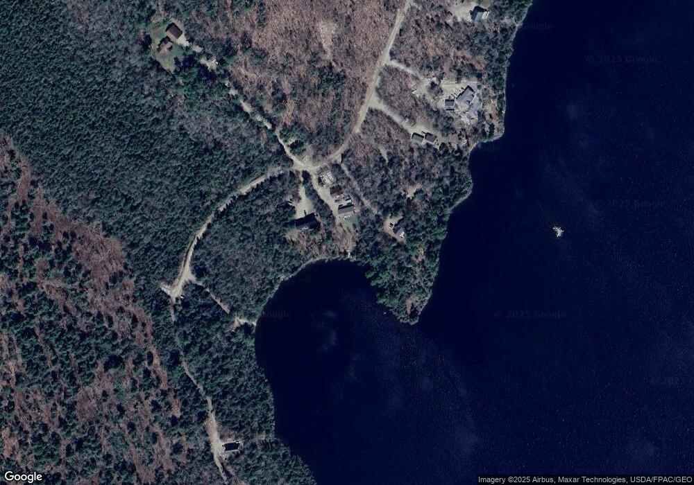
Map
Nearby Homes
- 19 Chase Rd
- 47 Chase Rd
- 20 Chase Brook Dr
- 236 Berry Rd
- 012-009 Airline Rd
- 481 Airline Rd
- Lot 8 Airline Rd
- Lot 53 Robb Hill Rd
- 41 Hickory Ln
- 35 Maple St
- 10 Palm St
- 60 Summit St
- 105 Broadway St
- Lot 10 Route 1
- 22 Pine Tree Shore
- 0 Ryan Rd
- M2/L2-2 S Princeton Rd
- M2/L2-3 S Princeton Rd
- 954 S Princeton Rd
- 18 + 24 Sunny Cove Ln
- 144 Chase Brook Dr
- 132 Chase Brook Dr
- 136 Chase Brook Dr
- 126 Chase Brook Dr
- 120 Chase Brook Dr
- 143 Chase Brook Dr
- 110 Chase Brook Dr
- 200 Chase Brook Dr
- 200 Chase Brook Dr
- 200 Chase Brook Dr
- 200 Chase Brook Dr
- xx Chase Brook Dr
- 93 Chase Brook Dr
- 94 Chase Brook Dr
- 77 Chase Brook Dr
- 82 Chase Brook Dr
- 84 Chase Brook Dr
- 76 Chase Brook Dr
- 224 Berry Rd
- 70 Chase Brook Dr