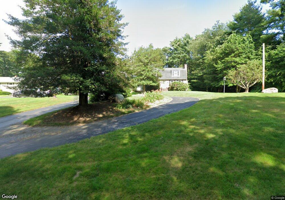
142 Christopher Cir Westport, MA 02790
North Westport NeighborhoodEstimated Value: $713,495 - $870,000
3
Beds
3
Baths
3,304
Sq Ft
$250/Sq Ft
Est. Value
About This Home
This home is located at 142 Christopher Cir, Westport, MA 02790 and is currently estimated at $826,124, approximately $250 per square foot. 142 Christopher Cir is a home located in Bristol County with nearby schools including Alice A. Macomber Primary School, Westport Elementary School, and Westport Middle-High School.
Ownership History
Date
Name
Owned For
Owner Type
Purchase Details
Closed on
Oct 5, 2011
Sold by
Brooder Wayne J and Brooder Sandra J
Bought by
Brooder Wayne J and Brooder Sandra J
Current Estimated Value
Purchase Details
Closed on
Feb 25, 1977
Bought by
Brooder Wayne J and Brooder Sandra J
Create a Home Valuation Report for This Property
The Home Valuation Report is an in-depth analysis detailing your home's value as well as a comparison with similar homes in the area
Home Values in the Area
Average Home Value in this Area
Purchase History
| Date | Buyer | Sale Price | Title Company |
|---|---|---|---|
| Brooder Wayne J | -- | -- | |
| Brooder Wayne J | -- | -- |
Source: Public Records
Mortgage History
| Date | Status | Borrower | Loan Amount |
|---|---|---|---|
| Previous Owner | Brooder Wayne J | $60,000 |
Source: Public Records
Tax History
| Year | Tax Paid | Tax Assessment Tax Assessment Total Assessment is a certain percentage of the fair market value that is determined by local assessors to be the total taxable value of land and additions on the property. | Land | Improvement |
|---|---|---|---|---|
| 2025 | $4,694 | $630,000 | $162,000 | $468,000 |
| 2024 | $4,034 | $521,900 | $150,100 | $371,800 |
| 2023 | $4,004 | $490,700 | $136,400 | $354,300 |
| 2022 | $3,820 | $450,500 | $136,400 | $314,100 |
| 2021 | $3,776 | $438,100 | $124,000 | $314,100 |
| 2020 | $3,547 | $420,700 | $119,100 | $301,600 |
| 2019 | $3,309 | $400,100 | $119,100 | $281,000 |
| 2018 | $3,343 | $409,200 | $121,000 | $288,200 |
| 2017 | $5,460 | $392,400 | $121,000 | $271,400 |
| 2016 | $3,095 | $391,300 | $121,000 | $270,300 |
| 2015 | $2,833 | $357,200 | $121,000 | $236,200 |
Source: Public Records
Map
Nearby Homes
- 138 Christopher Cir
- 4 Holly Hill Ave
- 10 Christopher Cir
- 134 Christopher Cir
- 8 Holly Hill Ave
- 30 Tickle Rd
- 90 Christopher Cir
- 26 Tickle Rd
- 100 Christopher Cir
- 110 Christopher Cir
- 1 Holly Hill Ave
- 130 Christopher Cir
- 18 Tickle Rd
- 5 Holly Hill Ave
- 40 Tickle Rd
- 80 Christopher Cir
- 120 Christopher Cir
- 9 Holly Hill Ave
- 12 Tickle Rd
- 44 Tickle Rd
Your Personal Tour Guide
Ask me questions while you tour the home.