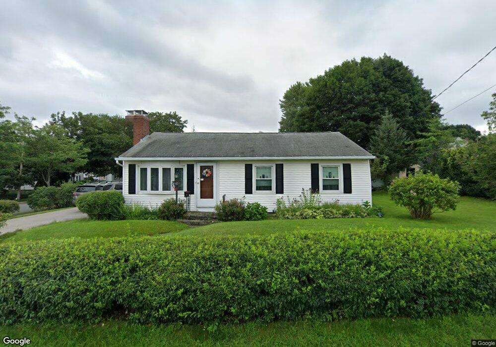
142 Clark St Worcester, MA 01606
Burncoat NeighborhoodEstimated Value: $388,122 - $418,000
3
Beds
1
Bath
988
Sq Ft
$408/Sq Ft
Est. Value
About This Home
This home is located at 142 Clark St, Worcester, MA 01606 and is currently estimated at $403,531, approximately $408 per square foot. 142 Clark St is a home located in Worcester County with nearby schools including Worcester Arts Magnet School, Jacob Hiatt Magnet School, and Chandler Magnet.
Create a Home Valuation Report for This Property
The Home Valuation Report is an in-depth analysis detailing your home's value as well as a comparison with similar homes in the area
Home Values in the Area
Average Home Value in this Area
Tax History
| Year | Tax Paid | Tax Assessment Tax Assessment Total Assessment is a certain percentage of the fair market value that is determined by local assessors to be the total taxable value of land and additions on the property. | Land | Improvement |
|---|---|---|---|---|
| 2025 | $4,499 | $341,100 | $118,800 | $222,300 |
| 2024 | $4,417 | $321,200 | $118,800 | $202,400 |
| 2023 | $4,332 | $302,100 | $103,300 | $198,800 |
| 2022 | $3,831 | $251,900 | $82,700 | $169,200 |
| 2021 | $3,676 | $225,800 | $66,200 | $159,600 |
| 2020 | $3,538 | $208,100 | $66,100 | $142,000 |
| 2019 | $3,328 | $184,900 | $59,600 | $125,300 |
| 2018 | $3,236 | $171,100 | $59,600 | $111,500 |
| 2017 | $3,256 | $169,400 | $59,600 | $109,800 |
| 2016 | $3,155 | $153,100 | $44,000 | $109,100 |
| 2015 | $3,073 | $153,100 | $44,000 | $109,100 |
| 2014 | $2,992 | $153,100 | $44,000 | $109,100 |
Source: Public Records
Map
Nearby Homes
- 58 Osceola Ave
- 66 Eunice Ave
- 248 Saint Nicholas Ave
- 331 Burncoat St
- 323 Burncoat St
- 3205 Halcyon Dr Unit 3205
- 2101 Halcyon Dr Unit 2101
- 63 Cobblestone Ln Unit 63
- 31 Enaya Cir Unit 31
- 169 Whitmarsh Ave
- 94 Kendrick Ave
- 4 Winston Rd
- 93 Blue Bell Rd
- 39 Whitmarsh Ave
- 30 Danielles Way
- 18 Danielles Way
- 79 Humes Ave
- 39 Bullard Ave
- 110 Beverly Rd
- 18 Gosnold St
Your Personal Tour Guide
Ask me questions while you tour the home.