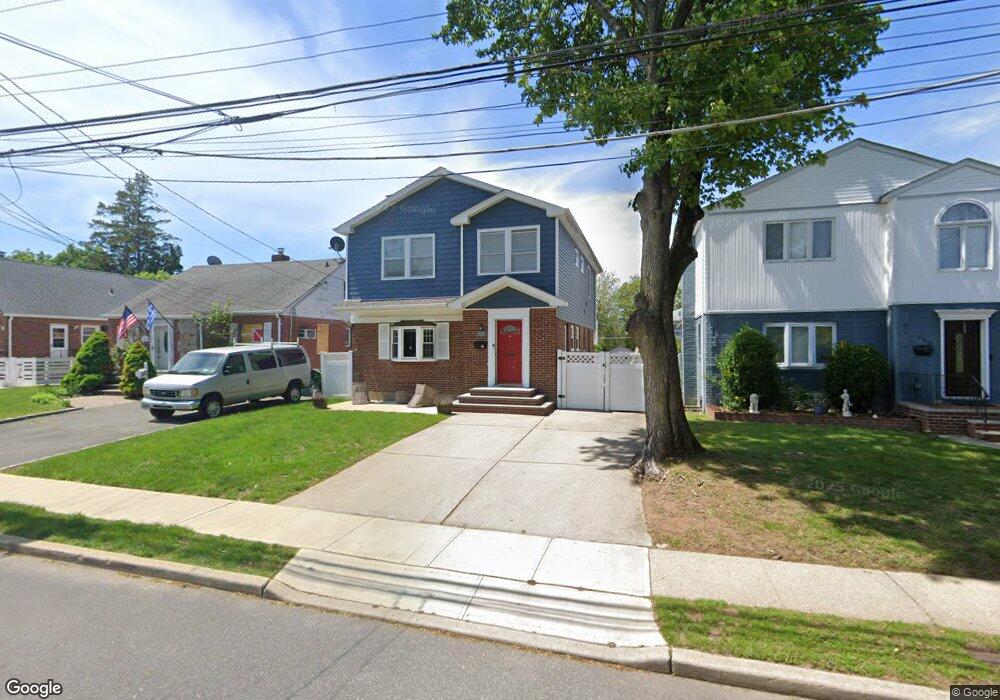
142 Commonwealth St Franklin Square, NY 11010
Estimated Value: $791,378 - $919,000
Studio
1
Bath
1,885
Sq Ft
$454/Sq Ft
Est. Value
About This Home
This home is located at 142 Commonwealth St, Franklin Square, NY 11010 and is currently estimated at $855,189, approximately $453 per square foot. 142 Commonwealth St is a home located in Nassau County with nearby schools including St Anne's School.
Ownership History
Date
Name
Owned For
Owner Type
Purchase Details
Closed on
Feb 11, 2022
Sold by
Tierney Eileen M
Bought by
Meehan Eileen M and Meehan Jason
Current Estimated Value
Home Financials for this Owner
Home Financials are based on the most recent Mortgage that was taken out on this home.
Original Mortgage
$381,500
Outstanding Balance
$323,258
Interest Rate
2.93%
Mortgage Type
New Conventional
Estimated Equity
$531,931
Purchase Details
Closed on
Mar 26, 2007
Sold by
Musgrave Theresa
Bought by
Tierney Eileen
Purchase Details
Closed on
Feb 6, 2004
Sold by
Musgrave Theresa
Create a Home Valuation Report for This Property
The Home Valuation Report is an in-depth analysis detailing your home's value as well as a comparison with similar homes in the area
Home Values in the Area
Average Home Value in this Area
Purchase History
| Date | Buyer | Sale Price | Title Company |
|---|---|---|---|
| Meehan Eileen M | -- | Equity Settlement Svcs Inc | |
| Tierney Eileen | $400,000 | -- | |
| -- | -- | -- |
Source: Public Records
Mortgage History
| Date | Status | Borrower | Loan Amount |
|---|---|---|---|
| Open | Meehan Eileen M | $381,500 |
Source: Public Records
Tax History
| Year | Tax Paid | Tax Assessment Tax Assessment Total Assessment is a certain percentage of the fair market value that is determined by local assessors to be the total taxable value of land and additions on the property. | Land | Improvement |
|---|---|---|---|---|
| 2025 | $10,474 | $749 | $202 | $547 |
| 2024 | $4,275 | $749 | $202 | $547 |
Source: Public Records
Map
Nearby Homes
- 138 Commonwealth St
- 146 Commonwealth St
- 134 Commonwealth St
- 150 Commonwealth St
- 141 Claflin Blvd
- 137 Claflin Blvd
- 130 Commonwealth St
- 133 Claflin Blvd
- 154 Commonwealth St
- 149 Claflin Blvd
- 141 Commonwealth St
- 129 Claflin Blvd
- 137 Commonwealth St
- 145 Commonwealth St
- 133 Commonwealth St
- 122 Commonwealth St
- 158 Commonwealth St
- 149 Commonwealth St
- 153 Claflin Blvd
Your Personal Tour Guide
Ask me questions while you tour the home.