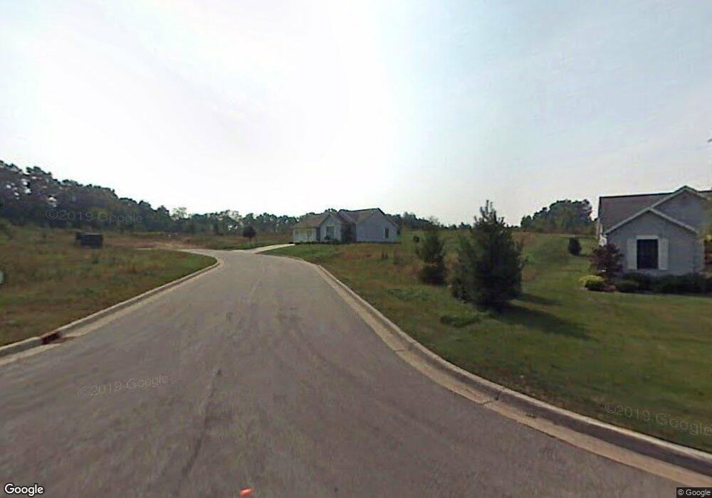
142 Conifer Trail Unit 17 Dowagiac, MI 49047
Estimated Value: $243,216 - $353,000
--
Bed
2
Baths
1,175
Sq Ft
$252/Sq Ft
Est. Value
About This Home
This home is located at 142 Conifer Trail Unit 17, Dowagiac, MI 49047 and is currently estimated at $295,554, approximately $251 per square foot. 142 Conifer Trail Unit 17 is a home located in Cass County with nearby schools including Kincheloe Elementary School, Dowagiac Middle School, and Union High School.
Ownership History
Date
Name
Owned For
Owner Type
Purchase Details
Closed on
Dec 20, 2012
Sold by
Gunn Ronald A
Bought by
Ronald A Gunn Revocable Trust Agreement
Current Estimated Value
Home Financials for this Owner
Home Financials are based on the most recent Mortgage that was taken out on this home.
Original Mortgage
$113,500
Outstanding Balance
$78,526
Interest Rate
3.34%
Mortgage Type
New Conventional
Estimated Equity
$217,028
Purchase Details
Closed on
Dec 1, 2006
Sold by
Gunn Ronald A
Bought by
Ronald A Gunn Revocable Trust Agreement
Purchase Details
Closed on
Apr 7, 2006
Sold by
Horn C Nadyne and Butts Marsha L
Bought by
Gunn Ronald A
Home Financials for this Owner
Home Financials are based on the most recent Mortgage that was taken out on this home.
Original Mortgage
$116,000
Interest Rate
6.33%
Mortgage Type
Fannie Mae Freddie Mac
Create a Home Valuation Report for This Property
The Home Valuation Report is an in-depth analysis detailing your home's value as well as a comparison with similar homes in the area
Home Values in the Area
Average Home Value in this Area
Purchase History
| Date | Buyer | Sale Price | Title Company |
|---|---|---|---|
| Ronald A Gunn Revocable Trust Agreement | -- | None Available | |
| Gunn Ronald A | -- | None Available | |
| Ronald A Gunn Revocable Trust Agreement | -- | None Available | |
| Gunn Ronald A | $130,000 | Meridian Title Corporation |
Source: Public Records
Mortgage History
| Date | Status | Borrower | Loan Amount |
|---|---|---|---|
| Open | Gunn Ronald A | $113,500 | |
| Closed | Gunn Ronald A | $116,000 |
Source: Public Records
Tax History Compared to Growth
Tax History
| Year | Tax Paid | Tax Assessment Tax Assessment Total Assessment is a certain percentage of the fair market value that is determined by local assessors to be the total taxable value of land and additions on the property. | Land | Improvement |
|---|---|---|---|---|
| 2025 | $2,180 | $106,100 | $106,100 | $0 |
| 2024 | $1,505 | $106,100 | $106,100 | $0 |
| 2023 | $1,384 | $66,300 | $0 | $0 |
| 2022 | $1,317 | $61,500 | $0 | $0 |
| 2021 | $1,914 | $57,700 | $0 | $0 |
| 2020 | $1,912 | $58,600 | $0 | $0 |
| 2019 | $1,851 | $57,300 | $0 | $0 |
| 2018 | $1,208 | $50,900 | $0 | $0 |
| 2017 | $1,183 | $54,900 | $0 | $0 |
| 2016 | $1,163 | $60,100 | $0 | $0 |
| 2015 | -- | $54,900 | $0 | $0 |
| 2011 | -- | $63,700 | $0 | $0 |
Source: Public Records
Map
Nearby Homes
- 26841 Dutch Settlement St
- VL Marcellus Hwy
- 26640 Dutch Settlement St
- 423 E Division St
- 101 Haines St
- 403 Oak St
- 210 McOmber St
- 303 Jones St
- 208 E Prairie Ronde St
- 315 McOmber St
- 309 N Front St
- 604 Orchard St
- 706 N Front St
- 115 Dogwood Cir
- 55132 M 51 N
- 55063 M 51 N
- 100 Dogwood Cir
- 512 Green St
- 204 E High St
- 307 New York Ave
- 118 N Villamere Dr
- 116 N Villamere Dr
- 116 N Villamere Dr Unit 14
- 139 N Villamere Dr Unit 32
- 114 N Villamere Dr
- N Villamere Dr
- 0 N Villamere Dr
- 112 N Villamere Dr Unit 12
- 117 N Villamere Dr
- 115 N Villamere Dr
- 123 N Villamere Dr
- 113 N Villamere Dr
- 110 N Villamere Dr
- 133 N Villamere Dr
- 108 N Villamere Dr
- 106 N Villamere Dr
- 109 N Villamere Dr
- 104 N Villamere Dr
- 107 N Villamere Dr Unit 4
- 55850 Davis Ln