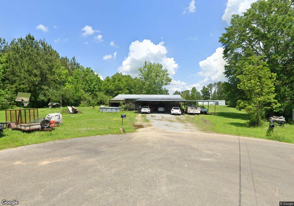
142 D Bledsoe Rd Pollock, LA 71467
Estimated Value: $142,483 - $253,000
2
Beds
1
Bath
1,018
Sq Ft
$174/Sq Ft
Est. Value
About This Home
This home is located at 142 D Bledsoe Rd, Pollock, LA 71467 and is currently estimated at $177,371, approximately $174 per square foot. 142 D Bledsoe Rd is a home located in Grant Parish with nearby schools including Pollock Elementary School, Grant Junior High School, and Grant High School.
Ownership History
Date
Name
Owned For
Owner Type
Purchase Details
Closed on
Jan 7, 2010
Sold by
Triple S Investments Llc
Bought by
Sayer Joshua Roy
Current Estimated Value
Home Financials for this Owner
Home Financials are based on the most recent Mortgage that was taken out on this home.
Original Mortgage
$80,070
Outstanding Balance
$52,250
Interest Rate
4.83%
Estimated Equity
$125,121
Create a Home Valuation Report for This Property
The Home Valuation Report is an in-depth analysis detailing your home's value as well as a comparison with similar homes in the area
Purchase History
| Date | Buyer | Sale Price | Title Company |
|---|---|---|---|
| Sayer Joshua Roy | $75,000 | -- |
Source: Public Records
Mortgage History
| Date | Status | Borrower | Loan Amount |
|---|---|---|---|
| Open | Sayer Joshua Roy | $80,070 |
Source: Public Records
Tax History
| Year | Tax Paid | Tax Assessment Tax Assessment Total Assessment is a certain percentage of the fair market value that is determined by local assessors to be the total taxable value of land and additions on the property. | Land | Improvement |
|---|---|---|---|---|
| 2024 | $12 | $8,285 | $1,805 | $6,480 |
| 2023 | $1,263 | $8,156 | $2,000 | $6,156 |
| 2022 | $1,261 | $8,156 | $2,000 | $6,156 |
| 2021 | $1,261 | $8,156 | $2,000 | $6,156 |
| 2020 | $1,259 | $8,156 | $2,000 | $6,156 |
| 2019 | $1,267 | $7,940 | $2,000 | $5,940 |
| 2018 | $1,267 | $7,940 | $2,000 | $5,940 |
| 2017 | $1,168 | $7,940 | $2,000 | $5,940 |
| 2015 | $1,350 | $7,724 | $2,000 | $5,724 |
| 2014 | $1,350 | $7,724 | $2,000 | $5,724 |
| 2013 | $1,350 | $7,724 | $2,000 | $5,724 |
Source: Public Records
Map
Nearby Homes
- 479 Airbase Rd
- 0 Edmonds Rd
- 120 Meadow Ln
- 123 Meadow Ln
- 000 Highway 165 None
- 132 Meadow Ln
- 119 Meadow Ln
- 131 Meadow Ln
- 9385 Highway 165 None
- 9385 Highway 165
- 121 Highway 3130
- 9130 Highway 165 None
- 9130 Highway 165
- 6911 Springhill Rd
- 769 E Meade Rd
- 193 Roberts Rd
- 773 E Meade Rd
- 0 N 165 Hwy Unit 2516900
- 120 Hulin
- 112 Oak Run Trail
- 138 D Bledsoe Rd
- 134 D Bledsoe Rd
- 134 Bledsoe Rd
- 7808 Springhill Rd
- 125 Bledsoe Rd
- 677 Airbase Rd
- 125 D Bledsoe Rd
- 649 Airbase Rd
- 693 Airbase Rd
- 7812 Springhill Rd
- 701 Airbase Rd
- 7742 Springhill Rd
- 7814 Springhill Rd
- 613 Airbase Rd
- 126 D Bledsoe Rd
- 7740 Springhill Rd
- 330 Joiner Loop
- 595 Airbase Rd
- 596 Airbase Rd
- 716 Airbase Rd
Your Personal Tour Guide
Ask me questions while you tour the home.