142 Danny St Clinton, NC 28328
Estimated Value: $251,000
--
Bed
--
Bath
--
Sq Ft
1.17
Acres
About This Home
This home is located at 142 Danny St, Clinton, NC 28328 and is currently priced at $251,000. 142 Danny St is a home with nearby schools including Union Elementary School, Union Intermediate School, and Union Middle School.
Ownership History
Date
Name
Owned For
Owner Type
Purchase Details
Closed on
May 15, 2023
Sold by
Chavez Sylvia Alcorta and Chavez Juan Manuel
Current Estimated Value
Purchase Details
Closed on
Oct 5, 2021
Sold by
Mclean Priscilla
Bought by
Chavez Sylvia Alcorta and Chavez Juan Manuel
Purchase Details
Closed on
Dec 2, 2016
Sold by
Mclain Joseph
Bought by
Mclean Priscilla
Purchase Details
Closed on
Jan 5, 2010
Sold by
Mclean Joseph
Bought by
Mclean Willie Lee
Purchase Details
Closed on
May 19, 2008
Sold by
Mclean Willie Lee
Bought by
Mclean Joseph
Purchase Details
Closed on
Apr 7, 2008
Sold by
Mclean Willie Lee
Bought by
Mclean Joseph
Create a Home Valuation Report for This Property
The Home Valuation Report is an in-depth analysis detailing your home's value as well as a comparison with similar homes in the area
Home Values in the Area
Average Home Value in this Area
Purchase History
| Date | Buyer | Sale Price | Title Company |
|---|---|---|---|
| -- | -- | None Listed On Document | |
| Chavez Sylvia Alcorta | $8,000 | None Available | |
| Mclean Priscilla | $3,500 | None Available | |
| Mclean Willie Lee | -- | None Available | |
| Mclean Joseph | -- | -- | |
| Mclean Joseph | -- | -- |
Source: Public Records
Tax History Compared to Growth
Tax History
| Year | Tax Paid | Tax Assessment Tax Assessment Total Assessment is a certain percentage of the fair market value that is determined by local assessors to be the total taxable value of land and additions on the property. | Land | Improvement |
|---|---|---|---|---|
| 2023 | $118 | $12,842 | $12,792 | $50 |
| 2022 | $115 | $12,842 | $12,792 | $50 |
| 2021 | $115 | $12,842 | $12,792 | $50 |
| 2020 | $115 | $12,842 | $12,792 | $50 |
| 2019 | $115 | $12,842 | $0 | $0 |
| 2018 | $183 | $10,242 | $0 | $0 |
| 2017 | $92 | $10,242 | $0 | $0 |
| 2016 | $92 | $10,242 | $0 | $0 |
| 2015 | $92 | $10,242 | $0 | $0 |
| 2014 | $92 | $10,242 | $0 | $0 |
Source: Public Records
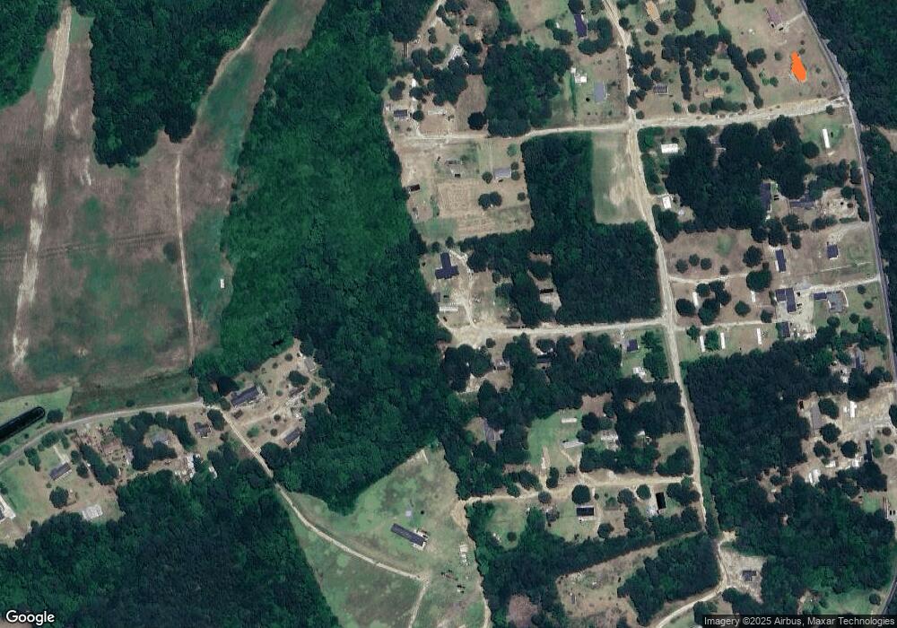
Map
Nearby Homes
- 0 Reedsford Rd
- 393 Moltonville Rd
- 2153 Rowan Rd
- Off of Reedsford Rd Unit LotWP001
- 865 Cecil Odie Rd
- 0 Moltonville Rd
- 2228 Indian Town Rd
- 500 Rowan Rd
- 2080 Indian Town Rd
- N11 0 1 Sr 1004
- 1206 Southwest Blvd
- 1604 Timberlake Dr
- 115 Hunters Walk Ln
- 72 Miry Creek Ln
- 101 Sand Trap Ln
- 145 Eagle Point Ln
- 1116 Phillips St
- 105 W Faison Ave
- 112 Martin Luther King Junior Blvd
- 110 Bermuda Cir