142 Deer Run Wading River, NY 11792
Estimated Value: $846,000 - $941,000
3
Beds
3
Baths
2,582
Sq Ft
$343/Sq Ft
Est. Value
About This Home
This home is located at 142 Deer Run, Wading River, NY 11792 and is currently estimated at $884,340, approximately $342 per square foot. 142 Deer Run is a home located in Suffolk County with nearby schools including Pulaski Street Intermediate School, Riverhead Middle School, and Riverhead Senior High School.
Ownership History
Date
Name
Owned For
Owner Type
Purchase Details
Closed on
Jun 2, 2021
Sold by
Messina Kenneth A and Messina Kathleen M
Bought by
Kenneth A Messina Irt
Current Estimated Value
Purchase Details
Closed on
Apr 8, 1998
Sold by
Wading River Lp
Bought by
Messina Kenneth A and Messina Kathleen M
Home Financials for this Owner
Home Financials are based on the most recent Mortgage that was taken out on this home.
Original Mortgage
$170,000
Interest Rate
7.11%
Mortgage Type
FHA
Create a Home Valuation Report for This Property
The Home Valuation Report is an in-depth analysis detailing your home's value as well as a comparison with similar homes in the area
Home Values in the Area
Average Home Value in this Area
Purchase History
| Date | Buyer | Sale Price | Title Company |
|---|---|---|---|
| Kenneth A Messina Irt | -- | None Available | |
| Kenneth A Messina Irt | -- | None Available | |
| Messina Kenneth A | $224,000 | Stewart Title Insurance Co | |
| Messina Kenneth A | $224,000 | Stewart Title Insurance Co |
Source: Public Records
Mortgage History
| Date | Status | Borrower | Loan Amount |
|---|---|---|---|
| Previous Owner | Messina Kenneth A | $170,000 |
Source: Public Records
Tax History
| Year | Tax Paid | Tax Assessment Tax Assessment Total Assessment is a certain percentage of the fair market value that is determined by local assessors to be the total taxable value of land and additions on the property. | Land | Improvement |
|---|---|---|---|---|
| 2024 | $10,552 | $71,512 | $14,300 | $57,212 |
| 2023 | $10,552 | $71,512 | $14,300 | $57,212 |
| 2022 | $10,730 | $71,512 | $14,300 | $57,212 |
| 2021 | $10,730 | $71,512 | $14,300 | $57,212 |
| 2020 | $10,965 | $71,512 | $14,300 | $57,212 |
| 2019 | $10,965 | $0 | $0 | $0 |
| 2018 | -- | $71,512 | $14,300 | $57,212 |
| 2017 | $10,552 | $71,512 | $14,300 | $57,212 |
| 2016 | $10,085 | $71,512 | $14,300 | $57,212 |
| 2015 | -- | $71,512 | $14,300 | $57,212 |
| 2014 | -- | $71,512 | $14,300 | $57,212 |
Source: Public Records
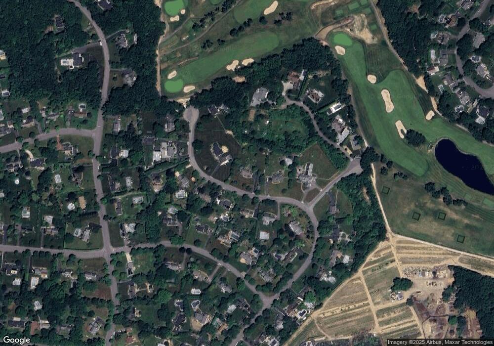
Map
Nearby Homes
- 43 Farm Rd N
- 77 Fairway Dr
- 70 Fairway Dr
- 177 Great Rock Dr
- 658 Sound Ave
- 658 Sound Ave Unit E5
- 0 Route 25A Unit ONE3585320
- 16 Rocklein Rd
- 40 Great Rock Dr
- 38 Elizabeth Dr
- 1944 Wading River Manor Rd
- 18 Howard St
- 25 Cliff Rd W
- 11 6th St
- 1 3rd St
- 75 Herod Point Rd
- 89 15th St
- 104 19th St
- 81 Beach Rd
- 193 Maple Rd
Your Personal Tour Guide
Ask me questions while you tour the home.