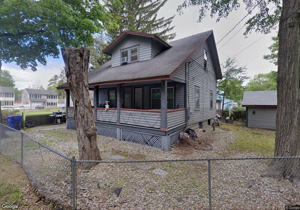
142 Devonshire Rd Springfield, MA 01109
Pine Point NeighborhoodEstimated Value: $239,000 - $281,000
2
Beds
1
Bath
1,236
Sq Ft
$207/Sq Ft
Est. Value
About This Home
This home is located at 142 Devonshire Rd, Springfield, MA 01109 and is currently estimated at $256,007, approximately $207 per square foot. 142 Devonshire Rd is a home located in Hampden County with nearby schools including Frank H. Freedman School, John J Duggan Middle, and Roger L. Putnam Vocational Technical Academy.
Ownership History
Date
Name
Owned For
Owner Type
Purchase Details
Closed on
May 18, 1999
Sold by
King Evelyn D and Rowley Seibert L
Bought by
Selden Alan J
Current Estimated Value
Home Financials for this Owner
Home Financials are based on the most recent Mortgage that was taken out on this home.
Original Mortgage
$45,125
Interest Rate
6.92%
Mortgage Type
Purchase Money Mortgage
Create a Home Valuation Report for This Property
The Home Valuation Report is an in-depth analysis detailing your home's value as well as a comparison with similar homes in the area
Home Values in the Area
Average Home Value in this Area
Purchase History
| Date | Buyer | Sale Price | Title Company |
|---|---|---|---|
| Selden Alan J | $47,500 | -- |
Source: Public Records
Mortgage History
| Date | Status | Borrower | Loan Amount |
|---|---|---|---|
| Previous Owner | Selden Alan J | $84,131 | |
| Previous Owner | Selden Alan J | $45,125 |
Source: Public Records
Tax History
| Year | Tax Paid | Tax Assessment Tax Assessment Total Assessment is a certain percentage of the fair market value that is determined by local assessors to be the total taxable value of land and additions on the property. | Land | Improvement |
|---|---|---|---|---|
| 2025 | $2,667 | $170,100 | $38,200 | $131,900 |
| 2024 | $2,610 | $162,500 | $31,900 | $130,600 |
| 2023 | $2,938 | $172,300 | $29,000 | $143,300 |
| 2022 | $2,529 | $134,400 | $27,100 | $107,300 |
| 2021 | $2,703 | $143,000 | $24,600 | $118,400 |
| 2020 | $2,531 | $129,600 | $24,600 | $105,000 |
| 2019 | $2,255 | $114,600 | $24,600 | $90,000 |
| 2018 | $2,122 | $107,800 | $24,600 | $83,200 |
| 2017 | $2,051 | $104,300 | $22,800 | $81,500 |
| 2016 | $1,791 | $91,100 | $22,800 | $68,300 |
| 2015 | $1,839 | $93,500 | $22,800 | $70,700 |
Source: Public Records
Map
Nearby Homes
- 104 Larchmont St
- 221 Laurelton St
- 98 Larchmont St
- 235 Laurelton St
- 194 Riverton Rd
- 92 Larchmont St
- 92 Larchmont St Unit 1
- 241 Laurelton St
- 195 Riverton Rd
- 211 Laurelton St
- 91 Larchmont St
- 88 Larchmont St
- 245 Laurelton St
- 182 Riverton Rd
- 226 Laurelton St
- 222 Laurelton St
- 236 Laurelton St
- 216 Laurelton St
- 82 Larchmont St
- 199 Laurelton St
Your Personal Tour Guide
Ask me questions while you tour the home.