Estimated Value: $264,000 - $369,000
2
Beds
2
Baths
1,258
Sq Ft
$247/Sq Ft
Est. Value
About This Home
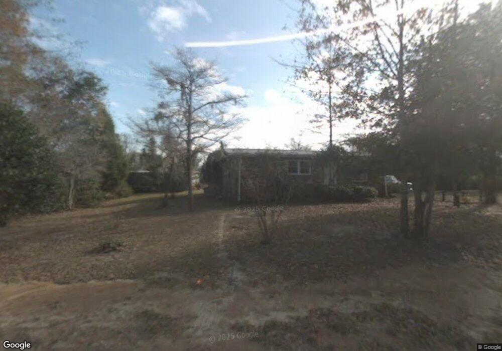
This home is located at 142 Eagle Point Rd, Cross, SC 29436 and is currently estimated at $310,437, approximately $246 per square foot. 142 Eagle Point Rd is a home located in Berkeley County with nearby schools including Cross Elementary School and Cross High School.
Ownership History
Date
Name
Owned For
Owner Type
Purchase Details
Closed on
Feb 19, 2026
Sold by
Powell Karrie Susan
Bought by
Hayes Jonathan Russell and Hayes Jonathon Russell
Current Estimated Value
Purchase Details
Closed on
May 23, 2022
Sold by
Patrick Lott Joseph
Bought by
Powell Karrie Susan
Purchase Details
Closed on
Nov 24, 2020
Sold by
Lott Dolores Lowree and Reuter Dolores L
Bought by
Lott Joseph Patrick and Powell Karrie Powell
Purchase Details
Closed on
Oct 12, 2020
Sold by
Lott Dolores Lowree
Bought by
Lott Joseph Patrick and Powell Karrie Susan
Purchase Details
Closed on
Jan 9, 2020
Sold by
Hayes Jonathon Russell and Hayes John David
Bought by
Hayes John David and Hayes Jonathon Russell
Purchase Details
Closed on
Jan 7, 2004
Sold by
Reuter Delores L and Hayes Victor L
Bought by
Reuter Delores L and Hayes Victor L
Create a Home Valuation Report for This Property
The Home Valuation Report is an in-depth analysis detailing your home's value as well as a comparison with similar homes in the area
Home Values in the Area
Average Home Value in this Area
Purchase History
| Date | Buyer | Sale Price | Title Company |
|---|---|---|---|
| Hayes Jonathan Russell | $70,000 | None Listed On Document | |
| Powell Karrie Susan | -- | None Listed On Document | |
| Lott Joseph Patrick | -- | None Available | |
| Lott Joseph Patrick | -- | None Available | |
| Hayes John David | -- | None Available | |
| Hates John David | -- | None Available | |
| Reuter Delores L | -- | -- |
Source: Public Records
Tax History
| Year | Tax Paid | Tax Assessment Tax Assessment Total Assessment is a certain percentage of the fair market value that is determined by local assessors to be the total taxable value of land and additions on the property. | Land | Improvement |
|---|---|---|---|---|
| 2025 | $3,122 | $204,585 | $114,935 | $89,650 |
| 2024 | $3,078 | $12,275 | $6,896 | $5,379 |
| 2023 | $3,078 | $12,275 | $6,896 | $5,379 |
| 2022 | $2,905 | $10,674 | $7,056 | $3,618 |
| 2021 | $2,928 | $5,400 | $4,232 | $1,167 |
| 2020 | $702 | $5,399 | $4,232 | $1,167 |
| 2019 | $698 | $5,399 | $4,232 | $1,167 |
| 2018 | $648 | $4,694 | $3,310 | $1,384 |
| 2017 | $608 | $4,694 | $3,310 | $1,384 |
| 2016 | $692 | $4,690 | $3,310 | $1,380 |
| 2015 | $644 | $4,690 | $3,310 | $1,380 |
| 2014 | $633 | $4,690 | $3,310 | $1,380 |
| 2013 | -- | $4,690 | $3,310 | $1,380 |
Source: Public Records
Map
Nearby Homes
- 0 Bolt Dr
- 184 Burbank Dr
- 0000 Ranger Dr
- 1726 Ranger Dr
- 1644 Ranger Dr
- 662 Country Pond Ln
- 280 Royalegates Ct
- 000 Ranger Dr Unit Lot F
- 000 Ranger Dr Unit Lot E
- 000 Ranger Dr
- 000 Ranger Dr Unit Lot D
- 000 Ranger Dr Unit Lot C
- 000 Ranger Dr Unit Lot B
- 000 Ranger Dr Unit Lot A
- 00 Saint Julian Dr
- 106 Airborne Way
- 108 Browns Family Place
- 0 Richardson St Unit 26001891
- 113 Gospel Ln Unit A & B
- 00 Trojan 45
- 146 Eagle Point Rd
- 136 Eagle Point Rd
- 143 Eagle Point Rd
- 147 Eagle Point Rd
- 139 Eagle Point Rd
- 132 Eagle Point Rd
- 126 Eagle Point Rd
- 122 Herring Rd
- 154 Eagle Point Rd
- 131 Eagle Point Rd
- 138 Burbank Dr
- 123 Eagle Point Rd
- 120 Eagle Point Rd
- 117 Eagle Point Rd
- 109 Herring Rd
- 1096 Longpoint Rd
- 121 Stump Hollow Ln
- 0 Longpoint Rd Unit 1302268
- 171 Eagle Point Rd
- 111 Stump Hollow Ln
Your Personal Tour Guide
Ask me questions while you tour the home.