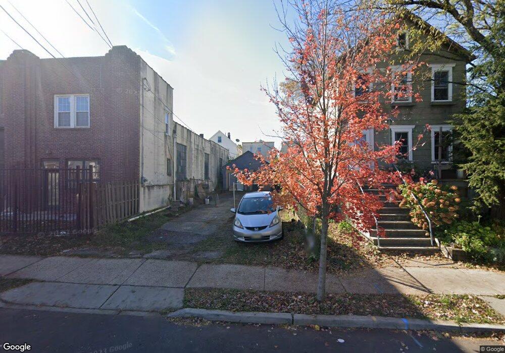
142 Handy St New Brunswick, NJ 08901
Estimated Value: $133,037 - $418,000
--
Bed
--
Bath
--
Sq Ft
2,483
Sq Ft Lot
About This Home
This home is located at 142 Handy St, New Brunswick, NJ 08901 and is currently estimated at $275,519. 142 Handy St is a home located in Middlesex County with nearby schools including New Brunswick High School, Central Jersey College Prep Charter School, and St. Mary of Mount Virgin School.
Ownership History
Date
Name
Owned For
Owner Type
Purchase Details
Closed on
Oct 16, 2020
Sold by
Baksh Associates Llc
Bought by
Torres Refeal D
Current Estimated Value
Purchase Details
Closed on
Dec 31, 2015
Sold by
Brunscor Realty Inc
Bought by
Balcsh Associates Llc
Purchase Details
Closed on
Aug 13, 2014
Sold by
Scott Mildrd S
Bought by
Brunscor Realty Inc
Purchase Details
Closed on
Mar 15, 2001
Sold by
Sciortino Angelina
Bought by
Mitchell Donald
Create a Home Valuation Report for This Property
The Home Valuation Report is an in-depth analysis detailing your home's value as well as a comparison with similar homes in the area
Home Values in the Area
Average Home Value in this Area
Purchase History
| Date | Buyer | Sale Price | Title Company |
|---|---|---|---|
| Torres Refeal D | $30,000 | Nobel Title Agency Inc | |
| Balcsh Associates Llc | $25,000 | None Available | |
| Brunscor Realty Inc | $100 | -- | |
| Mitchell Donald | $25,000 | -- |
Source: Public Records
Tax History Compared to Growth
Tax History
| Year | Tax Paid | Tax Assessment Tax Assessment Total Assessment is a certain percentage of the fair market value that is determined by local assessors to be the total taxable value of land and additions on the property. | Land | Improvement |
|---|---|---|---|---|
| 2025 | $1,380 | $52,700 | $46,500 | $6,200 |
| 2024 | $1,340 | $52,700 | $46,500 | $6,200 |
| 2023 | $1,340 | $52,700 | $46,500 | $6,200 |
| 2022 | $1,312 | $52,700 | $46,500 | $6,200 |
| 2021 | $970 | $52,700 | $46,500 | $6,200 |
| 2020 | $1,302 | $52,700 | $46,500 | $6,200 |
| 2019 | $1,277 | $52,700 | $46,500 | $6,200 |
| 2018 | $1,248 | $52,700 | $46,500 | $6,200 |
| 2017 | $1,198 | $52,700 | $46,500 | $6,200 |
| 2016 | $1,525 | $26,000 | $22,500 | $3,500 |
| 2015 | $1,489 | $26,000 | $22,500 | $3,500 |
| 2014 | $1,462 | $26,000 | $22,500 | $3,500 |
Source: Public Records
Map
Nearby Homes
- 122A Remsen Ave Unit A
- 122B Remsen Ave Unit A
- 128 Remsen Ave Unit A
- 128A Remsen Ave
- 186 Townsend St
- 216 Handy St
- 34 Lee Ave
- 168 Redmond St
- 163 Livingston Ave
- 72 Comstock St
- 214 Redmond St
- 68 Welton St
- 74 Welton St
- 87 Paul Robeson Blvd
- 158 Lee Ave
- 49 Comstock St
- 73 Carman St
- 81 Redmond St
- 264 Seaman St
- 267 Handy St