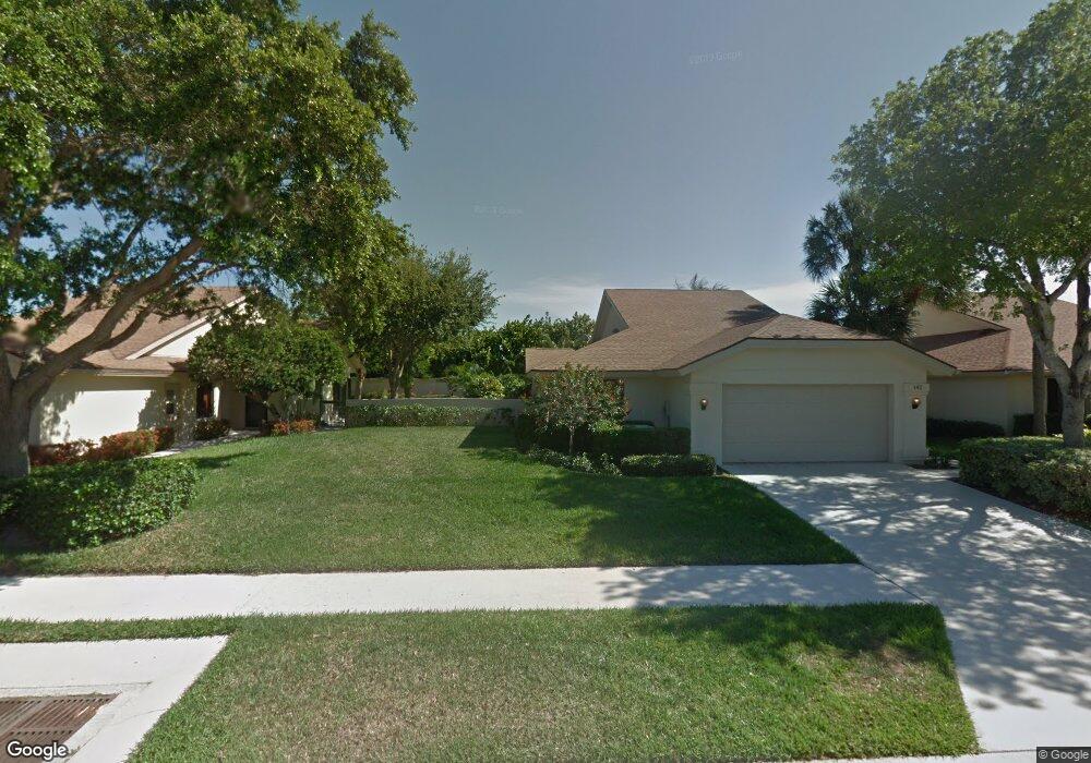
142 Harbourside Cir Jupiter, FL 33477
The Bluffs NeighborhoodEstimated Value: $993,000 - $1,261,000
About This Home
This home is located at 142 Harbourside Cir, Jupiter, FL 33477 and is currently estimated at $1,129,466, approximately $597 per square foot. 142 Harbourside Cir is a home located in Palm Beach County with nearby schools including William T. Dwyer High School, Lighthouse Elementary School, and Beacon Cove Intermediate School.
Ownership History
We collect this data history from publicly available records. To have your information removed, we recommend requesting removal directly through your county’s website.
Purchase Details
Purchase Details
Purchase Details
Purchase Details
Home Financials for this Owner
Home Financials are based on the most recent Mortgage that was taken out on this home.Purchase Details
Home Financials for this Owner
Home Financials are based on the most recent Mortgage that was taken out on this home.Home Values in the Area
Average Home Value in this Area
Purchase History
We collect this data history from publicly available records. To have your information removed, we recommend requesting removal directly through your county’s website.
| Date | Buyer | Sale Price | Title Company |
|---|---|---|---|
| -- | None Listed On Document | ||
| -- | None Listed On Document | ||
| -- | -- | ||
| -- | None Available | ||
| -- | Snetsinger David | ||
| $235,000 | -- | ||
| $177,000 | -- |
Mortgage History
We collect this data history from publicly available records. To have your information removed, we recommend requesting removal directly through your county’s website.
| Date | Status | Borrower | Loan Amount |
|---|---|---|---|
| Previous Owner | $23,000 | ||
| Previous Owner | $188,000 | ||
| Previous Owner | $132,700 |
Tax History
We collect this data history from publicly available records. To have your information removed, we recommend requesting removal directly through your county’s website.
| Year | Tax Paid | Tax Assessment Tax Assessment Total Assessment is a certain percentage of the fair market value that is determined by local assessors to be the total taxable value of land and additions on the property. | Land | Improvement |
|---|---|---|---|---|
| 2025 | $9,439 | $591,934 | -- | -- |
| 2024 | $9,439 | $584,079 | -- | -- |
| 2023 | $5,324 | $336,800 | $0 | $0 |
| 2022 | $5,318 | $326,990 | $0 | $0 |
| 2021 | $5,278 | $317,466 | $0 | $0 |
| 2020 | $5,273 | $313,083 | $0 | $0 |
| 2019 | $5,210 | $306,044 | $0 | $0 |
| 2018 | $4,953 | $300,338 | $0 | $0 |
| 2017 | $4,940 | $294,161 | $0 | $0 |
| 2016 | $4,951 | $288,111 | $0 | $0 |
| 2015 | $5,074 | $286,108 | $0 | $0 |
| 2014 | $5,144 | $283,837 | $0 | $0 |
Map
- 137 Harbourside Cir
- 125 Harbourside Cir
- 154 Sandbar Dr
- 1601 Marina Isle Way Unit 1010
- 1601 Marina Isle Way Unit 1060
- 1601 Marina Isle Way Unit 5050
- 1701 Marina Isle Way Unit 2020
- 1701 Marina Isle Way Unit 3010
- 1701 Marina Isle Way Unit 1030
- 1501 Marina Isle Way Unit 501
- 109 Harbourside Cir
- 2601 Marina Isle Way Unit 1050
- 1901 Marina Isle Way Unit 3040
- 1901 Marina Isle Way Unit 3020
- 2501 Marina Isle Way Unit 2030
- 2501 Marina Isle Way Unit 1040
- 1320 Tidal Pointe Blvd Unit A1
- 1320 Tidal Pointe Blvd Unit A2
- 601 Seafarer Cir Unit 1010
- 601 Seafarer Cir Unit 5040
- 140 Harbourside Cir
- 138 Harbourside Cir
- 136 Harbourside Cir
- 144 Harbourside Cir
- 134 Harbourside Cir
- 141 Harbourside Cir
- 139 Harbourside Cir
- 143 Harbourside Cir
- 145 Harbourside Cir
- 132 Sandbar Dr
- 147 Harbourside Cir
- 135 Harbourside Cir
- 134 Sandbar Dr
- 2628 Marcinski Rd Unit DOWNSTAIRS
- 2628 Marcinski Rd Unit UPSTAIRS
- 2628 Marcinski Rd
- 149 Harbourside Cir
- 2618 Marcinski Rd
- 108 Inner Harbour Way
- 106 Inner Harbour Way
Ask me questions while you tour the home.