Estimated Value: $590,000 - $856,000
3
Beds
2
Baths
2,112
Sq Ft
$316/Sq Ft
Est. Value
About This Home
This home is located at 142 Harms Rd, Ethel, WA 98542 and is currently estimated at $667,983, approximately $316 per square foot. 142 Harms Rd is a home located in Lewis County with nearby schools including Onalaska Elementary School and Onalaska High School.
Ownership History
Date
Name
Owned For
Owner Type
Purchase Details
Closed on
Oct 12, 2021
Sold by
Roop Marie and Shankle Marie Kathryn
Bought by
Shankle Family Llc
Current Estimated Value
Purchase Details
Closed on
Mar 8, 2012
Sold by
Federal National Mortgage Association
Bought by
Roop Marie
Home Financials for this Owner
Home Financials are based on the most recent Mortgage that was taken out on this home.
Original Mortgage
$215,000
Interest Rate
3.92%
Mortgage Type
VA
Purchase Details
Closed on
Mar 15, 2011
Sold by
Herron David and Herron Michelle
Bought by
Federal National Mortgage Association
Purchase Details
Closed on
Nov 12, 2003
Sold by
Herron David and Herron Michelle
Bought by
Herron David and Herron Michelle
Home Financials for this Owner
Home Financials are based on the most recent Mortgage that was taken out on this home.
Original Mortgage
$276,250
Interest Rate
5.99%
Mortgage Type
Adjustable Rate Mortgage/ARM
Create a Home Valuation Report for This Property
The Home Valuation Report is an in-depth analysis detailing your home's value as well as a comparison with similar homes in the area
Home Values in the Area
Average Home Value in this Area
Purchase History
| Date | Buyer | Sale Price | Title Company |
|---|---|---|---|
| Shankle Family Llc | -- | None Available | |
| Roop Marie | $215,000 | Lewis County Title | |
| Federal National Mortgage Association | $245,416 | Lewis County Title | |
| Herron David | -- | None Available |
Source: Public Records
Mortgage History
| Date | Status | Borrower | Loan Amount |
|---|---|---|---|
| Previous Owner | Roop Marie | $215,000 | |
| Previous Owner | Herron David | $276,250 |
Source: Public Records
Tax History Compared to Growth
Tax History
| Year | Tax Paid | Tax Assessment Tax Assessment Total Assessment is a certain percentage of the fair market value that is determined by local assessors to be the total taxable value of land and additions on the property. | Land | Improvement |
|---|---|---|---|---|
| 2024 | $3,502 | $554,600 | $141,700 | $412,900 |
| 2023 | $3,479 | $531,000 | $104,400 | $426,600 |
| 2022 | $3,060 | $400,600 | $82,800 | $317,800 |
| 2021 | $3,032 | $400,600 | $82,800 | $317,800 |
| 2020 | $3,056 | $352,400 | $68,900 | $283,500 |
| 2019 | $2,724 | $332,400 | $68,900 | $263,500 |
| 2018 | $2,910 | $291,600 | $60,500 | $231,100 |
| 2017 | $2,670 | $282,700 | $59,200 | $223,500 |
| 2016 | $2,522 | $259,600 | $56,400 | $203,200 |
| 2015 | $2,379 | $238,400 | $53,700 | $184,700 |
| 2013 | $2,379 | $237,600 | $53,700 | $183,900 |
Source: Public Records
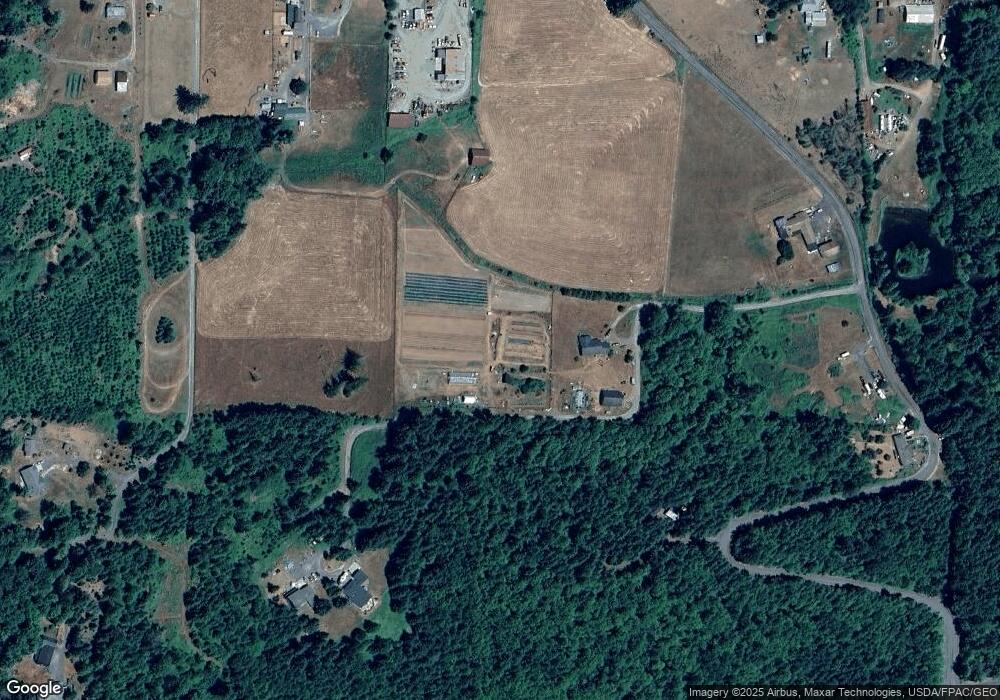
Map
Nearby Homes
- 1956 US Highway 12
- 1950 U S 12
- 171 Barrier Dr
- 0 Spencer Rd Unit 656997086
- 109 View Point Dr
- 152 Fuller Rd
- 124 Gilbert Rd S
- 0 Shanklin Rd Unit NWM2414157
- 1654 Spencer Rd
- 2484 Spencer Rd
- 223 Oxbow Lake Ln
- 231 Oxbow Lake Ln
- 182-51 Burchett Rd
- 223 Oxbow Lake Ln
- 0 Gore Rd Unit NWM2370858
- 2833a U S 12 Unit A
- 0 View Ridge Rd Unit NWM2434545
- 126 Burchett Rd
- 0 Burchett Rd Unit NWM2322360
- 0 State Hwy 12
- 2138 Us Highway 12
- 2150 U S 12
- 2150 Us Highway 12
- 2160 Us Highway 12
- 162 Harms Rd
- 134 Harms Rd
- 2128 Us Highway 12
- 2134 Us Highway 12
- 2094 Us Highway 12
- 249 Harms Rd
- 0 Kennedy Rd
- 2200 Us Highway 12
- 2210 Us Highway 12
- 2086 Us Highway 12
- 2201 Us Highway 12
- 2084 Us Highway 12
- 2105 Us Highway 12
- 2226 Us Highway 12
- 2081 Us Highway 12
- 2230 Us Highway 12