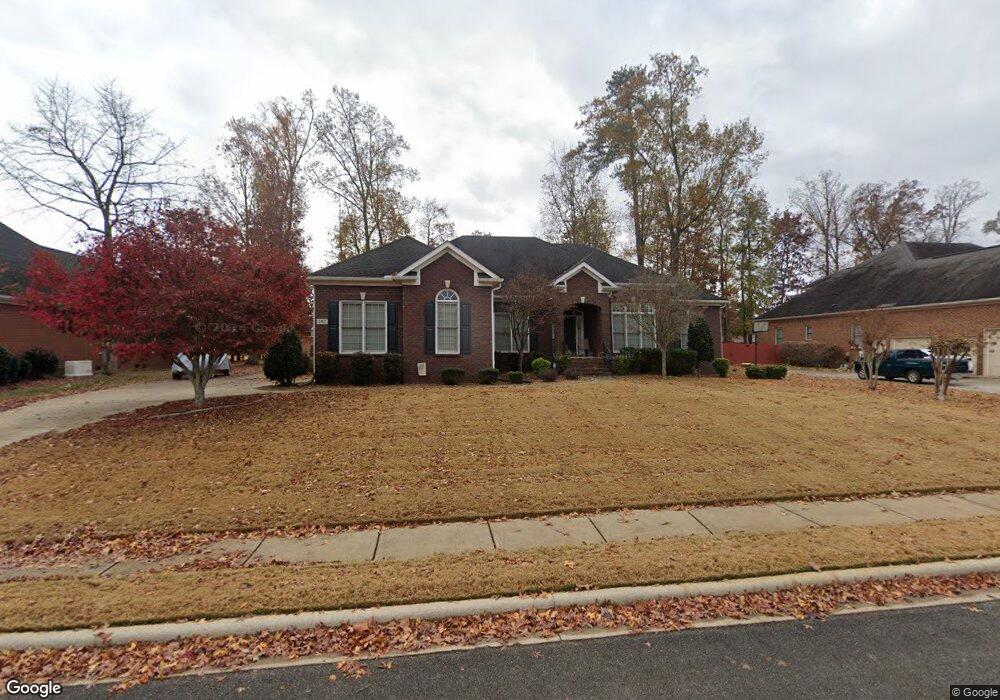
142 Holbrook Dr Huntsville, AL 35806
Research Park NeighborhoodEstimated Value: $415,261 - $521,000
--
Bed
1
Bath
2,568
Sq Ft
$178/Sq Ft
Est. Value
About This Home
This home is located at 142 Holbrook Dr, Huntsville, AL 35806 and is currently estimated at $456,565, approximately $177 per square foot. 142 Holbrook Dr is a home with nearby schools including Monrovia Elementary School, Monrovia Middle School, and Sparkman High School.
Ownership History
Date
Name
Owned For
Owner Type
Purchase Details
Closed on
Mar 31, 2006
Sold by
Susan Bryan O and Susan Bryan N
Bought by
Shrider Daniel L and Shrider Sherri Nicole
Current Estimated Value
Home Financials for this Owner
Home Financials are based on the most recent Mortgage that was taken out on this home.
Original Mortgage
$109,450
Outstanding Balance
$63,837
Interest Rate
6.62%
Mortgage Type
Future Advance Clause Open End Mortgage
Estimated Equity
$392,728
Create a Home Valuation Report for This Property
The Home Valuation Report is an in-depth analysis detailing your home's value as well as a comparison with similar homes in the area
Home Values in the Area
Average Home Value in this Area
Purchase History
| Date | Buyer | Sale Price | Title Company |
|---|---|---|---|
| Shrider Daniel L | -- | -- |
Source: Public Records
Mortgage History
| Date | Status | Borrower | Loan Amount |
|---|---|---|---|
| Open | Shrider Daniel L | $109,450 |
Source: Public Records
Tax History Compared to Growth
Tax History
| Year | Tax Paid | Tax Assessment Tax Assessment Total Assessment is a certain percentage of the fair market value that is determined by local assessors to be the total taxable value of land and additions on the property. | Land | Improvement |
|---|---|---|---|---|
| 2024 | $1,208 | $34,820 | $5,000 | $29,820 |
| 2023 | $1,169 | $33,760 | $5,000 | $28,760 |
| 2022 | $1,047 | $30,420 | $5,000 | $25,420 |
| 2021 | $982 | $28,620 | $5,000 | $23,620 |
| 2020 | $924 | $27,030 | $5,000 | $22,030 |
| 2019 | $887 | $26,040 | $5,000 | $21,040 |
| 2018 | $827 | $24,380 | $0 | $0 |
| 2017 | $827 | $24,380 | $0 | $0 |
| 2016 | $827 | $24,380 | $0 | $0 |
| 2015 | $827 | $24,380 | $0 | $0 |
| 2014 | $872 | $25,620 | $0 | $0 |
Source: Public Records
Map
Nearby Homes
- 138 Holbrook Dr
- 128 Holbrook Dr
- 102 Kretzer Ct
- 122 Kingswood Dr
- 140 Lovvorn Ln NW
- 117 Kretzer Ct
- 194 Kingswood Dr
- 108 Holbrook Dr
- 132 Vaughnwood Trace
- 122 Navaho Trail
- 103 Sherwin Ave
- 612 Indian Creek Rd NW
- 120 Preswick Place NW
- 104 Bishop Bend Dr
- 108 Quail Hollow Rd NW
- 180 Bishop Rd NW
- 160 Bishop Rd NW
- 1093 Binding Branch NW
- 112 Bishop Bend Dr
- 108 Bishop Bend Dr
- 140 Holbrook Dr
- 144 Holbrook Dr
- 107 Heatherspring Ct
- 143 Holbrook Dr
- 145 Holbrook Dr
- 146 Holbrook Dr
- 141 Holbrook Dr
- 147 Holbrook Dr
- 105 Heatherspring Ct
- 139 Holbrook Dr
- 136 Holbrook Dr
- 104 Heatherspring Ct
- 148 Holbrook Dr
- 149 Holbrook Dr
- 144 Kingswood Dr
- 103 Heatherspring Ct
- 142 Kingswood Dr
- 137 Holbrook Dr
- 102 Heatherspring Ct
- 146 Kingswood Dr