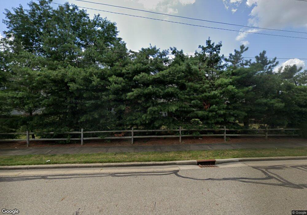
142 Holl Rd NE Unit 142A North Canton, OH 44720
Estimated Value: $152,000 - $175,000
2
Beds
2
Baths
1,120
Sq Ft
$148/Sq Ft
Est. Value
About This Home
This home is located at 142 Holl Rd NE Unit 142A, North Canton, OH 44720 and is currently estimated at $166,021, approximately $148 per square foot. 142 Holl Rd NE Unit 142A is a home located in Stark County with nearby schools including North Canton Middle School, Hoover High School, and St Paul School.
Ownership History
Date
Name
Owned For
Owner Type
Purchase Details
Closed on
Nov 12, 2018
Sold by
Dawson John M and Dawson Carol
Bought by
Cosma Tyler J and Dawson Cosma Geri M
Current Estimated Value
Home Financials for this Owner
Home Financials are based on the most recent Mortgage that was taken out on this home.
Original Mortgage
$35,000
Outstanding Balance
$30,713
Interest Rate
4.7%
Mortgage Type
New Conventional
Estimated Equity
$135,308
Purchase Details
Closed on
Aug 28, 2009
Sold by
Lycakis Nancy J and Lycakis Nicholas
Bought by
Dawson John M and Dawson Carol
Home Financials for this Owner
Home Financials are based on the most recent Mortgage that was taken out on this home.
Original Mortgage
$76,500
Interest Rate
5.21%
Mortgage Type
New Conventional
Purchase Details
Closed on
May 16, 1990
Create a Home Valuation Report for This Property
The Home Valuation Report is an in-depth analysis detailing your home's value as well as a comparison with similar homes in the area
Home Values in the Area
Average Home Value in this Area
Purchase History
| Date | Buyer | Sale Price | Title Company |
|---|---|---|---|
| Cosma Tyler J | $91,000 | Heritage Union Title Co Ltd | |
| Dawson John M | $102,000 | Attorney | |
| -- | $69,900 | -- |
Source: Public Records
Mortgage History
| Date | Status | Borrower | Loan Amount |
|---|---|---|---|
| Open | Cosma Tyler J | $35,000 | |
| Previous Owner | Dawson John M | $76,500 |
Source: Public Records
Tax History Compared to Growth
Tax History
| Year | Tax Paid | Tax Assessment Tax Assessment Total Assessment is a certain percentage of the fair market value that is determined by local assessors to be the total taxable value of land and additions on the property. | Land | Improvement |
|---|---|---|---|---|
| 2025 | -- | $43,020 | $7,560 | $35,460 |
| 2024 | -- | $43,020 | $7,560 | $35,460 |
| 2023 | $2,040 | $38,120 | $7,600 | $30,520 |
| 2022 | $1,961 | $38,120 | $7,600 | $30,520 |
| 2021 | $1,755 | $35,350 | $6,930 | $28,420 |
| 2020 | $1,947 | $35,350 | $6,930 | $28,420 |
| 2019 | $1,824 | $35,350 | $6,930 | $28,420 |
| 2018 | $1,944 | $35,350 | $6,930 | $28,420 |
| 2017 | $1,589 | $30,320 | $6,900 | $23,420 |
| 2016 | $1,595 | $30,320 | $6,900 | $23,420 |
| 2015 | $1,601 | $30,320 | $6,900 | $23,420 |
| 2014 | $1,531 | $27,060 | $6,090 | $20,970 |
| 2013 | $756 | $26,600 | $6,090 | $20,510 |
Source: Public Records
Map
Nearby Homes
- 807 N Main St
- 1031 Park Ave NE
- 1060 Park Ave NE
- 1263 Los Angeles Blvd NW
- 404 7th St NW
- 2707 Hyacinth Dr NW
- 455 Royer Ave NW
- 945 Royal Oak Ave NE
- 717 7th St NE
- 742 Portage St NW
- 870 Honeysuckle Cir NE
- 303 W Park Rd NW
- 825 6th St NE
- 406 Hower St NE
- 2684 Fordham Cir NW
- 201 Parkview Ave NW
- 360 Woodside Ave NE
- 448 Hower St NE
- 1275 Janet Ave NW
- 980 Laurel Green Dr NE
- 142 Holl Rd NE
- 142 Holl Rd NE
- 142 Holl Rd NE
- 142 Holl Rd NE Unit A
- 142 Holl Rd NE Unit B
- 142 Holl Rd NE
- 140 Holl Rd NE
- 140 Holl Rd NE Unit 140B
- 140 Holl Rd NE
- 140 Holl Rd NE
- 140 Holl Rd NE Unit B
- 140 Holl Rd NE Unit D
- 140 Holl Rd NE Unit 1A
- 140 Holl Rd NE Unit C
- 140 Holl Rd NE Unit A
- 144 Holl Rd NE
- 144 Holl Rd NE
- 144 Holl Rd NE Unit 144A
- 144 Holl Rd NE
- 144 Holl Rd NE Unit A
