142 Locust Fence Rd Saint Helena Island, SC 29920
Estimated Value: $554,368 - $629,000
1
Bed
3
Baths
2,125
Sq Ft
$274/Sq Ft
Est. Value
About This Home
This home is located at 142 Locust Fence Rd, Saint Helena Island, SC 29920 and is currently estimated at $583,092, approximately $274 per square foot. 142 Locust Fence Rd is a home located in Beaufort County with nearby schools including St. Helena Elementary School, Lady's Island Middle School, and Beaufort High School.
Ownership History
Date
Name
Owned For
Owner Type
Purchase Details
Closed on
Nov 3, 2015
Sold by
Sears Albert B and Sears Sheila D
Bought by
Sears Albert B and Sears Sheila D
Current Estimated Value
Purchase Details
Closed on
Aug 7, 2002
Sold by
Alcoa South Carolina Inc
Bought by
Sears Albert B and Sears Sheila D
Home Financials for this Owner
Home Financials are based on the most recent Mortgage that was taken out on this home.
Original Mortgage
$29,528
Interest Rate
6.31%
Mortgage Type
Purchase Money Mortgage
Create a Home Valuation Report for This Property
The Home Valuation Report is an in-depth analysis detailing your home's value as well as a comparison with similar homes in the area
Home Values in the Area
Average Home Value in this Area
Purchase History
| Date | Buyer | Sale Price | Title Company |
|---|---|---|---|
| Sears Albert B | -- | None Available | |
| Sears Albert B | $43,920 | -- |
Source: Public Records
Mortgage History
| Date | Status | Borrower | Loan Amount |
|---|---|---|---|
| Closed | Sears Albert B | $29,528 |
Source: Public Records
Tax History Compared to Growth
Tax History
| Year | Tax Paid | Tax Assessment Tax Assessment Total Assessment is a certain percentage of the fair market value that is determined by local assessors to be the total taxable value of land and additions on the property. | Land | Improvement |
|---|---|---|---|---|
| 2024 | $1,227 | $20,432 | $640 | $19,792 |
| 2023 | $1,227 | $20,432 | $640 | $19,792 |
| 2022 | $1,174 | $9,220 | $1,100 | $8,120 |
| 2021 | $1,141 | $9,220 | $1,100 | $8,120 |
| 2020 | $1,130 | $9,220 | $1,100 | $8,120 |
| 2019 | $1,104 | $9,220 | $1,100 | $8,120 |
| 2018 | $1,067 | $9,220 | $0 | $0 |
| 2017 | $1,104 | $9,450 | $0 | $0 |
| 2016 | $1,079 | $9,450 | $0 | $0 |
| 2014 | $849 | $9,450 | $0 | $0 |
Source: Public Records
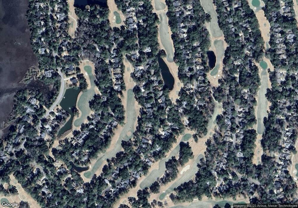
Map
Nearby Homes
- 152 Locust Fence Rd
- 58 S Boone Rd
- 161 Locust Fence Rd
- 34 S Boone Rd
- 251 Locust Fence Rd
- 117 Locust Fence Rd
- 434 Bb Sams Dr
- 338 Westbrook Rd
- 208 Locust Fence Rd
- 444 Bb Sams Dr
- 419 Bb Sams Dr
- 454 Bb Sams Dr
- 823 Island Cir W
- 1305 Rowland Dr
- 633 S Reeve Rd
- 485 Bb Sams Dr
- 700 N Reeve Rd
- 2 Doe Point
- 495 Bb Sams Dr
- 374 Dataw Dr
- 144 Locust Fence Rd
- 140 Locust Fence Rd
- 146 Locust Fence Rd
- 138 Locust Fence Rd
- 148 Locust Fence Rd
- 145 Locust Fence Rd
- 136 Locust Fence Rd
- 143 Locust Fence Rd
- 147 Locust Fence Rd
- 150 Locust Fence Rd
- 149 Locust Fence Rd
- 134 Locust Fence Rd
- 304 Westbrook Rd
- 151 Locust Fence Rd
- 132 Locust Fence Rd
- 153 Locust Fence Rd
- 139 Locust Fence Rd
- 135 Locust Fence Rd
- 59 S Boone Rd
- 51 S Boone Rd