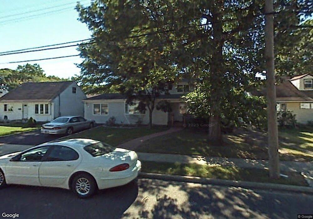
142 Maple St Massapequa Park, NY 11762
Estimated Value: $758,938 - $867,000
4
Beds
2
Baths
1,873
Sq Ft
$434/Sq Ft
Est. Value
About This Home
This home is located at 142 Maple St, Massapequa Park, NY 11762 and is currently estimated at $812,969, approximately $434 per square foot. 142 Maple St is a home located in Nassau County with nearby schools including Massapequa High School - Ames Campus, Berner Middle School, and Massapequa High School.
Ownership History
Date
Name
Owned For
Owner Type
Purchase Details
Closed on
Sep 7, 2011
Sold by
Gressler Susan and Frank J Scarpa Revocable Trust
Bought by
Dauria Joseph P and Dauria Denise M
Current Estimated Value
Home Financials for this Owner
Home Financials are based on the most recent Mortgage that was taken out on this home.
Original Mortgage
$352,800
Outstanding Balance
$242,402
Interest Rate
4.33%
Mortgage Type
Purchase Money Mortgage
Estimated Equity
$570,567
Purchase Details
Closed on
Sep 16, 2006
Sold by
Scarpa Frank
Create a Home Valuation Report for This Property
The Home Valuation Report is an in-depth analysis detailing your home's value as well as a comparison with similar homes in the area
Home Values in the Area
Average Home Value in this Area
Purchase History
| Date | Buyer | Sale Price | Title Company |
|---|---|---|---|
| Dauria Joseph P | $392,000 | -- | |
| -- | -- | -- |
Source: Public Records
Mortgage History
| Date | Status | Borrower | Loan Amount |
|---|---|---|---|
| Open | Dauria Joseph P | $352,800 |
Source: Public Records
Tax History Compared to Growth
Tax History
| Year | Tax Paid | Tax Assessment Tax Assessment Total Assessment is a certain percentage of the fair market value that is determined by local assessors to be the total taxable value of land and additions on the property. | Land | Improvement |
|---|---|---|---|---|
| 2025 | $12,133 | $453 | $164 | $289 |
| 2024 | $3,099 | $472 | $171 | $301 |
| 2023 | $9,951 | $491 | $178 | $313 |
| 2022 | $9,951 | $491 | $178 | $313 |
| 2021 | $8,963 | $504 | $182 | $322 |
| 2020 | $8,688 | $549 | $548 | $1 |
| 2019 | $7,822 | $589 | $581 | $8 |
| 2018 | $7,748 | $628 | $0 | $0 |
| 2017 | $5,257 | $667 | $585 | $82 |
| 2016 | $7,806 | $706 | $445 | $261 |
| 2015 | $2,515 | $745 | $470 | $275 |
| 2014 | $2,515 | $745 | $470 | $275 |
| 2013 | $2,973 | $941 | $619 | $322 |
Source: Public Records
Map
Nearby Homes
- 251 Roosevelt Ave
- 201 Cypress St
- 208 Oak St
- 204 Broadway
- 1130 Lakeshore Dr
- 366 Broadway
- 168 von Huenfeld St
- 262 New Hampshire Ave
- 72 Koehl St
- 118 Broadway
- 312 Ocean Ave
- 395 Pacific St
- 174 N Nassau Ave
- 166 N Oak St
- 168A N Oak St
- 89 3rd Ave
- 142 N Chestnut St
- 229 Philadelphia Ave
- 136 Fulton St
- 94 Charles Ave