Estimated Value: $277,000 - $341,000
4
Beds
2
Baths
2,088
Sq Ft
$149/Sq Ft
Est. Value
About This Home
This home is located at 142 Mcclung Rd, Hiram, GA 30141 and is currently estimated at $311,651, approximately $149 per square foot. 142 Mcclung Rd is a home located in Paulding County with nearby schools including Sam D. Panter Elementary School, J. A. Dobbins Middle School, and Hiram High School.
Ownership History
Date
Name
Owned For
Owner Type
Purchase Details
Closed on
Mar 4, 2024
Sold by
Mcclung Ronald Joseph
Bought by
Brooks Carol and Brooks Stephen W
Current Estimated Value
Purchase Details
Closed on
May 24, 2022
Sold by
Keaton Randall W
Bought by
Brooks Stephen W and Brooks Carol L
Purchase Details
Closed on
Aug 27, 2018
Sold by
Chastain Theresa Keaton
Bought by
Brooks Stephen W
Home Financials for this Owner
Home Financials are based on the most recent Mortgage that was taken out on this home.
Original Mortgage
$211,500
Interest Rate
4.5%
Purchase Details
Closed on
Nov 7, 2016
Sold by
Randall W
Bought by
Brooks Stephen W
Purchase Details
Closed on
May 1, 1984
Sold by
Mcclung Rufus and Mcclung Betty
Bought by
Keaton Randall W and Keaton Brenda
Create a Home Valuation Report for This Property
The Home Valuation Report is an in-depth analysis detailing your home's value as well as a comparison with similar homes in the area
Home Values in the Area
Average Home Value in this Area
Purchase History
| Date | Buyer | Sale Price | Title Company |
|---|---|---|---|
| Brooks Carol | $80,000 | -- | |
| Brooks Stephen W | $230,700 | -- | |
| Brooks Stephen W | -- | -- | |
| Brooks Stephen W | $12,205 | -- | |
| Brooks Stephen W | $52,000 | -- | |
| Keaton Randall W | -- | -- |
Source: Public Records
Mortgage History
| Date | Status | Borrower | Loan Amount |
|---|---|---|---|
| Previous Owner | Brooks Stephen W | $211,500 |
Source: Public Records
Tax History Compared to Growth
Tax History
| Year | Tax Paid | Tax Assessment Tax Assessment Total Assessment is a certain percentage of the fair market value that is determined by local assessors to be the total taxable value of land and additions on the property. | Land | Improvement |
|---|---|---|---|---|
| 2024 | $2,873 | $115,512 | $4,920 | $110,592 |
| 2023 | $2,406 | $134,124 | $27,080 | $107,044 |
| 2022 | $185 | $124,004 | $20,880 | $103,124 |
| 2021 | $2,868 | $96,580 | $16,320 | $80,260 |
| 2020 | $2,619 | $88,192 | $15,400 | $72,792 |
| 2019 | $2,388 | $79,244 | $16,320 | $62,924 |
| 2018 | $0 | $74,660 | $14,720 | $59,940 |
| 2017 | $0 | $70,660 | $16,800 | $53,860 |
| 2016 | $49 | $77,604 | $32,240 | $45,364 |
| 2015 | $81 | $74,292 | $31,680 | $42,612 |
| 2014 | -- | $68,020 | $29,080 | $38,940 |
Source: Public Records
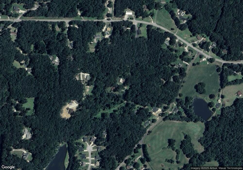
Map
Nearby Homes
- 1707 Hiram Sudie Rd
- 426 Old Sudie Rd
- 129 Fawn Trail
- 51 Old Teal Rd
- 122 Prince Way
- 242 Barrington Dr
- 124 Lynn Dr
- 237 Settlers Mill Run
- 149 Barrington Ln
- 1379 Rich Davis Rd
- 142 Wellspring Point
- 552 Rich Davis Rd
- 14 Woodmill Ct Unit 2
- 3124 Hiram Sudie Rd
- 122 Hale Mountain Ct
- 83 Shipp Cir
- 520 White Pines Dr
- 138 Mcclung Rd
- 140 Mcclung Rd
- 108 Eagles Nest Dr
- 114 Eagles Nest Dr
- 2020 Hiram Sudie Rd
- 0 Sinyard Cir
- 0 Sinyard Cir Unit 7104377
- 0 Sinyard Cir Unit 20067374
- 0 Sinyard Cir Unit 7449651
- 0 Sinyard Cir Unit 8027001
- 0 Sinyard Cir Unit 8454243
- 0 Sinyard Cir Unit 8147055
- 0 Sinyard Cir Unit 8016523
- 0 Sinyard Cir Unit 3281560
- 0 Sinyard Cir Unit 8299644
- 0 Sinyard Cir Unit 3258101
- 0 Sinyard Cir Unit 3224190
- 82 Mcclung Rd
- 111 Eagles Nest Dr
- 1940 Hiram Sudie Rd