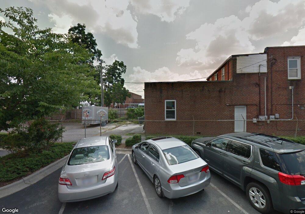
142 N Main St Kernersville, NC 27284
Downtown Kernersville NeighborhoodEstimated Value: $560,118
--
Bed
--
Bath
4,266
Sq Ft
$131/Sq Ft
Est. Value
About This Home
This home is located at 142 N Main St, Kernersville, NC 27284 and is currently estimated at $560,118, approximately $131 per square foot. 142 N Main St is a home located in Forsyth County with nearby schools including Kernersville Elementary School, Kernersville Middle, and East Forsyth High School.
Ownership History
Date
Name
Owned For
Owner Type
Purchase Details
Closed on
Aug 29, 2017
Sold by
King Arnold G
Bought by
Quinones Michael and Quinones Sherry L
Current Estimated Value
Home Financials for this Owner
Home Financials are based on the most recent Mortgage that was taken out on this home.
Original Mortgage
$225,000
Outstanding Balance
$188,193
Interest Rate
3.96%
Mortgage Type
Future Advance Clause Open End Mortgage
Estimated Equity
$371,925
Purchase Details
Closed on
Jul 15, 1997
Bought by
King
Create a Home Valuation Report for This Property
The Home Valuation Report is an in-depth analysis detailing your home's value as well as a comparison with similar homes in the area
Home Values in the Area
Average Home Value in this Area
Purchase History
| Date | Buyer | Sale Price | Title Company |
|---|---|---|---|
| Quinones Michael | $295,000 | None Available | |
| King | $74,000 | -- |
Source: Public Records
Mortgage History
| Date | Status | Borrower | Loan Amount |
|---|---|---|---|
| Open | Quinones Michael | $225,000 |
Source: Public Records
Tax History Compared to Growth
Tax History
| Year | Tax Paid | Tax Assessment Tax Assessment Total Assessment is a certain percentage of the fair market value that is determined by local assessors to be the total taxable value of land and additions on the property. | Land | Improvement |
|---|---|---|---|---|
| 2024 | $3,691 | $292,800 | $67,700 | $225,100 |
| 2023 | $3,691 | $292,800 | $67,700 | $225,100 |
| 2022 | $3,666 | $292,800 | $67,700 | $225,100 |
| 2021 | $3,858 | $0 | $0 | $0 |
| 2020 | $2,499 | $215,800 | $65,400 | $150,400 |
| 2019 | $2,517 | $184,200 | $0 | $0 |
| 2018 | $2,578 | $215,800 | $65,400 | $150,400 |
| 2016 | $1,772 | $137,196 | $63,184 | $74,012 |
| 2015 | -- | $137,196 | $63,184 | $74,012 |
| 2014 | $1,718 | $137,196 | $63,184 | $74,012 |
Source: Public Records
Map
Nearby Homes
- 124 Adams St
- 126 Adams St
- 128 Adams St
- 1838 Pheasant Trace Cir
- 1834 Pheasant Trace Cir
- 1894 Pheasant Trace Cir
- 1888 Pheasant Trace Cir
- 1896 Pheasant Trace Cir
- 419 Vance St
- 311 Salisbury St Unit 46
- 311 Salisbury St Unit 41
- 311 Salisbury St Unit 58
- 311 Salisbury St Unit 50
- 112 Baxter St
- 603 Nelson St
- 5112 Mcconnell Dr Unit 5112
- 703 Oakhurst St
- 607 Salisbury St
- 604 Salisbury St
- 104 Tilley's Grove
- 210 N Main St Unit 300
- 210 N Main St Unit 106
- 210 N Main St Unit 200
- 210 N Main St Unit 210
- 210 N Main St Unit STE 108
- 210 N Main St
- 210 N Main St Unit 114
- 210 N Main St Unit 310
- 133 N Main St
- 221 N Main St
- 115 N Main St
- 236B N Main St
- 134 N Cherry St
- 126 N Cherry St
- 134 Mallard Place
- 101 E Mountain St
- 141 N Cherry St
- 020 Fieldcrest
- 215 N Cherry St Unit N
- 110 N Cherry St
