142 N Shore Dr Limerick, ME 04048
Estimated Value: $519,000
--
Bed
--
Bath
1,052
Sq Ft
$493/Sq Ft
Est. Value
About This Home
This home is located at 142 N Shore Dr, Limerick, ME 04048 and is currently estimated at $519,000, approximately $493 per square foot. 142 N Shore Dr is a home with nearby schools including Massabesic High School.
Ownership History
Date
Name
Owned For
Owner Type
Purchase Details
Closed on
Jul 2, 2020
Sold by
Cush Wayne J and Cush Jan C
Bought by
Siciliano Michael A and Siciliano Meagan A
Current Estimated Value
Home Financials for this Owner
Home Financials are based on the most recent Mortgage that was taken out on this home.
Original Mortgage
$250,800
Outstanding Balance
$221,823
Interest Rate
3.2%
Mortgage Type
New Conventional
Estimated Equity
$297,177
Purchase Details
Closed on
Jun 2, 2017
Sold by
Cush Rt and Cush
Bought by
Cush Douglas F
Create a Home Valuation Report for This Property
The Home Valuation Report is an in-depth analysis detailing your home's value as well as a comparison with similar homes in the area
Home Values in the Area
Average Home Value in this Area
Purchase History
| Date | Buyer | Sale Price | Title Company |
|---|---|---|---|
| Siciliano Michael A | -- | None Available | |
| Siciliano Michael A | -- | None Available | |
| Siciliano Michael A | -- | None Available | |
| Cush Douglas F | -- | -- | |
| Cush Wayne J | -- | -- | |
| Cush Douglas F | -- | -- | |
| Cush Wayne J | -- | -- | |
| Cush Douglas F | -- | -- |
Source: Public Records
Mortgage History
| Date | Status | Borrower | Loan Amount |
|---|---|---|---|
| Open | Siciliano Michael A | $250,800 | |
| Closed | Siciliano Michael A | $250,800 |
Source: Public Records
Tax History Compared to Growth
Tax History
| Year | Tax Paid | Tax Assessment Tax Assessment Total Assessment is a certain percentage of the fair market value that is determined by local assessors to be the total taxable value of land and additions on the property. | Land | Improvement |
|---|---|---|---|---|
| 2025 | $4,988 | $525,034 | $358,700 | $166,334 |
| 2024 | $4,988 | $525,034 | $358,700 | $166,334 |
| 2023 | $4,462 | $293,549 | $192,225 | $101,324 |
| 2022 | $4,168 | $293,549 | $192,225 | $101,324 |
| 2021 | $3,898 | $234,839 | $153,780 | $81,059 |
| 2020 | $3,851 | $234,839 | $153,780 | $81,059 |
| 2019 | $3,699 | $234,839 | $153,780 | $81,059 |
| 2018 | $3,793 | $234,839 | $153,780 | $81,059 |
| 2017 | $3,688 | $234,167 | $153,780 | $80,387 |
| 2016 | $3,524 | $234,167 | $153,780 | $80,387 |
| 2015 | $3,419 | $234,167 | $153,780 | $80,387 |
| 2014 | $3,313 | $234,167 | $153,780 | $80,387 |
Source: Public Records
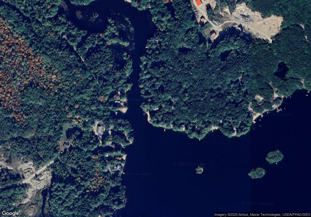
Map
Nearby Homes
- 80 Kelley Ln
- 243 Sokokis Trail N
- 71 Quarry Rd
- 148 Washington St Unit A
- 21 Quarry Rd
- 155 Quarry Rd
- 33 Maple St
- 16 Whiteley Rd
- 110 Pleasant Hill Rd
- 36 Elm St
- 91 Pleasant Hill Rd
- 48 Pleasant Hill Rd
- 27 Lynn Dr
- Lot 12 Prokey Dr
- Lot 7 Prokey Dr
- LOT# 8 Business Park Rd
- Lot# 11 Business Park Rd
- 7 Echo Ln
- 4 Deer Crossing Rd
- Lot 5 Fenderson Rd
- 134 N Shore Dr
- 21 Philpots Landing
- 128 N Shore Dr
- 59 Philpot's Landing
- 0 Philpot's Landing
- 25 Philpot's Landing
- 124 N Shore Dr
- 1 Philpots Landing
- 166 N Shore Dr
- 86 Kelley Ln
- 0 Hemlock Hill Rd
- 172 N Shore Dr
- 0 Kelley (Island)
- 90 Kelley Ln
- 00 Philpot's Landing
- 1 Kelly
- 95 N Shore Dr
- 118 N Shore Dr
- 114 N Shore Dr
- 94 Kelley Ln