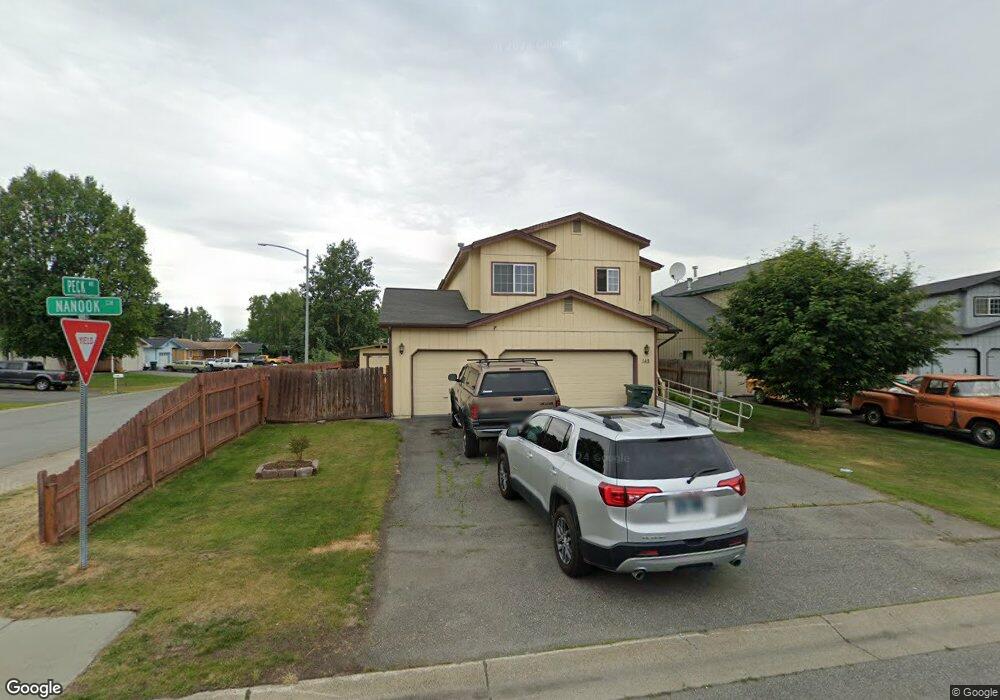
142 Nanook Cir Anchorage, AK 99504
Northeast Anchorage NeighborhoodEstimated Value: $243,000 - $527,000
4
Beds
3
Baths
2,022
Sq Ft
$216/Sq Ft
Est. Value
About This Home
This home is located at 142 Nanook Cir, Anchorage, AK 99504 and is currently estimated at $437,670, approximately $216 per square foot. 142 Nanook Cir is a home located in Anchorage Municipality with nearby schools including Creekside Park Elementary School, Nicholas J. Begich Middle School, and Bartlett High School.
Ownership History
Date
Name
Owned For
Owner Type
Purchase Details
Closed on
Jan 1, 1999
Sold by
Prestige Homes Inc
Bought by
Vaughn William H
Current Estimated Value
Home Financials for this Owner
Home Financials are based on the most recent Mortgage that was taken out on this home.
Original Mortgage
$191,500
Outstanding Balance
$44,646
Interest Rate
6.82%
Mortgage Type
New Conventional
Estimated Equity
$393,024
Create a Home Valuation Report for This Property
The Home Valuation Report is an in-depth analysis detailing your home's value as well as a comparison with similar homes in the area
Home Values in the Area
Average Home Value in this Area
Purchase History
| Date | Buyer | Sale Price | Title Company |
|---|---|---|---|
| Vaughn William H | -- | -- | |
| Vaughn William H | -- | -- |
Source: Public Records
Mortgage History
| Date | Status | Borrower | Loan Amount |
|---|---|---|---|
| Open | Vaughn William H | $191,500 | |
| Closed | Vaughn William H | $191,500 |
Source: Public Records
Tax History
| Year | Tax Paid | Tax Assessment Tax Assessment Total Assessment is a certain percentage of the fair market value that is determined by local assessors to be the total taxable value of land and additions on the property. | Land | Improvement |
|---|---|---|---|---|
| 2025 | $3,213 | $452,200 | $81,600 | $370,600 |
| 2024 | $3,213 | $424,000 | $81,600 | $342,400 |
| 2023 | $6,333 | $371,900 | $81,600 | $290,300 |
| 2022 | $2,966 | $376,100 | $81,600 | $294,500 |
| 2021 | $6,051 | $335,800 | $81,600 | $254,200 |
| 2020 | $2,020 | $320,000 | $81,600 | $238,400 |
| 2019 | $1,883 | $315,100 | $81,600 | $233,500 |
| 2018 | $1,725 | $305,200 | $81,600 | $223,600 |
| 2017 | $2,098 | $304,000 | $81,600 | $222,400 |
| 2016 | $1,946 | $326,600 | $78,300 | $248,300 |
| 2015 | $1,946 | $302,500 | $78,300 | $224,200 |
| 2014 | $1,946 | $293,100 | $75,100 | $218,000 |
Source: Public Records
Map
Nearby Homes
- 7045 Gold Kings Ave
- 5800 Boundary Ave
- 204 Patterson St
- 250 Glenn Abbey Place Unit 19
- 240 Skyhaven Cir
- 6507 Kara Sue Loop Unit 83
- 6314 Whispering Loop Unit 30A
- L2 Skwentna Landing
- 420 Peppertree Loop
- 122 Venture Place Unit 17
- 270 Shageluk St Unit 112
- 268 Shageluk St Unit 111
- 284 Shageluk St Unit 113
- 286 Shageluk St Unit 114
- 302 Shageluk St Unit 116
- 111 Muldoon Rd
- 324 Shageluk St
- 706 Winter Haven St
- 6600 Donna Dr
- 170 Grand Larry St Unit C7
Your Personal Tour Guide
Ask me questions while you tour the home.