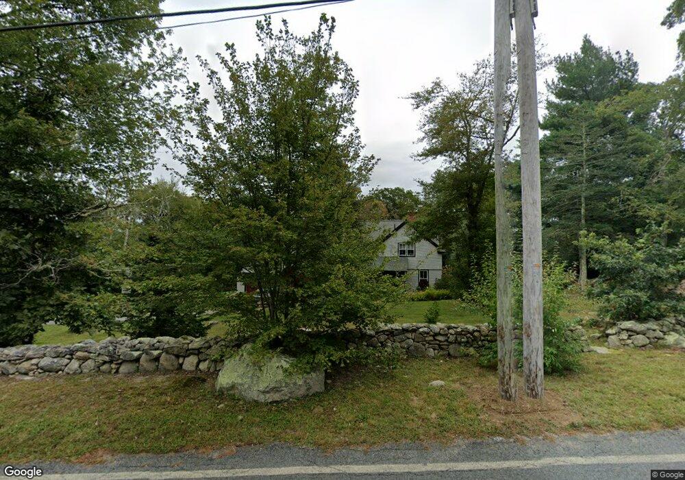
142 Old Harbor Rd Westport, MA 02790
Acoaxet NeighborhoodEstimated Value: $1,014,597 - $1,228,000
3
Beds
--
Bath
2,430
Sq Ft
$473/Sq Ft
Est. Value
About This Home
This home is located at 142 Old Harbor Rd, Westport, MA 02790 and is currently estimated at $1,150,149, approximately $473 per square foot. 142 Old Harbor Rd is a home located in Bristol County with nearby schools including Alice A. Macomber Primary School, Westport Elementary School, and Westport Middle-High School.
Ownership History
Date
Name
Owned For
Owner Type
Purchase Details
Closed on
Jan 6, 1997
Sold by
Eggers Childrens T and Brady Thomas T
Bought by
Peltier Marc D and Peltier Katherine O
Current Estimated Value
Home Financials for this Owner
Home Financials are based on the most recent Mortgage that was taken out on this home.
Original Mortgage
$78,750
Interest Rate
7.48%
Mortgage Type
Purchase Money Mortgage
Create a Home Valuation Report for This Property
The Home Valuation Report is an in-depth analysis detailing your home's value as well as a comparison with similar homes in the area
Home Values in the Area
Average Home Value in this Area
Purchase History
| Date | Buyer | Sale Price | Title Company |
|---|---|---|---|
| Peltier Marc D | $105,000 | -- |
Source: Public Records
Mortgage History
| Date | Status | Borrower | Loan Amount |
|---|---|---|---|
| Open | Peltier Marc D | $300,000 | |
| Closed | Peltier Marc D | $275,000 | |
| Closed | Peltier Marc D | $78,750 |
Source: Public Records
Tax History
| Year | Tax Paid | Tax Assessment Tax Assessment Total Assessment is a certain percentage of the fair market value that is determined by local assessors to be the total taxable value of land and additions on the property. | Land | Improvement |
|---|---|---|---|---|
| 2025 | $5,821 | $781,300 | $338,800 | $442,500 |
| 2024 | $5,785 | $748,400 | $315,900 | $432,500 |
| 2023 | $5,797 | $710,400 | $302,100 | $408,300 |
| 2022 | $5,504 | $663,500 | $302,100 | $361,400 |
| 2021 | $5,504 | $638,500 | $277,100 | $361,400 |
| 2020 | $5,298 | $628,500 | $267,100 | $361,400 |
| 2019 | $4,864 | $588,200 | $247,100 | $341,100 |
| 2018 | $5,329 | $652,300 | $339,000 | $313,300 |
| 2017 | $5,178 | $649,700 | $339,000 | $310,700 |
| 2016 | $4,922 | $622,200 | $345,200 | $277,000 |
| 2015 | $4,871 | $614,300 | $345,200 | $269,100 |
Source: Public Records
Map
Nearby Homes
- 245 John Dyer Rd
- 25 Quail Trail
- 17 Quail Trail
- 116 Amy Hart Path
- 255 John Dyer Rd
- 1 Puddingstone Cir
- 140 Long Hwy
- 140I Long Hwy
- 505 Long Hwy
- 90 Two Rod Rd
- 184 Field Stone Ln
- 502 Southlake Rd
- 164 Stoney Hollow Rd
- 127 Preservation Way
- 1282 East Rd
- 4 Pequaw-Honk Dr
- 101 Adamsville Rd
- 0 Willow Ave
- 839 Main Rd
- 141 Peckham Rd
- 130 Old Harbor Rd
- 174 Old Harbor Rd
- 188 Old Harbor Rd
- Lot 23F Old Harbor Rd
- 192 Old Harbor Rd
- 25 River Rd
- 87 River Rd
- 89 Old Harbor Rd
- 85 River Rd
- 118 Old Harbor Rd
- 198 Old Harbor Rd
- 93 River Rd
- 112 Old Harbor Rd
- 96 River Rd
- 86 River Rd
- 86 River Rd Unit 86
- 106 Old Harbor Rd
- 101 River Rd
- 216 Old Harbor Rd
- 121 Old Harbor Rd
Your Personal Tour Guide
Ask me questions while you tour the home.