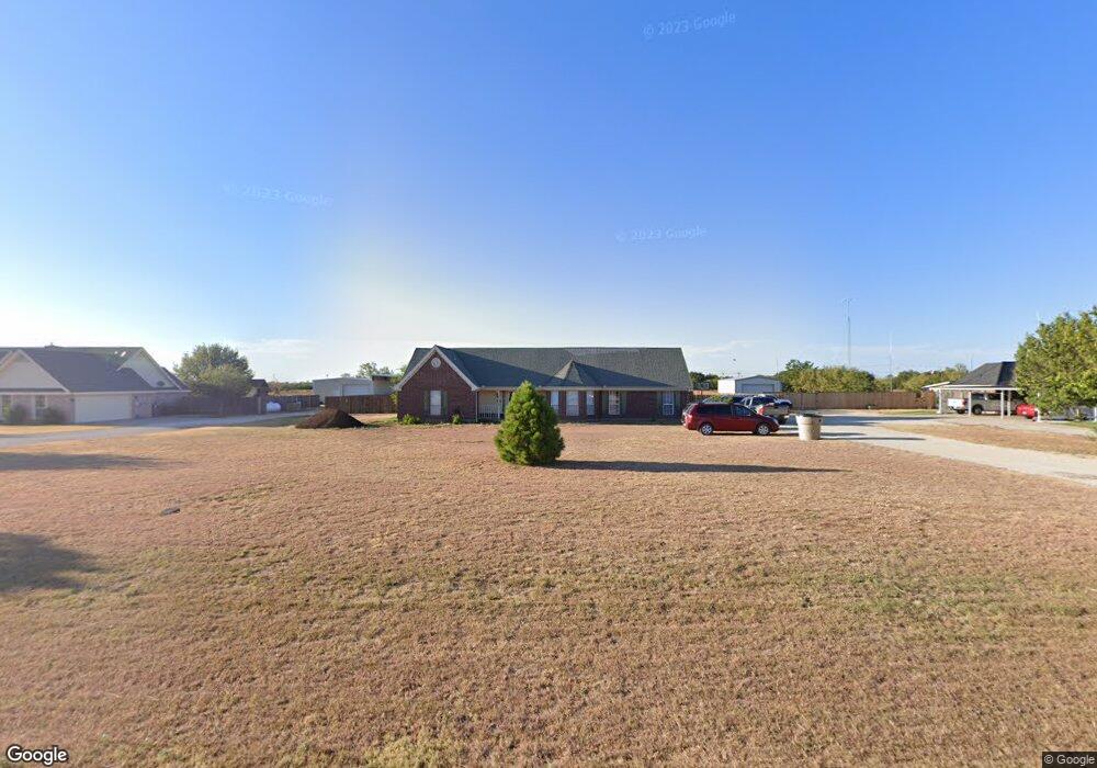
142 Parker Dr Abilene, TX 79602
Estimated Value: $393,000 - $454,422
4
Beds
2
Baths
2,235
Sq Ft
$189/Sq Ft
Est. Value
About This Home
This home is located at 142 Parker Dr, Abilene, TX 79602 and is currently estimated at $422,606, approximately $189 per square foot. 142 Parker Dr is a home located in Taylor County with nearby schools including Wylie West Early Childhood Center, Wylie West Intermediate School, and Wylie West Elementary School.
Ownership History
Date
Name
Owned For
Owner Type
Purchase Details
Closed on
Mar 6, 2013
Sold by
Hollman Ryan D and Hollman Dawn I Krachey
Bought by
Draper John E and Draper Betty A
Current Estimated Value
Home Financials for this Owner
Home Financials are based on the most recent Mortgage that was taken out on this home.
Original Mortgage
$206,860
Outstanding Balance
$145,312
Interest Rate
3.44%
Mortgage Type
VA
Estimated Equity
$277,294
Purchase Details
Closed on
Jun 13, 2007
Sold by
Farina Charles A and Farina Barbara E
Bought by
Hollman Ryan D and Hollman Dawn I Krachey
Home Financials for this Owner
Home Financials are based on the most recent Mortgage that was taken out on this home.
Original Mortgage
$201,015
Interest Rate
6.15%
Mortgage Type
VA
Create a Home Valuation Report for This Property
The Home Valuation Report is an in-depth analysis detailing your home's value as well as a comparison with similar homes in the area
Home Values in the Area
Average Home Value in this Area
Purchase History
| Date | Buyer | Sale Price | Title Company |
|---|---|---|---|
| Draper John E | -- | None Available | |
| Hollman Ryan D | -- | None Available |
Source: Public Records
Mortgage History
| Date | Status | Borrower | Loan Amount |
|---|---|---|---|
| Open | Draper John E | $206,860 | |
| Previous Owner | Hollman Ryan D | $201,015 |
Source: Public Records
Tax History Compared to Growth
Tax History
| Year | Tax Paid | Tax Assessment Tax Assessment Total Assessment is a certain percentage of the fair market value that is determined by local assessors to be the total taxable value of land and additions on the property. | Land | Improvement |
|---|---|---|---|---|
| 2025 | $4,472 | $382,603 | $16,117 | $366,486 |
| 2023 | $4,472 | $319,255 | $0 | $0 |
| 2022 | $4,636 | $290,232 | $0 | $0 |
| 2021 | $4,718 | $263,847 | $16,117 | $247,730 |
| 2020 | $4,408 | $240,755 | $16,117 | $224,638 |
| 2019 | $4,507 | $235,582 | $16,117 | $219,465 |
| 2018 | $3,967 | $229,542 | $16,117 | $213,425 |
| 2017 | $3,786 | $227,369 | $16,117 | $211,252 |
| 2016 | $3,644 | $218,841 | $16,117 | $202,724 |
| 2015 | $2,899 | $215,710 | $16,117 | $199,593 |
| 2014 | $2,899 | $209,526 | $0 | $0 |
Source: Public Records
Map
Nearby Homes
- 113 Sage Brush Dr
- 184 Showdown Rd
- TBD Fm 1750
- TBD Nora Miller Rd
- 3865 National Dr
- 133 Buckshot Rd
- 159 Boeing Ln
- 325 Nora Miller Rd
- 419 Meadow Ln
- 126 Beechcraft
- 219 Beechcraft
- 225 Beechcraft
- 228 Long Ranger Rd
- 231 Beechcraft
- 234 Long Ranger Rd
- 231 Long Ranger Rd
- 240 Long Ranger Rd
- 246 Long Ranger Rd
- 145 Cessna Ct
- 136 Cessna Ct