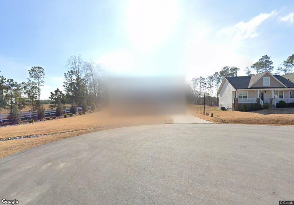
142 Regal Pond Dr Angier, NC 27501
Pleasant Grove NeighborhoodEstimated Value: $425,744 - $478,000
4
Beds
3
Baths
2,425
Sq Ft
$187/Sq Ft
Est. Value
About This Home
This home is located at 142 Regal Pond Dr, Angier, NC 27501 and is currently estimated at $454,186, approximately $187 per square foot. 142 Regal Pond Dr is a home located in Johnston County with nearby schools including McGee's Crossroads Elementary School, McGee's Crossroads Middle School, and West Johnston High School.
Ownership History
Date
Name
Owned For
Owner Type
Purchase Details
Closed on
Apr 29, 2019
Sold by
Rms Investments Llc
Bought by
Salemo Karen and Salemo John
Current Estimated Value
Home Financials for this Owner
Home Financials are based on the most recent Mortgage that was taken out on this home.
Original Mortgage
$294,467
Outstanding Balance
$257,839
Interest Rate
4%
Mortgage Type
FHA
Estimated Equity
$196,347
Purchase Details
Closed on
Jun 12, 2018
Sold by
Sams Branch Ii Llc
Bought by
Rms Investments Llc
Home Financials for this Owner
Home Financials are based on the most recent Mortgage that was taken out on this home.
Original Mortgage
$150,000
Interest Rate
4.5%
Mortgage Type
Construction
Create a Home Valuation Report for This Property
The Home Valuation Report is an in-depth analysis detailing your home's value as well as a comparison with similar homes in the area
Home Values in the Area
Average Home Value in this Area
Purchase History
| Date | Buyer | Sale Price | Title Company |
|---|---|---|---|
| Salemo Karen | $300,000 | None Available | |
| Rms Investments Llc | $50,000 | None Available | |
| Sams Branch Ii Llc | -- | None Available |
Source: Public Records
Mortgage History
| Date | Status | Borrower | Loan Amount |
|---|---|---|---|
| Open | Salemo Karen | $294,467 | |
| Previous Owner | Rms Investments Llc | $150,000 |
Source: Public Records
Tax History Compared to Growth
Tax History
| Year | Tax Paid | Tax Assessment Tax Assessment Total Assessment is a certain percentage of the fair market value that is determined by local assessors to be the total taxable value of land and additions on the property. | Land | Improvement |
|---|---|---|---|---|
| 2025 | $2,505 | $394,430 | $60,000 | $334,430 |
| 2024 | $2,290 | $282,370 | $47,000 | $235,370 |
| 2023 | $2,220 | $282,370 | $47,000 | $235,370 |
| 2022 | $2,291 | $282,370 | $47,000 | $235,370 |
| 2021 | $2,291 | $282,370 | $47,000 | $235,370 |
| 2020 | $2,377 | $282,370 | $47,000 | $235,370 |
| 2019 | $828 | $101,000 | $47,000 | $54,000 |
Source: Public Records
Map
Nearby Homes
- 3361 Old Fairground Rd
- 264 Harbor Cove Dr
- 156 Harbor Cove Dr
- Davidson Plan at Cedar Ridge
- Cypress Plan at Cedar Ridge
- McDowell Plan at Cedar Ridge
- Hamilton Plan at Cedar Ridge
- Colfax Plan at Cedar Ridge
- Edgefield Plan at Cedar Ridge
- Cooper Plan at Cedar Ridge
- Wescott Plan at Cedar Ridge
- 139 Bounty Cir
- 506 Harbor Cove Dr
- 105 Pinecrest Dr
- 197 Silverside Dr
- 179 Camden Dr
- 135 Brookstone Way
- 19 Silverside Dr
- 38.2 Acres Wiggins Rd
- 333 Greenleaf Rd
- 124 Regal Pond Dr
- 57 Wild Sage Cir
- 43 Wild Sage Cir
- 75 Wild Sage Cir
- 102 Regal Pond Dr
- 29 Wild Sage Cir
- 52 Wild Sage Cir
- 146 Prosperity Ct
- 160 Prosperity Ct
- 134 Prosperity Ct
- 168 Prosperity Ct
- 122 Prosperity Ct
- 91 Wild Sage Cir
- 3645 Old Fairground Rd
- 131 Regal Pond Dr
- 82 Wild Sage Cir
- 17 Wild Sage Cir
- 62 Regal Pond Dr
- 107 Regal Pond Dr
- 16 Wild Sage Cir