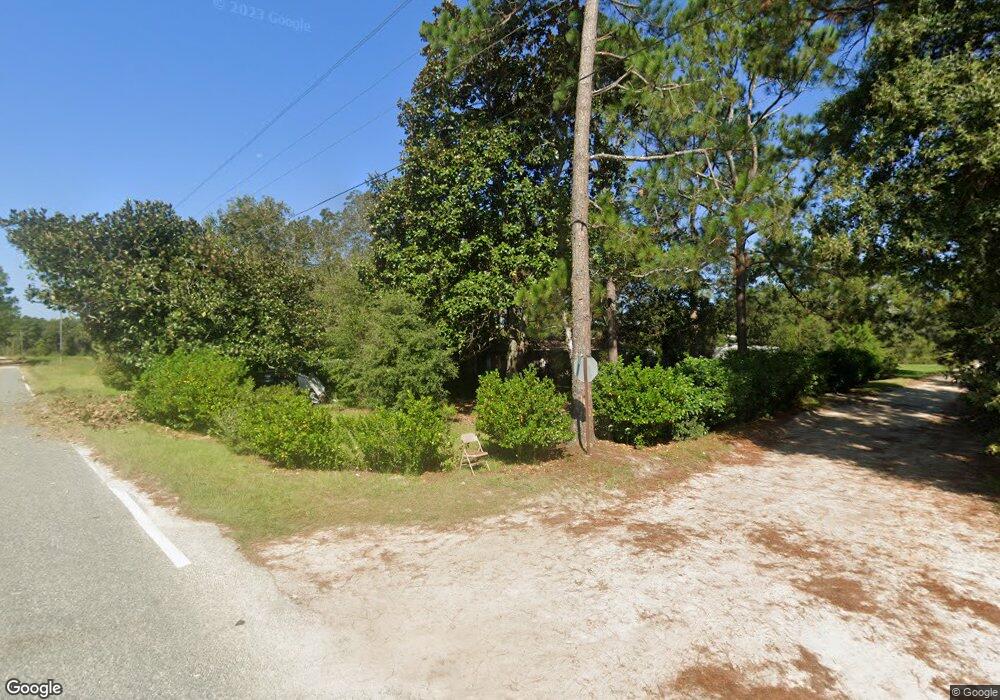
142 Remly Cir Hazlehurst, GA 31539
Estimated Value: $118,000 - $177,000
3
Beds
2
Baths
1,646
Sq Ft
$92/Sq Ft
Est. Value
About This Home
This home is located at 142 Remly Cir, Hazlehurst, GA 31539 and is currently estimated at $150,623, approximately $91 per square foot. 142 Remly Cir is a home located in Jeff Davis County with nearby schools including Jeff Davis Primary School, Jeff Davis Elementary School, and Jeff Davis Middle School.
Ownership History
Date
Name
Owned For
Owner Type
Purchase Details
Closed on
Jan 1, 2013
Sold by
Bryant Danny Earl
Bought by
Doaa
Current Estimated Value
Purchase Details
Closed on
Jan 28, 2009
Sold by
Byrd Drake Keith and Taylor Adrienne Drake
Bought by
Bryant Danny Earl
Purchase Details
Closed on
May 18, 2006
Sold by
Remley Drake Beulah
Bought by
Drake Keith Byrd
Purchase Details
Closed on
Jan 6, 1994
Bought by
Drake Beulah
Purchase Details
Closed on
Jan 1, 1972
Bought by
Drake Byron K and Drake Beulah
Create a Home Valuation Report for This Property
The Home Valuation Report is an in-depth analysis detailing your home's value as well as a comparison with similar homes in the area
Home Values in the Area
Average Home Value in this Area
Purchase History
| Date | Buyer | Sale Price | Title Company |
|---|---|---|---|
| Doaa | $74,300 | -- | |
| Bryant Danny Earl | $50,000 | -- | |
| Drake Keith Byrd | -- | -- | |
| Drake Beulah | -- | -- | |
| Drake Byron K | -- | -- |
Source: Public Records
Tax History Compared to Growth
Tax History
| Year | Tax Paid | Tax Assessment Tax Assessment Total Assessment is a certain percentage of the fair market value that is determined by local assessors to be the total taxable value of land and additions on the property. | Land | Improvement |
|---|---|---|---|---|
| 2024 | $1,299 | $46,200 | $1,800 | $44,400 |
| 2023 | $879 | $29,922 | $842 | $29,080 |
| 2022 | $879 | $29,922 | $842 | $29,080 |
| 2021 | $879 | $29,922 | $842 | $29,080 |
| 2020 | $879 | $29,922 | $842 | $29,080 |
| 2019 | $879 | $29,922 | $842 | $29,080 |
| 2018 | $879 | $29,922 | $842 | $29,080 |
| 2017 | $858 | $29,716 | $842 | $28,874 |
| 2016 | $843 | $29,716 | $842 | $28,874 |
| 2015 | -- | $29,716 | $842 | $28,874 |
| 2014 | -- | $29,901 | $842 | $29,059 |
Source: Public Records
Map
Nearby Homes
- 60 Fred Hutchinson Rd
- 00 Herrington Rd
- 0 Herrington Rd
- 0 Wragler Ln Unit 10542405
- 0 Elizabeth Church Rd Unit 10583146
- 37 Dogwood Rd
- 393 Douglas Hwy
- 29 Bellview Cir
- 0 Herrington Rd
- 185 S Cromartie St
- 00 Elizabeth Church Rd
- 0 Old Graham Rd Unit 10649506
- 0 Old Graham Rd Unit 23843
- 000 Old Graham Rd
- 00 Old Graham Rd
- 0 Old Graham Rd Unit 10531283
- 34 Bradford Ln
- 43 Graham Methodist Church Rd
- 120 Elizabeth Church Rd
- 74 Leslie Rd
- 136 Remly Cir
- 89 Brooks Hughes Rd
- 108 Remly Cir
- 24 Brooks Hughes Rd
- 58 Tompkins Rd
- 7 Brooks Hughes Rd
- 99 Brooks Hughes Rd
- 2 Dykes Farm Rd
- 70 Tompkins Rd
- 1010 Alma Hwy
- 1022 Alma Hwy
- 1037 Alma Hwy
- 991 Alma Hwy
- 94 Tompkins Rd
- 96 Dykes Farm Rd
- 98 Tompkins Rd
- 101 Tompkins Rd
- 17 Melvin Rd
- 121 Tompkins Rd
- 140 Tompkins Rd
