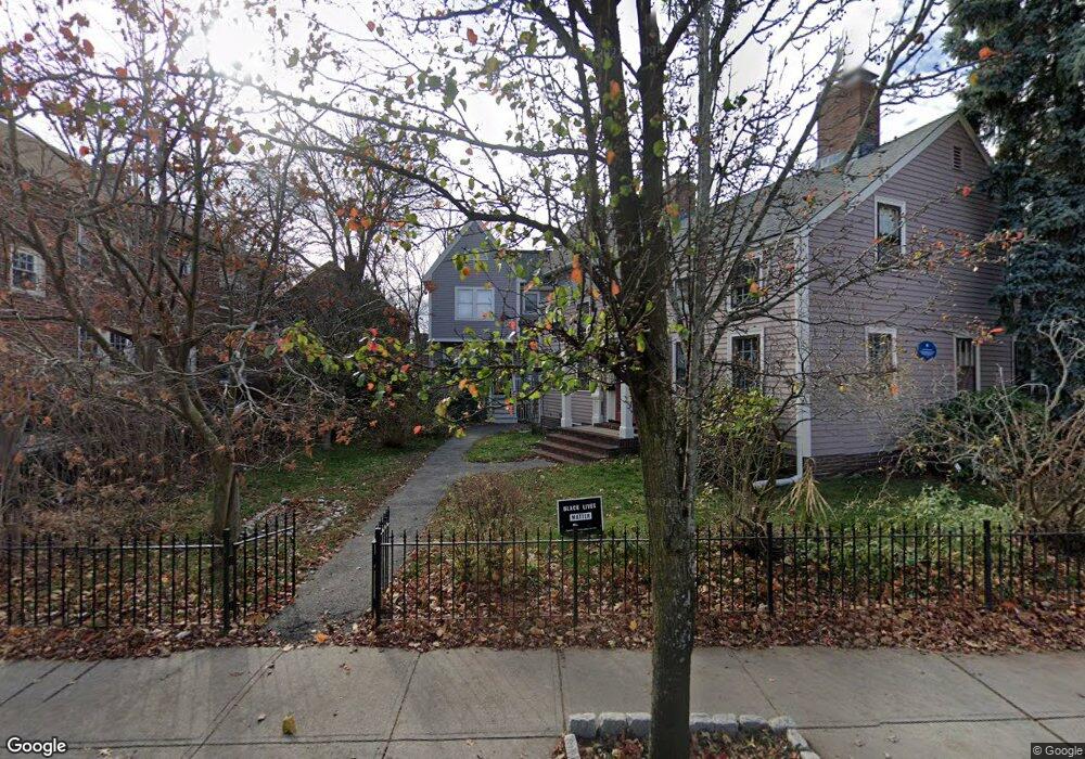
142 Rindge Ave Cambridge, MA 02140
North Cambridge NeighborhoodEstimated Value: $826,000 - $1,079,693
2
Beds
3
Baths
1,180
Sq Ft
$820/Sq Ft
Est. Value
About This Home
This home is located at 142 Rindge Ave, Cambridge, MA 02140 and is currently estimated at $967,423, approximately $819 per square foot. 142 Rindge Ave is a home located in Middlesex County with nearby schools including Benjamin Banneker Charter Public School, Cambridge Friends School, and Cambridge Montessori School.
Ownership History
Date
Name
Owned For
Owner Type
Purchase Details
Closed on
Aug 11, 1993
Sold by
Kopchik John C
Bought by
Brooten Bernadette J
Current Estimated Value
Home Financials for this Owner
Home Financials are based on the most recent Mortgage that was taken out on this home.
Original Mortgage
$157,050
Interest Rate
7.16%
Mortgage Type
Purchase Money Mortgage
Purchase Details
Closed on
Nov 14, 1988
Sold by
Rindge Ave 146 Rt
Bought by
Kopchik John C
Home Financials for this Owner
Home Financials are based on the most recent Mortgage that was taken out on this home.
Original Mortgage
$184,000
Interest Rate
10.36%
Mortgage Type
Purchase Money Mortgage
Create a Home Valuation Report for This Property
The Home Valuation Report is an in-depth analysis detailing your home's value as well as a comparison with similar homes in the area
Home Values in the Area
Average Home Value in this Area
Purchase History
| Date | Buyer | Sale Price | Title Company |
|---|---|---|---|
| Brooten Bernadette J | $174,500 | -- | |
| Kopchik John C | $230,000 | -- |
Source: Public Records
Mortgage History
| Date | Status | Borrower | Loan Amount |
|---|---|---|---|
| Closed | Kopchik John C | $99,500 | |
| Closed | Kopchik John C | $157,050 | |
| Previous Owner | Kopchik John C | $184,000 |
Source: Public Records
Tax History Compared to Growth
Tax History
| Year | Tax Paid | Tax Assessment Tax Assessment Total Assessment is a certain percentage of the fair market value that is determined by local assessors to be the total taxable value of land and additions on the property. | Land | Improvement |
|---|---|---|---|---|
| 2025 | $6,072 | $956,200 | $0 | $956,200 |
| 2024 | $5,555 | $938,400 | $0 | $938,400 |
| 2023 | $5,190 | $885,600 | $0 | $885,600 |
| 2022 | $5,092 | $860,100 | $0 | $860,100 |
| 2021 | $4,888 | $835,600 | $0 | $835,600 |
| 2020 | $4,571 | $794,900 | $0 | $794,900 |
| 2019 | $4,402 | $741,000 | $0 | $741,000 |
| 2018 | $4,303 | $684,100 | $0 | $684,100 |
| 2017 | $4,201 | $647,300 | $0 | $647,300 |
| 2016 | $4,094 | $585,700 | $0 | $585,700 |
| 2015 | $3,827 | $489,400 | $0 | $489,400 |
| 2014 | $3,803 | $453,800 | $0 | $453,800 |
Source: Public Records
Map
Nearby Homes
- 179 Rindge Ave Unit 1
- 183 Rindge Ave Unit 1
- 30 Dudley St
- 22 Harrington Rd
- 12 Rindge Ave Unit 1
- 17 Shea Rd
- 110 Reed St
- 61 Bolton St Unit 304
- 147 Sherman St Unit 201
- 39 Bellis Cir Unit E
- 34 Day St
- 8 Cogswell Ave
- 69 Harvey St Unit 1
- 124 Jackson St
- 2456 Massachusetts Ave Unit 402
- 50 Howard St Unit 5
- 32 Cameron Ave
- 49 Clifton St
- 127 Harvey St
- 127 Harvey St Unit 127
- 136 Rindge Ave Unit 138
- 136-138 Rindge Ave
- 146 Rindge Ave
- 144 Rindge Ave
- 140 Rindge Ave
- 132 Rindge Ave Unit 132
- 132 Rindge Ave Unit 25
- 132 Rindge Ave
- 132 Rindge Ave Unit 1
- 132 Rindge Ave
- 130 Rindge Ave Unit 130
- 130 Rindge Ave Unit 1
- 130 Rindge Ave
- 134 Rindge Ave
- 156 Rindge Ave
- 18 Middlesex St
- 131 Rindge Ave Unit A
- 131 Rindge Ave Unit B
- 131 Rindge Ave
- 131 Rindge Ave Unit 2