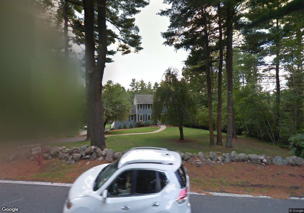
142 River St Middleton, MA 01949
Estimated Value: $1,006,473 - $1,210,000
4
Beds
3
Baths
2,934
Sq Ft
$376/Sq Ft
Est. Value
About This Home
This home is located at 142 River St, Middleton, MA 01949 and is currently estimated at $1,103,868, approximately $376 per square foot. 142 River St is a home located in Essex County with nearby schools including Howe-Manning Elementary School, Fuller Meadow Elementary School, and Masconomet Regional Middle School.
Ownership History
Date
Name
Owned For
Owner Type
Purchase Details
Closed on
Aug 1, 2002
Sold by
Szczechowicz Joseph and Szczechowicz Karen L
Bought by
Lepore Carmine P and Lepore Gina M
Current Estimated Value
Purchase Details
Closed on
Mar 15, 2000
Sold by
Rodham Patricia D
Bought by
Szczechowicz Joseph and Szczechowicz Karen L
Purchase Details
Closed on
Jan 19, 1995
Sold by
Rodham Paul N and Rodham Patricia
Bought by
River Rt and Szczechowicz Joseph
Create a Home Valuation Report for This Property
The Home Valuation Report is an in-depth analysis detailing your home's value as well as a comparison with similar homes in the area
Home Values in the Area
Average Home Value in this Area
Purchase History
| Date | Buyer | Sale Price | Title Company |
|---|---|---|---|
| Lepore Carmine P | $460,000 | -- | |
| Lepore Carmine P | $460,000 | -- | |
| Szczechowicz Joseph | $327,500 | -- | |
| Szczechowicz Joseph | $327,500 | -- | |
| River Rt | $3,300 | -- | |
| River Rt | $3,300 | -- |
Source: Public Records
Mortgage History
| Date | Status | Borrower | Loan Amount |
|---|---|---|---|
| Open | River Rt | $50,000 |
Source: Public Records
Tax History
| Year | Tax Paid | Tax Assessment Tax Assessment Total Assessment is a certain percentage of the fair market value that is determined by local assessors to be the total taxable value of land and additions on the property. | Land | Improvement |
|---|---|---|---|---|
| 2025 | $10,293 | $865,700 | $345,900 | $519,800 |
| 2024 | $10,104 | $857,000 | $345,900 | $511,100 |
| 2023 | $9,492 | $737,500 | $345,900 | $391,600 |
| 2022 | $8,658 | $653,400 | $311,600 | $341,800 |
| 2021 | $8,334 | $607,400 | $277,600 | $329,800 |
| 2020 | $7,999 | $587,300 | $253,600 | $333,700 |
| 2019 | $7,666 | $560,000 | $261,600 | $298,400 |
| 2018 | $7,580 | $543,000 | $257,600 | $285,400 |
| 2017 | $7,108 | $509,500 | $227,600 | $281,900 |
| 2016 | $6,606 | $475,600 | $197,600 | $278,000 |
| 2015 | $6,577 | $477,300 | $201,600 | $275,700 |
Source: Public Records
Map
Nearby Homes
- 12 Couture Way
- 1 Couture Way
- 40 Glen Dr
- 6 Cabral Dr
- 6 White Ln
- 2 Tyler Ln
- 2 Wedge Ct Unit 2
- 23 Hamilton Rd
- 1466 Main St
- 7 James Ave
- 19 Peachey Cir
- 20 Bellingham Ct
- 24 Worcester Rd
- 14 Niblick Way
- 9 Stableford Ct Unit 9
- 1 Mills Point Unit 1
- 7 Stableford Ct Unit 10
- 5 Stableford Ct Unit 11
- 35 Catherine Dr
- 1 Stableford Ct Unit 13
Your Personal Tour Guide
Ask me questions while you tour the home.