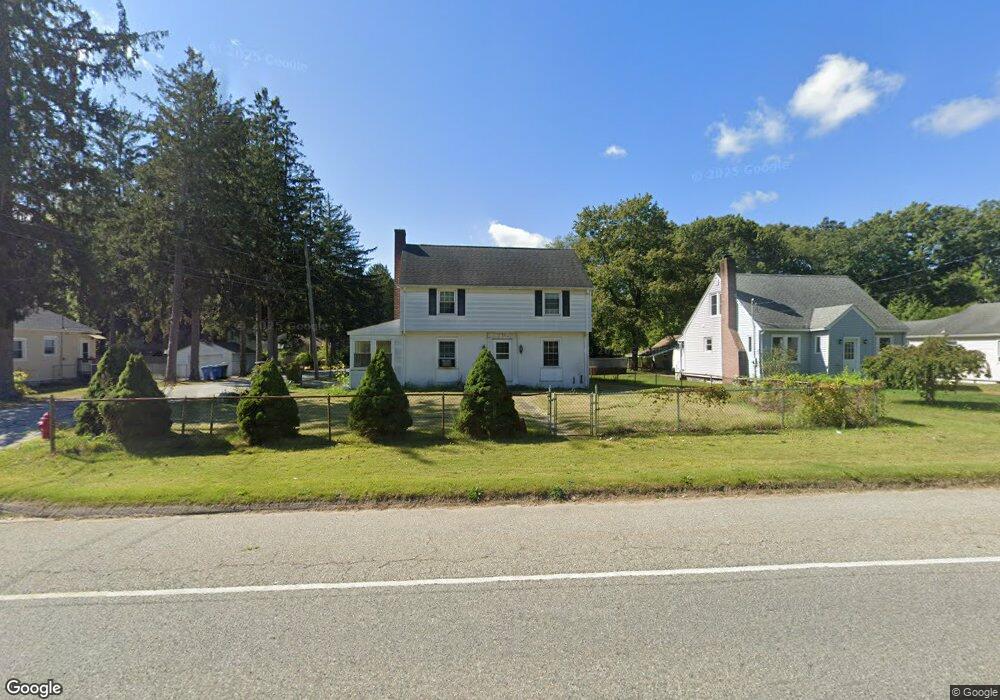
142 Route 12 Preston, CT 06365
Estimated Value: $260,512 - $377,000
3
Beds
1
Bath
1,451
Sq Ft
$229/Sq Ft
Est. Value
About This Home
This home is located at 142 Route 12, Preston, CT 06365 and is currently estimated at $332,378, approximately $229 per square foot. 142 Route 12 is a home located in New London County with nearby schools including Integrated Day Charter School and St. Bernard School.
Ownership History
Date
Name
Owned For
Owner Type
Purchase Details
Closed on
Dec 22, 2009
Sold by
Vacs Realty Llc
Bought by
Vocatura Properties Ll
Current Estimated Value
Purchase Details
Closed on
Oct 16, 2009
Sold by
Hsbc Mortgage Svcs Inc
Bought by
Vois Realty Llc
Purchase Details
Closed on
Sep 3, 2009
Sold by
Dazey Kevin L
Bought by
Hsbc Mortgage Svcs Inc
Purchase Details
Closed on
Jan 20, 1988
Sold by
Mystic Land Co
Bought by
Andersen Nathan
Home Financials for this Owner
Home Financials are based on the most recent Mortgage that was taken out on this home.
Original Mortgage
$100,000
Interest Rate
10.64%
Mortgage Type
Purchase Money Mortgage
Create a Home Valuation Report for This Property
The Home Valuation Report is an in-depth analysis detailing your home's value as well as a comparison with similar homes in the area
Home Values in the Area
Average Home Value in this Area
Purchase History
| Date | Buyer | Sale Price | Title Company |
|---|---|---|---|
| Vocatura Properties Ll | -- | -- | |
| Vois Realty Llc | $200,000 | -- | |
| Hsbc Mortgage Svcs Inc | -- | -- | |
| Andersen Nathan | $140,000 | -- |
Source: Public Records
Mortgage History
| Date | Status | Borrower | Loan Amount |
|---|---|---|---|
| Previous Owner | Andersen Nathan | $295,000 | |
| Previous Owner | Andersen Nathan | $242,200 | |
| Previous Owner | Andersen Nathan | $100,000 |
Source: Public Records
Tax History
| Year | Tax Paid | Tax Assessment Tax Assessment Total Assessment is a certain percentage of the fair market value that is determined by local assessors to be the total taxable value of land and additions on the property. | Land | Improvement |
|---|---|---|---|---|
| 2025 | $3,573 | $142,310 | $42,700 | $99,610 |
| 2024 | $3,326 | $142,310 | $42,700 | $99,610 |
| 2023 | $3,266 | $142,310 | $42,700 | $99,610 |
| 2022 | $2,693 | $96,600 | $34,900 | $61,700 |
| 2021 | $2,602 | $96,600 | $34,900 | $61,700 |
| 2020 | $2,607 | $96,900 | $34,900 | $62,000 |
| 2019 | $2,561 | $96,900 | $34,900 | $62,000 |
| 2018 | $2,522 | $96,900 | $34,900 | $62,000 |
| 2017 | $2,532 | $105,500 | $36,100 | $69,400 |
| 2016 | $2,506 | $105,500 | $36,100 | $69,400 |
| 2015 | $2,427 | $105,500 | $36,100 | $69,400 |
| 2014 | $2,441 | $105,500 | $36,100 | $69,400 |
Source: Public Records
Map
Nearby Homes
- 3 Holdsworth Rd
- 43 Drawbridge Rd
- 24 Rankin Ct
- 4 N Glenwoods Rd
- 13 Tuckers Run
- 36 Bittersweet Dr
- 16 Marlene Dr
- 8 Windward Ln
- 236 Avery Hill Rd
- 51 Dydo Dr
- 27 Linda Ave
- 118 Route 2a
- 104 Route 2a
- 87 Fort Shantok Rd
- 0 Clarks Falls Unit 24089817
- 61 Fort Shantok Rd
- 34 Riched Ln
- 9 Oakridge Dr
- 31 Woodland Dr
- 5 Tom Allyn Ct
Your Personal Tour Guide
Ask me questions while you tour the home.