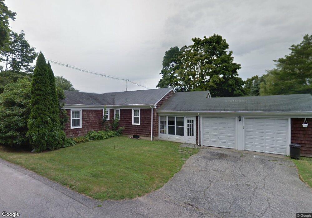
142 Ruggles Ave Newport, RI 02840
Fifth Ward NeighborhoodEstimated Value: $1,236,000 - $1,833,000
4
Beds
2
Baths
1,696
Sq Ft
$851/Sq Ft
Est. Value
About This Home
This home is located at 142 Ruggles Ave, Newport, RI 02840 and is currently estimated at $1,443,090, approximately $850 per square foot. 142 Ruggles Ave is a home located in Newport County with nearby schools including Rogers High School, St Michael's Country Day School, and All Saints STEAM Academy.
Ownership History
Date
Name
Owned For
Owner Type
Purchase Details
Closed on
Apr 21, 2014
Sold by
Hutchison Joseph R
Bought by
Toppa Michol A and Sullivan Stephanie H
Current Estimated Value
Create a Home Valuation Report for This Property
The Home Valuation Report is an in-depth analysis detailing your home's value as well as a comparison with similar homes in the area
Home Values in the Area
Average Home Value in this Area
Purchase History
| Date | Buyer | Sale Price | Title Company |
|---|---|---|---|
| Toppa Michol A | -- | -- |
Source: Public Records
Mortgage History
| Date | Status | Borrower | Loan Amount |
|---|---|---|---|
| Previous Owner | Toppa Michol A | $85,000 | |
| Previous Owner | Toppa Michol A | $75,000 | |
| Previous Owner | Toppa Michol A | $100,000 |
Source: Public Records
Tax History Compared to Growth
Tax History
| Year | Tax Paid | Tax Assessment Tax Assessment Total Assessment is a certain percentage of the fair market value that is determined by local assessors to be the total taxable value of land and additions on the property. | Land | Improvement |
|---|---|---|---|---|
| 2025 | $7,264 | $1,011,700 | $653,500 | $358,200 |
| 2024 | $7,052 | $1,011,700 | $653,500 | $358,200 |
| 2023 | $6,434 | $648,600 | $430,200 | $218,400 |
| 2022 | $6,233 | $648,600 | $430,200 | $218,400 |
| 2021 | $6,051 | $648,600 | $430,200 | $218,400 |
| 2020 | $5,921 | $576,000 | $356,500 | $219,500 |
| 2019 | $5,921 | $576,000 | $356,500 | $219,500 |
| 2018 | $5,754 | $576,000 | $356,500 | $219,500 |
| 2017 | $5,077 | $452,900 | $284,800 | $168,100 |
| 2016 | $4,950 | $452,900 | $284,800 | $168,100 |
| 2015 | $4,832 | $452,900 | $284,800 | $168,100 |
| 2014 | $4,836 | $401,000 | $222,600 | $178,400 |
Source: Public Records
Map
Nearby Homes
- 63 Coggeshall Ave
- 519 Bellevue Ave Unit 1W
- 129 Ruggles Ave
- 0 Meikle Ave
- 17 Meikle Ave Unit 19
- 553 Bellevue Ave Unit 14
- 70 Carroll Ave Unit 905
- 70 Carroll Ave Unit 510
- 13 Vaughan Ave
- 207 Ruggles Ave
- 14 Leroy Ave
- 39 Connection St
- 601 Bellevue Ave
- 45 Hammond St Unit 2
- 99 Roseneath Ave
- 91 Houston Ave
- 57 Clinton St Unit 57C
- 62 Dixon St
- 604 Thames & 4 Dixon St
- 6 Sharon Ct
- 140 Ruggles Ave
- 10 George St
- 12 George St
- 166 Ruggles Ave
- 159 Ruggles Ave
- 167 Ruggles Ave
- 136 Ruggles Ave
- 7 Andrew St
- 77 Coggeshall Ave
- 77 Coggeshall Ave Unit N
- 5 Andrew St
- 153 Ruggles Ave
- 9 Andrew St
- 16 George St
- 169 Ruggles Ave
- 11 Andrew St
- 81 Coggeshall Ave
- 151 Ruggles Ave
- 0 Coggeshall Ave
- 172 Ruggles Ave Unit 1