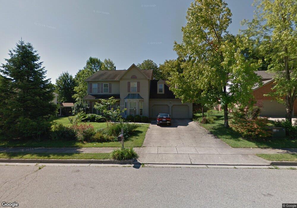
142 Ryan Dr Oxford, OH 45056
Estimated Value: $400,704 - $482,000
4
Beds
3
Baths
2,356
Sq Ft
$190/Sq Ft
Est. Value
About This Home
This home is located at 142 Ryan Dr, Oxford, OH 45056 and is currently estimated at $446,926, approximately $189 per square foot. 142 Ryan Dr is a home located in Butler County with nearby schools including Talawanda Middle School, Talawanda High School, and Mcguffey Montessori School.
Ownership History
Date
Name
Owned For
Owner Type
Purchase Details
Closed on
Jun 15, 2007
Sold by
Blasi Enrico C and Blasi Susan
Bought by
Fisk Melany and Ingersoll Richard C
Current Estimated Value
Home Financials for this Owner
Home Financials are based on the most recent Mortgage that was taken out on this home.
Original Mortgage
$170,000
Outstanding Balance
$102,560
Interest Rate
6.2%
Mortgage Type
Purchase Money Mortgage
Estimated Equity
$344,366
Purchase Details
Closed on
Jan 10, 2001
Sold by
Blasi Enrico C
Bought by
Blasi Enrico C and Blasi Susan
Purchase Details
Closed on
Sep 15, 1999
Sold by
Siehl Jane and Moore Jane
Bought by
Blasi Enrico C
Home Financials for this Owner
Home Financials are based on the most recent Mortgage that was taken out on this home.
Original Mortgage
$190,000
Interest Rate
8.21%
Mortgage Type
Purchase Money Mortgage
Purchase Details
Closed on
Sep 1, 1990
Purchase Details
Closed on
Jan 1, 1990
Create a Home Valuation Report for This Property
The Home Valuation Report is an in-depth analysis detailing your home's value as well as a comparison with similar homes in the area
Home Values in the Area
Average Home Value in this Area
Purchase History
| Date | Buyer | Sale Price | Title Company |
|---|---|---|---|
| Fisk Melany | $250,000 | Vintage Title Agency Inc | |
| Blasi Enrico C | -- | -- | |
| Blasi Enrico C | $200,000 | -- | |
| -- | $28,000 | -- | |
| -- | $176,700 | -- |
Source: Public Records
Mortgage History
| Date | Status | Borrower | Loan Amount |
|---|---|---|---|
| Open | Fisk Melany | $170,000 | |
| Previous Owner | Blasi Enrico C | $190,000 |
Source: Public Records
Tax History
| Year | Tax Paid | Tax Assessment Tax Assessment Total Assessment is a certain percentage of the fair market value that is determined by local assessors to be the total taxable value of land and additions on the property. | Land | Improvement |
|---|---|---|---|---|
| 2025 | $4,419 | $119,880 | $13,800 | $106,080 |
| 2024 | $4,419 | $119,880 | $13,800 | $106,080 |
| 2023 | $4,240 | $121,310 | $13,800 | $107,510 |
| 2022 | $3,515 | $90,510 | $13,800 | $76,710 |
| 2021 | $3,347 | $90,510 | $13,800 | $76,710 |
| 2020 | $3,499 | $90,510 | $13,800 | $76,710 |
| 2019 | $6,110 | $80,890 | $15,070 | $65,820 |
| 2018 | $3,298 | $80,890 | $15,070 | $65,820 |
| 2017 | $2,964 | $80,890 | $15,070 | $65,820 |
| 2016 | $2,844 | $75,080 | $15,070 | $60,010 |
| 2015 | $2,893 | $75,080 | $15,070 | $60,010 |
| 2014 | $3,279 | $75,080 | $15,070 | $60,010 |
| 2013 | $3,279 | $83,570 | $12,050 | $71,520 |
Source: Public Records
Map
Nearby Homes
- 0 Dana Dr Unit 1860017
- 626 W Chestnut St
- 70 Harvest Ct
- 60 Autumn Dr
- 913 S Locust St
- 5840 Roberts Dr
- 53 Great Horned Dr
- 59 Great Horned Dr
- 4215 Kehr Rd
- 71 Great Horned Dr
- 83 Great Horned Dr
- 400 Emerald Woods Dr
- 209 Morgan Cir
- 1985 Snowy Ln
- 1969 Snowy Ln
- 1020 Tollgate Dr
- 6135 Fairfield Rd
- 29 Gardenia Dr
- 6038 Booth Rd
- 6017 Vereker Dr
Your Personal Tour Guide
Ask me questions while you tour the home.