142 Simon St Unit 118 Delaware, OH 43015
Estimated Value: $242,000 - $278,000
3
Beds
2
Baths
1,206
Sq Ft
$212/Sq Ft
Est. Value
About This Home
This home is located at 142 Simon St Unit 118, Delaware, OH 43015 and is currently estimated at $255,450, approximately $211 per square foot. 142 Simon St Unit 118 is a home located in Delaware County with nearby schools including Robert F. Schultz Elementary School, John C. Dempsey Middle School, and Rutherford B. Hayes High School.
Ownership History
Date
Name
Owned For
Owner Type
Purchase Details
Closed on
Sep 8, 2017
Sold by
Dixon Rhonda S
Bought by
Dixon Rhonda S and Dixon Sarah
Current Estimated Value
Purchase Details
Closed on
Sep 16, 2008
Sold by
Crouch Mark and Will Of Paul F Crouch
Bought by
Dixon Rhonda S
Home Financials for this Owner
Home Financials are based on the most recent Mortgage that was taken out on this home.
Original Mortgage
$84,884
Interest Rate
6.52%
Mortgage Type
Purchase Money Mortgage
Purchase Details
Closed on
Aug 1, 2003
Sold by
Dominion Homes Inc
Bought by
Crouch Paul F
Home Financials for this Owner
Home Financials are based on the most recent Mortgage that was taken out on this home.
Original Mortgage
$120,500
Interest Rate
5.47%
Mortgage Type
FHA
Create a Home Valuation Report for This Property
The Home Valuation Report is an in-depth analysis detailing your home's value as well as a comparison with similar homes in the area
Home Values in the Area
Average Home Value in this Area
Purchase History
| Date | Buyer | Sale Price | Title Company |
|---|---|---|---|
| Dixon Rhonda S | -- | None Available | |
| Dixon Rhonda S | $30,866 | Talon Group | |
| Crouch Paul F | $123,300 | Multiple |
Source: Public Records
Mortgage History
| Date | Status | Borrower | Loan Amount |
|---|---|---|---|
| Previous Owner | Dixon Rhonda S | $84,884 | |
| Previous Owner | Crouch Paul F | $120,500 |
Source: Public Records
Tax History
| Year | Tax Paid | Tax Assessment Tax Assessment Total Assessment is a certain percentage of the fair market value that is determined by local assessors to be the total taxable value of land and additions on the property. | Land | Improvement |
|---|---|---|---|---|
| 2024 | $2,872 | $70,530 | $12,080 | $58,450 |
| 2023 | $2,907 | $70,530 | $12,080 | $58,450 |
| 2022 | $2,175 | $48,550 | $10,500 | $38,050 |
| 2021 | $2,223 | $48,550 | $10,500 | $38,050 |
| 2020 | $2,249 | $48,550 | $10,500 | $38,050 |
| 2019 | $1,818 | $37,910 | $8,400 | $29,510 |
| 2018 | $1,843 | $37,910 | $8,400 | $29,510 |
| 2017 | $2,238 | $36,300 | $7,000 | $29,300 |
| 2016 | $2,093 | $36,300 | $7,000 | $29,300 |
| 2015 | $2,105 | $36,300 | $7,000 | $29,300 |
| 2014 | $2,138 | $36,300 | $7,000 | $29,300 |
| 2013 | $2,280 | $38,500 | $7,000 | $31,500 |
Source: Public Records
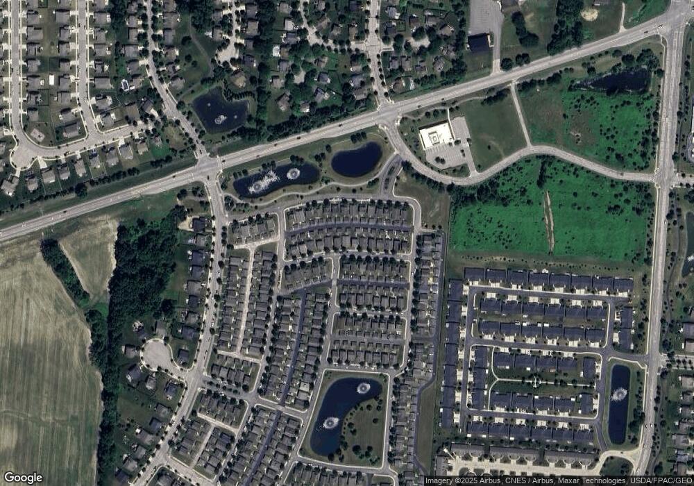
Map
Nearby Homes
- 644 Lehner Woods Blvd
- 123 Schellinger St
- 183 Schellinger St
- 512 Lehner Woods Blvd
- 69 Greenhedge Cir Unit 69
- 478 Penwell Dr Unit Lot 13903
- 370 Little Creek Dr Unit 370
- 101 Franks Field Dr Unit Lot 13845
- 107 Franks Field Dr Unit Lot 13846
- 538 Penwell Dr
- 233 Franks Field Dr Unit Lot 13880
- 0 S Houk Rd
- 573 Penwell Dr
- 865 Canal St
- 854 S Section Line Rd
- 112 Silverline Dr
- 615 S Section Line Rd
- 440 Steeplechase St
- 345 Lenell Loop
- 2961 Warrensburg Rd
- 178 Simon St Unit 112
- 100 Simon St Unit 125
- 130 Simon St Unit 120
- 154 Simon St Unit 116
- 160 Simon St Unit 115
- 166 Simon St Unit 114
- 172 Simon St Unit 113
- 148 Simon St Unit 117
- 136 Simon St Unit 119
- 124 Simon St Unit 121
- 131 Simon St Unit 131
- 291 Saratoga St Unit 104
- 279 Saratoga St Unit 106
- 118 Simon St Unit 122
- 137 Simon St
- 137 Simon St Unit 132
- 143 Simon St Unit 133
- 297 Saratoga St Unit 103
- 303 Saratoga St Unit 102
- 161 Simon St Unit 97
Your Personal Tour Guide
Ask me questions while you tour the home.