Estimated Value: $630,000 - $1,061,000
3
Beds
3
Baths
3,032
Sq Ft
$278/Sq Ft
Est. Value
About This Home
This home is located at 142 Stone Point Ln, Apex, NC 27523 and is currently estimated at $842,786, approximately $277 per square foot. 142 Stone Point Ln is a home located in Chatham County with nearby schools including North Chatham Elementary School, Margaret B. Pollard Middle School, and Jordan Lake School Of The Arts.
Ownership History
Date
Name
Owned For
Owner Type
Purchase Details
Closed on
Oct 26, 2009
Sold by
Perschy John Alan
Bought by
Perschy John Alan and Perschy Teresa B
Current Estimated Value
Home Financials for this Owner
Home Financials are based on the most recent Mortgage that was taken out on this home.
Original Mortgage
$146,000
Interest Rate
5.01%
Mortgage Type
New Conventional
Create a Home Valuation Report for This Property
The Home Valuation Report is an in-depth analysis detailing your home's value as well as a comparison with similar homes in the area
Home Values in the Area
Average Home Value in this Area
Purchase History
| Date | Buyer | Sale Price | Title Company |
|---|---|---|---|
| Perschy John Alan | -- | None Available |
Source: Public Records
Mortgage History
| Date | Status | Borrower | Loan Amount |
|---|---|---|---|
| Closed | Perschy John Alan | $146,000 |
Source: Public Records
Tax History Compared to Growth
Tax History
| Year | Tax Paid | Tax Assessment Tax Assessment Total Assessment is a certain percentage of the fair market value that is determined by local assessors to be the total taxable value of land and additions on the property. | Land | Improvement |
|---|---|---|---|---|
| 2025 | $5,588 | $773,672 | $91,670 | $682,002 |
| 2024 | $5,588 | $519,184 | $74,825 | $444,359 |
| 2023 | $4,566 | $519,184 | $74,825 | $444,359 |
| 2022 | $4,190 | $519,184 | $74,825 | $444,359 |
| 2021 | $4,138 | $519,184 | $74,825 | $444,359 |
| 2020 | $3,074 | $379,038 | $58,996 | $320,042 |
| 2019 | $3,074 | $379,038 | $58,996 | $320,042 |
| 2018 | $2,896 | $379,038 | $58,996 | $320,042 |
| 2017 | $2,896 | $379,038 | $58,996 | $320,042 |
| 2016 | $2,641 | $341,505 | $50,557 | $290,948 |
| 2015 | $2,601 | $341,505 | $50,557 | $290,948 |
| 2014 | $2,549 | $341,505 | $50,557 | $290,948 |
| 2013 | -- | $341,505 | $50,557 | $290,948 |
Source: Public Records
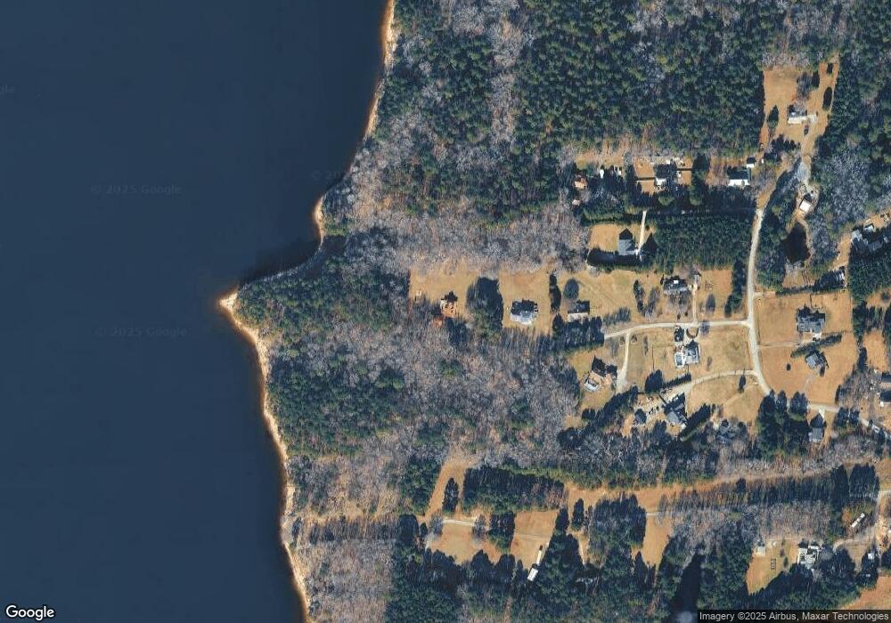
Map
Nearby Homes
- 163 Sexton Rd
- 0 Waterfall Ridge Dr Unit 8 CAR4149994
- 2545 Old Benbow Rd
- 0 Nc Hwy 49 None S
- TBD Long Branch Rd
- 460 Gallup Rd
- 125 Windy Ridge Rd
- 250 Rays Dr
- 345 Rays Dr
- 860 Farrington Point Rd
- Off J B Morgan Rd
- Lot 8 The Preserve
- Lot 12 The Preserve
- Lot 11 The Preserve
- Lot 13 The Preserve
- 1240 The Preserve Trail
- 139 Swan Lake
- 138 Lakeside Dr
- 745 The Preserve Trail
- 197 Lakeside Dr
- 140 Stone Point Ln
- 110 Stone Point Ln
- 10 Stone Point Ln
- 131 Folkner Trail
- 120 Folkner Trail
- 50 Stone Point Ln
- 66 Folkner Trail
- 40 Stone Point Ln
- 357 Lake Farm Rd
- 443 E Stone Rd
- 431 E Stone Rd
- 265 Lake Farm Rd
- 30 Folkner Trail
- 460 E Stone Rd
- 412 E Stone Rd
- 381 E Stone Rd
- 21 E Stone Rd
- 490 E Stone Rd
- 67 Lake Farm Rd
- 390 E Stone Rd