142 Stornoway Dr E Columbus, OH 43213
Olde Orchard NeighborhoodEstimated Value: $165,000 - $182,000
About This Home
This home is located at 142 Stornoway Dr E, Columbus, OH 43213 and is currently estimated at $175,812, approximately $114 per square foot. 142 Stornoway Dr E is a home located in Franklin County with nearby schools including Olde Orchard Elementary School, Sherwood Middle School, and Walnut Ridge High School.
Ownership History
We collect this data history from publicly available records. To have your information removed, we recommend requesting removal directly through your county’s website.
Purchase Details
Purchase Details
Purchase Details
Purchase Details
Home Values in the Area
Average Home Value in this Area
Purchase History
We collect this data history from publicly available records. To have your information removed, we recommend requesting removal directly through your county’s website.
| Date | Buyer | Sale Price | Title Company |
|---|---|---|---|
| -- | Hayes Title | ||
| $50,977 | -- | ||
| -- | -- | ||
| $56,800 | -- |
Tax History
We collect this data history from publicly available records. To have your information removed, we recommend requesting removal directly through your county’s website.
| Year | Tax Paid | Tax Assessment Tax Assessment Total Assessment is a certain percentage of the fair market value that is determined by local assessors to be the total taxable value of land and additions on the property. | Land | Improvement |
|---|---|---|---|---|
| 2025 | $2,503 | $54,610 | $9,980 | $44,630 |
| 2024 | $2,503 | $54,610 | $9,980 | $44,630 |
| 2023 | $2,471 | $54,610 | $9,980 | $44,630 |
| 2022 | $1,469 | $27,650 | $3,640 | $24,010 |
| 2021 | $1,472 | $27,650 | $3,640 | $24,010 |
| 2020 | $1,474 | $27,650 | $3,640 | $24,010 |
| 2019 | $1,323 | $21,280 | $2,800 | $18,480 |
| 2018 | $1,239 | $21,280 | $2,800 | $18,480 |
| 2017 | $1,323 | $21,280 | $2,800 | $18,480 |
| 2016 | $1,415 | $20,830 | $3,050 | $17,780 |
| 2015 | $1,288 | $20,830 | $3,050 | $17,780 |
| 2014 | $1,292 | $20,830 | $3,050 | $17,780 |
| 2013 | $749 | $24,500 | $3,570 | $20,930 |
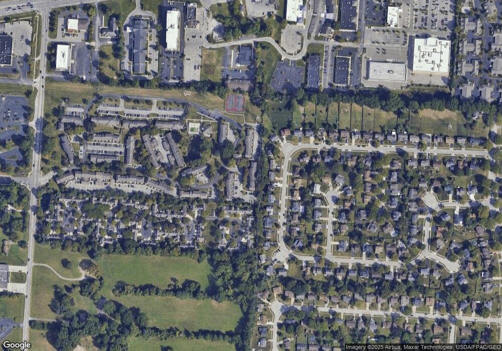
Map
- 6205 Stornoway Dr S
- 6199 Stornoway Dr S Unit 6199
- 6164 Stornoway Dr S Unit 6164
- 6168 Stornoway Dr S Unit 6168
- 86 Stornoway Dr W Unit 86
- 6144 Stornoway Dr S Unit Bldg 16
- 6415 Firethorn Ave
- 97 Stornoway Dr W Unit 97
- 142 Villamere Dr Unit 6
- 136 Villamere Dr Unit 7
- 404 Knob Ave
- 445 Hawthorne Place
- 6560 Schenk Ave
- 6309 Alissa Ln
- 523 Winnard Dr
- 6353 Lennon Ct Unit A
- 589 Brice Rd
- 5910 Rock Hill Rd
- 6258 Braiden Ct Unit D
- 6056 Naughten Pond Dr
- 140 Stornoway Dr E
- 138 Stornoway Dr E
- 136 Stornoway Dr E Unit 136
- 144 Stornoway Dr E
- 146 Stornoway Dr E
- 148 Stornoway Dr E
- 130 Stornoway Dr E
- 150 Stornoway Dr E
- 134 Stornoway Dr E Unit B
- 134 Stornoway Dr E Unit 134A
- 134 Stornoway Dr E Unit A
- 128 Stornoway Dr E Unit 2
- 132 Stornoway Dr E Unit B
- 132 Stornoway Dr E Unit 132A
- 132 Stornoway Dr E
- 132 Stornoway Dr S Unit A/B
- 132 Stornoway Dr E Unit A
- 181 Needlewood Ln
- 173 Needlewood Ln
- 126 Stornoway Dr E
Ask me questions while you tour the home.