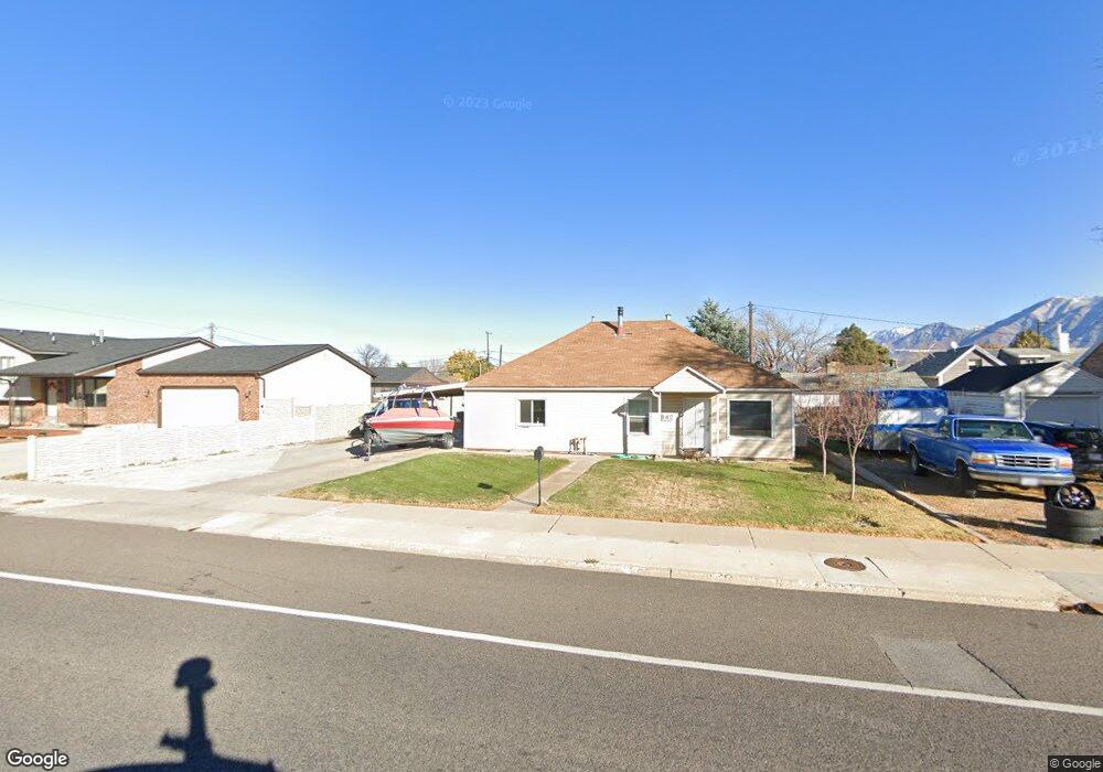
142 W 400 N Spanish Fork, UT 84660
Estimated Value: $370,000 - $479,000
3
Beds
1
Bath
1,829
Sq Ft
$225/Sq Ft
Est. Value
About This Home
This home is located at 142 W 400 N, Spanish Fork, UT 84660 and is currently estimated at $411,658, approximately $225 per square foot. 142 W 400 N is a home located in Utah County with nearby schools including Brockbank Elementary School, Spanish Fork Jr High School, and Spanish Fork High School.
Ownership History
Date
Name
Owned For
Owner Type
Purchase Details
Closed on
Jun 3, 2013
Sold by
Hathaway Larry Weldon and Cannon Mildred
Bought by
Argyle Jasen C
Current Estimated Value
Home Financials for this Owner
Home Financials are based on the most recent Mortgage that was taken out on this home.
Original Mortgage
$100,000
Outstanding Balance
$70,593
Interest Rate
3.32%
Mortgage Type
New Conventional
Estimated Equity
$341,065
Purchase Details
Closed on
May 9, 2013
Sold by
Hathaway Larry Weldon and Carlson Elaine
Bought by
Hathaway Larry Weldon and Cannon Mildred
Home Financials for this Owner
Home Financials are based on the most recent Mortgage that was taken out on this home.
Original Mortgage
$100,000
Outstanding Balance
$70,593
Interest Rate
3.32%
Mortgage Type
New Conventional
Estimated Equity
$341,065
Create a Home Valuation Report for This Property
The Home Valuation Report is an in-depth analysis detailing your home's value as well as a comparison with similar homes in the area
Home Values in the Area
Average Home Value in this Area
Purchase History
| Date | Buyer | Sale Price | Title Company |
|---|---|---|---|
| Argyle Jasen C | -- | Title West | |
| Hathaway Larry Weldon | -- | Title West |
Source: Public Records
Mortgage History
| Date | Status | Borrower | Loan Amount |
|---|---|---|---|
| Open | Argyle Jasen C | $100,000 | |
| Closed | Hathaway Larry Weldon | $100,000 |
Source: Public Records
Tax History Compared to Growth
Tax History
| Year | Tax Paid | Tax Assessment Tax Assessment Total Assessment is a certain percentage of the fair market value that is determined by local assessors to be the total taxable value of land and additions on the property. | Land | Improvement |
|---|---|---|---|---|
| 2025 | $1,476 | $175,505 | $83,200 | $235,900 |
| 2024 | $1,476 | $152,130 | $0 | $0 |
| 2023 | $1,409 | $145,365 | $0 | $0 |
| 2022 | $1,562 | $158,070 | $0 | $0 |
| 2021 | $1,418 | $229,600 | $48,200 | $181,400 |
| 2020 | $1,293 | $203,600 | $40,200 | $163,400 |
| 2019 | $1,099 | $182,000 | $39,900 | $142,100 |
| 2018 | $1,021 | $163,500 | $39,900 | $123,600 |
| 2017 | $941 | $80,960 | $0 | $0 |
| 2016 | $826 | $70,125 | $0 | $0 |
| 2015 | $744 | $62,425 | $0 | $0 |
| 2014 | $672 | $56,595 | $0 | $0 |
Source: Public Records
Map
Nearby Homes