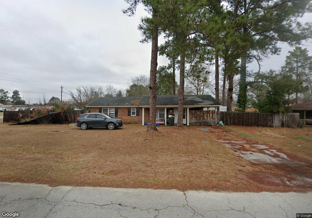
142 W Daniel St Metter, GA 30439
Estimated Value: $111,000 - $145,000
--
Bed
1
Bath
1,075
Sq Ft
$124/Sq Ft
Est. Value
About This Home
This home is located at 142 W Daniel St, Metter, GA 30439 and is currently estimated at $133,518, approximately $124 per square foot. 142 W Daniel St is a home located in Candler County with nearby schools including Metter Elementary School, Metter Intermediate School, and Metter Middle School.
Ownership History
Date
Name
Owned For
Owner Type
Purchase Details
Closed on
Sep 30, 2022
Sold by
Alexander Angela Lynn
Bought by
Anderson Lisa and Hester Anne
Current Estimated Value
Purchase Details
Closed on
Sep 5, 2003
Sold by
Federal Home Loan Mortgage Cor
Bought by
Dasher Angela
Purchase Details
Closed on
Feb 4, 2003
Sold by
Chase Manhattan Mortgage Corporation
Bought by
Federal Home Loan Mortgage Corporation
Purchase Details
Closed on
Apr 12, 1996
Sold by
Green Madie
Bought by
Passmore Frederick
Purchase Details
Closed on
Feb 14, 1996
Sold by
Lanier David
Bought by
Green Madie
Purchase Details
Closed on
Apr 28, 1995
Sold by
Green Madie
Bought by
Lanier David
Purchase Details
Closed on
Jan 1, 1992
Sold by
Massey Keith and Massey Lesl
Bought by
Green Madie
Purchase Details
Closed on
Apr 1, 1990
Bought by
Massey Keith and Massey Lesl
Create a Home Valuation Report for This Property
The Home Valuation Report is an in-depth analysis detailing your home's value as well as a comparison with similar homes in the area
Home Values in the Area
Average Home Value in this Area
Purchase History
| Date | Buyer | Sale Price | Title Company |
|---|---|---|---|
| Anderson Lisa | -- | -- | |
| Dasher Angela | $52,900 | -- | |
| Federal Home Loan Mortgage Corporation | $51,900 | -- | |
| Chase Manhattan Mortgage Corporation | $51,900 | -- | |
| Passmore Frederick | $46,000 | -- | |
| Green Madie | -- | -- | |
| Lanier David | $40,000 | -- | |
| Green Madie | -- | -- | |
| Massey Keith | $35,000 | -- |
Source: Public Records
Tax History Compared to Growth
Tax History
| Year | Tax Paid | Tax Assessment Tax Assessment Total Assessment is a certain percentage of the fair market value that is determined by local assessors to be the total taxable value of land and additions on the property. | Land | Improvement |
|---|---|---|---|---|
| 2024 | $1,617 | $35,630 | $4,294 | $31,336 |
| 2023 | $1,617 | $34,108 | $4,294 | $29,814 |
| 2022 | $1,511 | $33,134 | $3,390 | $29,744 |
| 2021 | $1,321 | $28,735 | $3,390 | $25,345 |
| 2020 | $1,324 | $28,735 | $3,390 | $25,345 |
| 2019 | $1,417 | $30,835 | $3,051 | $27,784 |
| 2018 | $961 | $24,116 | $3,051 | $21,065 |
| 2017 | $819 | $24,455 | $3,390 | $21,065 |
| 2016 | $1,109 | $24,455 | $3,390 | $21,065 |
| 2015 | $945 | $24,290 | $3,390 | $20,901 |
| 2014 | $945 | $24,291 | $3,390 | $20,901 |
Source: Public Records
Map
Nearby Homes
- 245 N Terrell St
- 520 Hope St
- 50 N Daughtry St
- 250 S Lewis St
- 822 N Lewis St
- 150 W Willow Lake Dr
- 450 S Rountree St
- 507 S College St
- 550 S Rountree St
- 792 Michael St
- 605 Carolyn St
- 4515 Harper Rd
- 1449 Hulsey Dr
- 286 Webb Cir
- 0 Oak Tree Rd Unit (31.62 AC) 10490874
- 743 Ann's Ln
- 404 Ann Ln
- 9546 Union Rd
- 0 Indigo Rd Unit 10425491
- 527 Windmill Rd
- 140 W Daniel St
- 20 Hickory St
- 225 W Daniel St
- 235 W Daniel St
- 120 W Daniel St
- 215 W Daniel St
- 30 Hickory St
- 215 Mattie Dr
- 205 W Daniel St
- 40 Hickory St
- 110 W Daniel St
- 205 Mattie Dr
- 60 Ray St
- 225 Mattie Dr
- 50 Ray St
- 465 N Kennedy St
- 50 Hickory St
- 0 Daniel St Unit 7312075
- 0 Daniel St Unit 8704129
- 0 Daniel St Unit 8103695