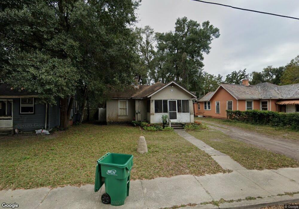
142 W Euclid Ave Deland, FL 32720
Estimated Value: $112,000 - $147,000
3
Beds
1
Bath
958
Sq Ft
$135/Sq Ft
Est. Value
About This Home
This home is located at 142 W Euclid Ave, Deland, FL 32720 and is currently estimated at $129,531, approximately $135 per square foot. 142 W Euclid Ave is a home located in Volusia County with nearby schools including Edith I. Starke Elementary School, Deland High School, and Southwestern Middle School.
Ownership History
Date
Name
Owned For
Owner Type
Purchase Details
Closed on
Feb 13, 2024
Sold by
Ray Candace R and Robertson Blythe
Bought by
Ramirez Fabio and Gomez Cruz
Current Estimated Value
Purchase Details
Closed on
Feb 19, 2016
Sold by
Ray Candace R
Bought by
Ray Candace R and Robertson Blythe J
Purchase Details
Closed on
Apr 5, 2005
Sold by
Cook John E
Bought by
Peterson B Jean and B Jean Peterson Trust
Purchase Details
Closed on
Jan 7, 2003
Sold by
Cook John E
Bought by
Cook Jerry L
Purchase Details
Closed on
Aug 15, 1997
Sold by
Cook Jerry L
Bought by
Cook John E
Purchase Details
Closed on
Apr 15, 1966
Bought by
Ray Candace R
Create a Home Valuation Report for This Property
The Home Valuation Report is an in-depth analysis detailing your home's value as well as a comparison with similar homes in the area
Home Values in the Area
Average Home Value in this Area
Purchase History
| Date | Buyer | Sale Price | Title Company |
|---|---|---|---|
| Ramirez Fabio | $130,000 | Landcastle Title | |
| Ramirez Fabio | $130,000 | Landcastle Title | |
| Ray Candace R | -- | None Available | |
| Peterson B Jean | $44,900 | Ability Title Inc | |
| Cook Jerry L | -- | -- | |
| Cook John E | -- | -- | |
| Cook John E | -- | -- | |
| Cook Jerry L | -- | -- | |
| Ray Candace R | -- | -- |
Source: Public Records
Tax History Compared to Growth
Tax History
| Year | Tax Paid | Tax Assessment Tax Assessment Total Assessment is a certain percentage of the fair market value that is determined by local assessors to be the total taxable value of land and additions on the property. | Land | Improvement |
|---|---|---|---|---|
| 2025 | $944 | $67,993 | $19,000 | $48,993 |
| 2024 | $944 | $69,176 | $19,000 | $50,176 |
| 2023 | $944 | $60,752 | $10,750 | $50,002 |
| 2022 | $874 | $55,446 | $10,750 | $44,696 |
| 2021 | $827 | $45,734 | $8,500 | $37,234 |
| 2020 | $747 | $40,327 | $5,750 | $34,577 |
| 2019 | $710 | $36,478 | $4,798 | $31,680 |
| 2018 | $644 | $28,616 | $4,293 | $24,323 |
| 2017 | $619 | $26,538 | $3,032 | $23,506 |
| 2016 | $465 | $21,350 | $0 | $0 |
| 2015 | $439 | $19,643 | $0 | $0 |
| 2014 | $406 | $17,560 | $0 | $0 |
Source: Public Records
Map
Nearby Homes
- 205 W Division St
- 221 W Euclid Ave
- 430 S Parsons Ave
- 711 S Palmetto Ave
- 125 W Voorhis Ave
- 0 Deland Unit MFRV4942835
- 0 Deland Unit 1213697
- 0 Deland Unit R11052053
- 406 S Delaware Ave
- 647 S Delaware Ave
- 709 S Parsons Ave
- 205 E Voorhis Ave
- 138 W Volusia Ave
- 9 Villa Villar Ct
- 215 E Voorhis Ave Unit 2D
- 13 Villa Villar Ct Unit 130
- 534 S Adelle Ave
- 0 U S 92
- 47 Villa Villar Ct Unit 470
- 614 S Amelia Ave
- 146 W Euclid Ave
- 136 W Euclid Ave
- 132 W Euclid Ave
- 143 W Division St
- 145 W Division St
- 141 W Division St
- 129 W Division St
- 129 W Euclid Ave
- 512 S Florida Ave
- 128 W Euclid Ave
- 201 W Division St Unit SR
- 127 W Division St
- 123 W Euclid Ave
- 430 S Florida Ave
- 121 W Euclid Ave
- 122 W Euclid Ave
- 202 W Division St
- 207 W Division St
- 214 W Highland Ave
- 204 W Division St