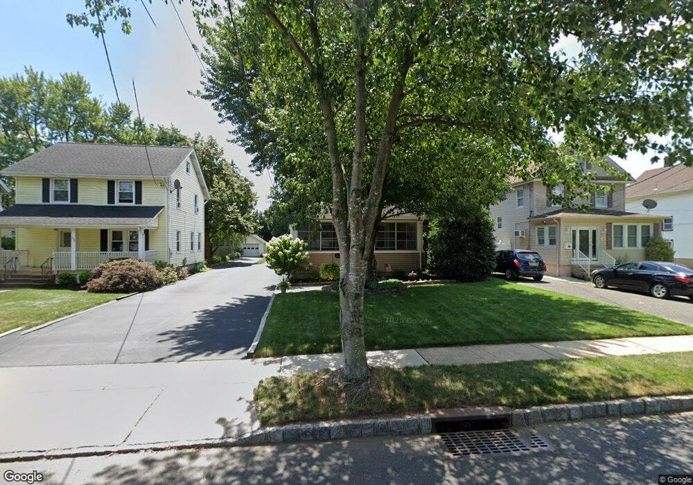
142 W Maple Ave Bound Brook, NJ 08805
Estimated Value: $437,000 - $508,000
--
Bed
--
Bath
1,154
Sq Ft
$407/Sq Ft
Est. Value
About This Home
This home is located at 142 W Maple Ave, Bound Brook, NJ 08805 and is currently estimated at $469,942, approximately $407 per square foot. 142 W Maple Ave is a home located in Somerset County with nearby schools including LaMonte Annex Elementary School, Lafayette Elementary School, and Bound Brook High School.
Ownership History
Date
Name
Owned For
Owner Type
Purchase Details
Closed on
Aug 22, 2005
Sold by
Porter Michael N
Bought by
Blalock James A and Vitale Jennifer L
Current Estimated Value
Home Financials for this Owner
Home Financials are based on the most recent Mortgage that was taken out on this home.
Original Mortgage
$295,920
Outstanding Balance
$155,650
Interest Rate
5.68%
Estimated Equity
$314,292
Purchase Details
Closed on
Oct 22, 1998
Sold by
Fitzpatrick Thomas
Bought by
Porter Michael and Porter Barbara
Home Financials for this Owner
Home Financials are based on the most recent Mortgage that was taken out on this home.
Original Mortgage
$141,300
Interest Rate
6.68%
Purchase Details
Closed on
Jan 13, 1994
Sold by
Flanagan Roger
Bought by
Fitzpatrick Thomas and Fitzpatrick Jennifer
Home Financials for this Owner
Home Financials are based on the most recent Mortgage that was taken out on this home.
Original Mortgage
$154,000
Interest Rate
7.22%
Create a Home Valuation Report for This Property
The Home Valuation Report is an in-depth analysis detailing your home's value as well as a comparison with similar homes in the area
Home Values in the Area
Average Home Value in this Area
Purchase History
| Date | Buyer | Sale Price | Title Company |
|---|---|---|---|
| Blalock James A | $369,900 | -- | |
| Porter Michael | $157,000 | -- | |
| Fitzpatrick Thomas | $171,000 | -- |
Source: Public Records
Mortgage History
| Date | Status | Borrower | Loan Amount |
|---|---|---|---|
| Open | Blalock James A | $295,920 | |
| Previous Owner | Porter Michael | $141,300 | |
| Previous Owner | Fitzpatrick Thomas | $154,000 |
Source: Public Records
Tax History Compared to Growth
Tax History
| Year | Tax Paid | Tax Assessment Tax Assessment Total Assessment is a certain percentage of the fair market value that is determined by local assessors to be the total taxable value of land and additions on the property. | Land | Improvement |
|---|---|---|---|---|
| 2025 | $8,942 | $418,200 | $230,900 | $187,300 |
| 2024 | $8,942 | $394,100 | $211,900 | $182,200 |
| 2023 | $8,519 | $361,300 | $183,400 | $177,900 |
| 2022 | $8,419 | $338,400 | $169,100 | $169,300 |
| 2021 | $8,005 | $317,300 | $154,900 | $162,400 |
| 2020 | $8,514 | $275,800 | $126,400 | $149,400 |
| 2019 | $8,005 | $247,300 | $97,900 | $149,400 |
| 2018 | $8,322 | $249,600 | $97,900 | $151,700 |
| 2017 | $8,108 | $237,700 | $88,400 | $149,300 |
| 2016 | $8,130 | $240,100 | $74,100 | $166,000 |
| 2015 | $8,095 | $244,500 | $97,900 | $146,600 |
| 2014 | $8,381 | $244,500 | $97,900 | $146,600 |
Source: Public Records
Map
Nearby Homes
- 520 Winsor St
- 102 W Franklin St
- 563 Winsor St
- 307 W Union Ave
- 126 W High St
- 130 W High St Unit 132
- 320 Church St
- 14 E Maple Ave
- 112 E Union Ave
- 112-114 E Union Ave
- 40 van Keuren Ave Unit 42
- 650 Central Ave
- 34 van Keuren Ave Unit 38
- 606 Vosseller Ave
- 248 W High St
- 617 Vosseller Ave
- 2 Drake St
- 581 Mountain Ave
- 597 Mountain Ave
- 180 Farm Ln
- 138 W Maple Ave
- 148 W Maple Ave
- 134 W Maple Ave
- 428 Livingston St
- 152 W Maple Ave
- 426 Livingston St
- 424 Livingston St
- 131 W Union Ave
- 151 W Maple Ave
- 131 W Maple Ave
- 204 W Maple Ave
- 147 W Union Ave
- 425 Livingston St
- 133 W Maple Ave
- 135 W Maple Ave
- 145 W Union Ave
- 153 W Union Ave
- 129 W Maple Ave
- 421 Livingston St
- 127 W Maple Ave