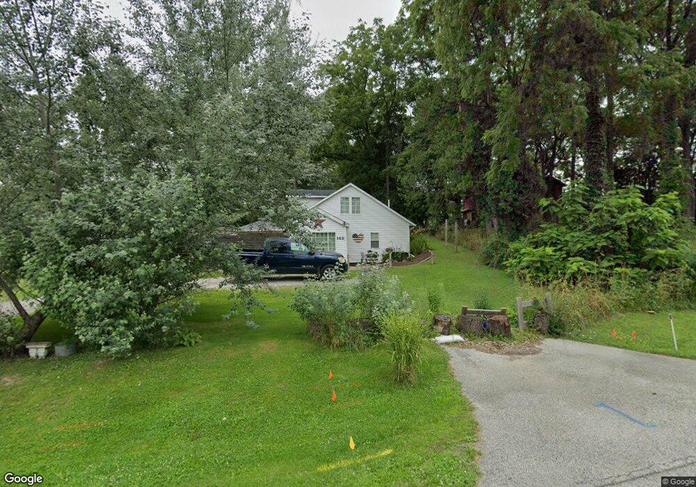
142 W Mcclung Rd La Porte, IN 46350
Estimated Value: $126,000 - $190,000
1
Bed
1
Bath
694
Sq Ft
$239/Sq Ft
Est. Value
About This Home
This home is located at 142 W Mcclung Rd, La Porte, IN 46350 and is currently estimated at $165,999, approximately $239 per square foot. 142 W Mcclung Rd is a home located in LaPorte County with nearby schools including Riley Elementary School, La Porte High School, and Dunkerton High School.
Ownership History
Date
Name
Owned For
Owner Type
Purchase Details
Closed on
Dec 4, 2012
Sold by
Buckner Charles M and Buckner Leonard
Bought by
City Of Laporte
Current Estimated Value
Purchase Details
Closed on
Apr 6, 2010
Sold by
Buckner Leonard D
Bought by
Buckner Charles M and Buckner Leonard
Purchase Details
Closed on
Jun 22, 2006
Sold by
Wachovia Mortgage Corp
Bought by
Buckner Leonard D
Purchase Details
Closed on
Apr 27, 2006
Sold by
Wolfenbarger Robert and Wolfenbarger Angela
Bought by
Wachovia Mortgage Corp and First Union Home Equity Bank
Create a Home Valuation Report for This Property
The Home Valuation Report is an in-depth analysis detailing your home's value as well as a comparison with similar homes in the area
Home Values in the Area
Average Home Value in this Area
Purchase History
| Date | Buyer | Sale Price | Title Company |
|---|---|---|---|
| City Of Laporte | $7,900 | None Available | |
| Buckner Charles M | -- | None Available | |
| Buckner Leonard D | -- | Investors Titlecorp | |
| Wachovia Mortgage Corp | $29,364 | None Available |
Source: Public Records
Tax History Compared to Growth
Tax History
| Year | Tax Paid | Tax Assessment Tax Assessment Total Assessment is a certain percentage of the fair market value that is determined by local assessors to be the total taxable value of land and additions on the property. | Land | Improvement |
|---|---|---|---|---|
| 2024 | $724 | $82,800 | $18,600 | $64,200 |
| 2022 | $532 | $68,700 | $15,500 | $53,200 |
| 2021 | $513 | $65,600 | $15,500 | $50,100 |
| 2020 | $465 | $65,600 | $15,500 | $50,100 |
| 2019 | $510 | $61,700 | $15,900 | $45,800 |
| 2018 | $1,134 | $54,300 | $12,800 | $41,500 |
| 2017 | $1,134 | $54,300 | $12,800 | $41,500 |
| 2016 | $970 | $46,100 | $11,200 | $34,900 |
| 2014 | $898 | $44,900 | $11,200 | $33,700 |
Source: Public Records
Map
Nearby Homes
- 125 W Mcclung Rd
- 169 W Mcclung Rd Unit 201
- 169 W Mcclung Rd Unit 203
- 610 Home St
- 195 W Mcclung Rd
- 1944 Park St
- 1960 Park St
- 1964 Park St
- 1962 Park St
- 865 W 200 N
- 0 W Lot 81 Concord Dr Unit NRA809376
- 0 W 450 St N Unit NRA827579
- 842-Lot 59 W Broken Arrow Dr
- 0 N Us Hwy 35 Unit NRA809471
- 0 Pawnee Trail Unit NRA824498
- 6877 N Nature Ln
- 0 W Lot 38 Malaga Dr Unit NRA809384
- 0 N 400 W Unit NRA544762
- 3069 N Morning Glory Ave
- 3067 N Morning Glory Ave
- 234 Mcclung Rd
- 179 Mcclung Rd
- 161 Mcclung Rd
- 138 W Mcclung Rd
- 144 W Mcclung Rd
- 146 W Mcclung Rd
- 147 W Mcclung Rd
- 137 W Mcclung Rd
- 153 W Mcclung Rd
- 132 W Mcclung Rd
- 128 W Mcclung Rd
- 152A W Mcclung Rd
- 152 W Mcclung Rd Unit B
- 135 W Mcclung Rd
- 154 W Mcclung Rd
- 150 W Mcclung Rd
- 155 W Mcclung Rd
- 133 W Mcclung Rd
- 133 W Mcclung Rd Unit B
- 159 W Mcclung Rd