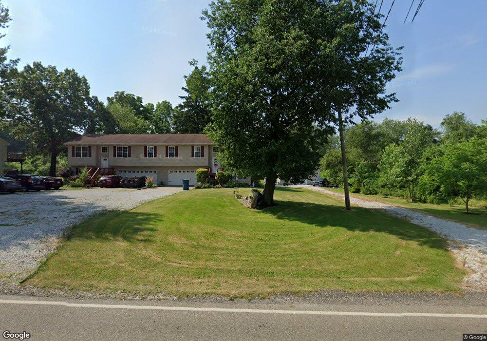
1420 Center Rd New Franklin, OH 44216
Estimated Value: $914,000 - $1,224,442
5
Beds
7
Baths
4,334
Sq Ft
$239/Sq Ft
Est. Value
About This Home
This home is located at 1420 Center Rd, New Franklin, OH 44216 and is currently estimated at $1,034,814, approximately $238 per square foot. 1420 Center Rd is a home located in Summit County.
Ownership History
Date
Name
Owned For
Owner Type
Purchase Details
Closed on
Jun 17, 2014
Sold by
Miller Stuart A and Miller Dale L
Bought by
The Stuart A Miller And Dale L Miller Jo
Current Estimated Value
Purchase Details
Closed on
Mar 30, 2011
Sold by
Fifth Third Mortgage Company
Bought by
Miller Stuart A and Miller Dale L
Home Financials for this Owner
Home Financials are based on the most recent Mortgage that was taken out on this home.
Original Mortgage
$306,400
Outstanding Balance
$16,724
Interest Rate
5.04%
Mortgage Type
New Conventional
Estimated Equity
$1,018,090
Purchase Details
Closed on
May 26, 2010
Sold by
Malagrida Paul E
Bought by
Fifth Third Mortgage Company
Purchase Details
Closed on
Apr 15, 2003
Sold by
Malagrida Paul E
Bought by
Malagrida Paul E
Home Financials for this Owner
Home Financials are based on the most recent Mortgage that was taken out on this home.
Original Mortgage
$640,000
Interest Rate
5.25%
Create a Home Valuation Report for This Property
The Home Valuation Report is an in-depth analysis detailing your home's value as well as a comparison with similar homes in the area
Home Values in the Area
Average Home Value in this Area
Purchase History
| Date | Buyer | Sale Price | Title Company |
|---|---|---|---|
| The Stuart A Miller And Dale L Miller Jo | -- | None Available | |
| Miller Stuart A | $383,000 | Attorney | |
| Fifth Third Mortgage Company | $476,000 | None Available | |
| Malagrida Paul E | -- | -- |
Source: Public Records
Mortgage History
| Date | Status | Borrower | Loan Amount |
|---|---|---|---|
| Open | Miller Stuart A | $306,400 | |
| Previous Owner | Malagrida Paul E | $640,000 |
Source: Public Records
Tax History Compared to Growth
Tax History
| Year | Tax Paid | Tax Assessment Tax Assessment Total Assessment is a certain percentage of the fair market value that is determined by local assessors to be the total taxable value of land and additions on the property. | Land | Improvement |
|---|---|---|---|---|
| 2025 | $14,290 | $285,583 | $44,118 | $241,465 |
| 2024 | $14,290 | $285,583 | $44,118 | $241,465 |
| 2023 | $14,290 | $285,583 | $44,118 | $241,465 |
| 2022 | $13,846 | $215,776 | $32,925 | $182,851 |
| 2021 | $13,896 | $215,776 | $32,925 | $182,851 |
| 2020 | $13,656 | $215,780 | $32,930 | $182,850 |
| 2019 | $12,394 | $175,370 | $29,630 | $145,740 |
| 2018 | $10,696 | $175,370 | $29,630 | $145,740 |
| 2017 | $10,575 | $175,370 | $29,630 | $145,740 |
| 2016 | $10,451 | $157,030 | $29,630 | $127,400 |
| 2015 | $10,575 | $157,030 | $29,630 | $127,400 |
| 2014 | $10,558 | $157,030 | $29,630 | $127,400 |
| 2013 | $11,511 | $173,410 | $29,630 | $143,780 |
Source: Public Records
Map
Nearby Homes
- 1062 Stump Rd
- 6090 Manchester Rd Unit 6096
- 781 Leeman Dr
- 6387 Hampsher Rd
- 715 Highland Park Dr
- 4851 Manchester Rd
- 4698 Manchester Rd
- 5983 Weaver Rd
- 451 Yager Rd
- 6407 Southview Dr
- 2536 Emmons Dr
- 2200 W Comet Rd
- 4567 Rex Lake Dr
- S/L 14,15 Shakes Hotel Dr
- 7060 Manchester Rd
- 0 W Comet Rd Unit 5079117
- 7452 S Cleveland Massillon Rd
- lot 8 Whyem Dr
- 7 Shrakes Hotel Dr
- 6 Shrakes Hotel Dr
- 1347 Maple Grove Cir
- 1361 Maple Grove Cir
- 1321 Maple Grove Cir
- 1436 Center Rd
- 1364 1366 Center Rd
- 1342 Center Rd
- 1336 Center Rd
- 1424 Center Rd
- 1360 Maple Grove Cir
- 1400 Center Rd Unit 1402
- 1402 Center Rd
- 1402 Center Rd
- 1283 Maple Grove Cir
- 1364 Center Rd Unit 1366
- 1366 Center Rd
- 1382 Center Rd
- 1382 Center Rd
- 1380 Center Rd Unit 1382
- 1334 Maple Grove Cir
- 1474 Center Rd