Estimated Value: $145,000 - $183,000
3
Beds
2
Baths
1,456
Sq Ft
$116/Sq Ft
Est. Value
About This Home
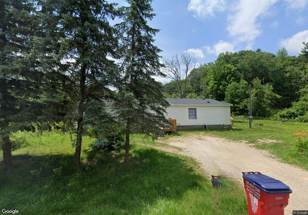
This home is located at 1420 E 112th St, Grant, MI 49327 and is currently estimated at $168,454, approximately $115 per square foot. 1420 E 112th St is a home located in Newaygo County with nearby schools including Grant Primary Center, Grant Elementary School, and Grant Middle School.
Ownership History
Date
Name
Owned For
Owner Type
Purchase Details
Closed on
Feb 16, 2023
Sold by
Bryant Interprize Inc
Bought by
Jat Ventures Llc
Current Estimated Value
Purchase Details
Closed on
Jul 20, 2006
Sold by
Newaygo County Treasurer
Bought by
Bryant Interprize Inc
Purchase Details
Closed on
Nov 20, 2003
Sold by
Holliday Terry and Holliday Hortencia
Bought by
Holliday Darin and Holliday Theresa
Home Financials for this Owner
Home Financials are based on the most recent Mortgage that was taken out on this home.
Original Mortgage
$77,600
Interest Rate
8.64%
Mortgage Type
Purchase Money Mortgage
Create a Home Valuation Report for This Property
The Home Valuation Report is an in-depth analysis detailing your home's value as well as a comparison with similar homes in the area
Purchase History
| Date | Buyer | Sale Price | Title Company |
|---|---|---|---|
| Jat Ventures Llc | $50,000 | -- | |
| Bryant Interprize Inc | $35,000 | -- | |
| Holliday Darin | $97,000 | Crowne Title Agency Inc | |
| Holliday Darin | $97,000 | -- |
Source: Public Records
Mortgage History
| Date | Status | Borrower | Loan Amount |
|---|---|---|---|
| Previous Owner | Holliday Darin | $77,600 |
Source: Public Records
Tax History
| Year | Tax Paid | Tax Assessment Tax Assessment Total Assessment is a certain percentage of the fair market value that is determined by local assessors to be the total taxable value of land and additions on the property. | Land | Improvement |
|---|---|---|---|---|
| 2025 | $459 | $45,900 | $0 | $0 |
| 2024 | $4 | $39,700 | $0 | $0 |
| 2023 | $222 | $32,400 | $0 | $0 |
| 2022 | $845 | $27,100 | $0 | $0 |
| 2021 | $859 | $25,100 | $0 | $0 |
| 2020 | $848 | $20,800 | $0 | $0 |
| 2019 | $820 | $19,600 | $0 | $0 |
| 2018 | $844 | $18,500 | $0 | $0 |
| 2017 | $826 | $16,800 | $0 | $0 |
| 2016 | $812 | $16,600 | $0 | $0 |
| 2015 | -- | $17,000 | $0 | $0 |
| 2014 | -- | $18,400 | $0 | $0 |
Source: Public Records
Map
Nearby Homes
- 12449 S Catalpa Ave
- Lot 19 S Elder Ave
- 9370 S Hannah Ln
- 9500 S Annie Ln
- 10021 S Mason Dr
- 10041 S Mason Dr
- 140 E Commerce St
- 151 & 153 Clark St
- 11298 S Gordon Ave
- 9310 Benjamin Dr
- 9425 S Benjamin Dr
- 283 S Jones St
- 177 W 96th St
- 953 E 136th St
- 8751 Old Elm Ln
- 500 E 136th St
- 859 E Old Pine Trail Unit 63
- 8478 Vista Dr
- 608 E The Ln
- 998 Thompson Rd
- 1472 E 112th St
- 1334 E 112th St
- 0 E 112th St Unit 23004216
- 0 E 112th St Unit 71012041496
- 0 E 112th St Unit M17023195
- 0 E 112th St Unit M17023192
- 0 E 112th St Unit M22001496
- Lot 012 E 112th St
- Lot 013 E 112th St
- 1500 E 112th St
- 625 E 112th St Unit 695
- 0 E 112th St Unit PAR A 3553320
- 0 E 112th St Unit PAR 3 3548387
- 5660 E 112th St
- 0 E 112th St
- 13 E 112th St
- 12 E 112th St
- 920 E 112th St
- 960 E 112th St
- 1279 E 112th St
Your Personal Tour Guide
Ask me questions while you tour the home.