Studio
1
Bath
4,905
Sq Ft
55,975
Sq Ft
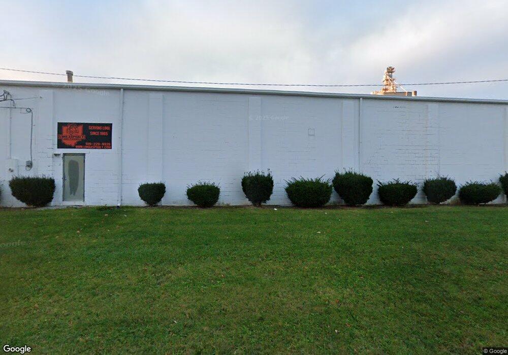
About This Home
This home is located at 1420 Elida Rd, Lima, OH 45805. 1420 Elida Rd is a home located in Allen County with nearby schools including Heritage Elementary School, Lima North Middle School, and Lima West Middle School.
Ownership History
Date
Name
Owned For
Owner Type
Purchase Details
Closed on
Oct 30, 2019
Sold by
Fisher Glenn D and Fisher Linda K
Bought by
Cmfh Llc
Home Financials for this Owner
Home Financials are based on the most recent Mortgage that was taken out on this home.
Original Mortgage
$430,000
Outstanding Balance
$335,438
Interest Rate
3.7%
Mortgage Type
Commercial
Purchase Details
Closed on
Dec 30, 1986
Bought by
Fisher Glenn D
Create a Home Valuation Report for This Property
The Home Valuation Report is an in-depth analysis detailing your home's value as well as a comparison with similar homes in the area
Purchase History
| Date | Buyer | Sale Price | Title Company |
|---|---|---|---|
| Cmfh Llc | $425,000 | None Available | |
| Fisher Glenn D | $175,000 | -- |
Source: Public Records
Mortgage History
| Date | Status | Borrower | Loan Amount |
|---|---|---|---|
| Open | Cmfh Llc | $430,000 |
Source: Public Records
Tax History
| Year | Tax Paid | Tax Assessment Tax Assessment Total Assessment is a certain percentage of the fair market value that is determined by local assessors to be the total taxable value of land and additions on the property. | Land | Improvement |
|---|---|---|---|---|
| 2024 | $7,938 | $155,370 | $58,210 | $97,160 |
| 2023 | $7,901 | $141,260 | $52,920 | $88,340 |
| 2022 | $7,908 | $141,260 | $52,920 | $88,340 |
| 2021 | $8,261 | $141,260 | $52,920 | $88,340 |
| 2020 | $5,625 | $89,080 | $48,510 | $40,570 |
| 2019 | $5,625 | $89,080 | $48,510 | $40,570 |
| 2018 | $5,567 | $89,080 | $48,510 | $40,570 |
| 2017 | $5,522 | $89,080 | $48,510 | $40,570 |
| 2016 | $5,594 | $89,080 | $48,510 | $40,570 |
| 2015 | $6,024 | $89,080 | $48,510 | $40,570 |
| 2014 | $6,024 | $95,590 | $48,510 | $47,080 |
| 2013 | $5,612 | $95,590 | $48,510 | $47,080 |
Source: Public Records
Map
Nearby Homes
- 1015 N Cole St
- 0 Latham
- 1245 Latham Ave
- 1407 Latham Ave
- 1027 Sherman Ave
- 1209 Rice Ave
- 1580 W Robb Ave
- 1160 Richie Ave
- 1600 Leland Ave
- 1605 Hazel Ave
- 949 Leland Ave
- 1120 Richie Ave
- 1164 Bahama Dr
- 745 Ewing Ave
- 974 Richie Ave
- 824 Rice Ave
- 513 N Charles St
- 1517 Allentown Rd
- 1027 Brice Ave
- 503 N Charles St
Your Personal Tour Guide
Ask me questions while you tour the home.